Edwards Aquifer Groundwater Flow Model Texas Ground Water


- Slides: 34
Edward’s Aquifer Ground-water Flow Model Texas Ground Water 2004 November 19, 2004 George B. Ozuna
Edwards Aquifer Model • In cooperation with: Ø Edwards Aquifer Authority Ø Department of Defense Ø USGS • • Richard Lindgren, USGS Sue Horvorka and Alan Dutton, BEG Scott Painter, Sw. RI Steve Worthington, Consultant
Edwards Aquifer Model • • Uniform ¼-mi grid 370 rows; 700 columns; 259, 000 cells One layer Grid alignment: Ø Major faults and flow near Comal and San Marcos Springs
Structure • Aquifer top elevation • Aquifer bottom elevation • Faults Provided by BEG – Sue Horvorka
Faults • Simulated using Horizontal Flow Barrier Package • Model inputs: Ø fault location Ø hydraulic characteristic (C) o hydraulic conductance term o Assumption: hydraulic characteristic (C) is a function of fault displacement n inversely proportional
Simulated Faults And Springs Las Moras Springs San Marcos Springs Leona Springs Fault San Antonio & San Pedro Springs Comal Springs
Model Boundary Conditions General-head boundary Recharge zone Noflow General-head boundary Noflow No-flow boundary – saline water line Colorado River – Head-dependent flux boundary
Hydraulic Conductivity Provided by Southwest Research – Scott Painter
Conduits Provided by EAA Consultant - Steve Worthington
Hydraulic Properties
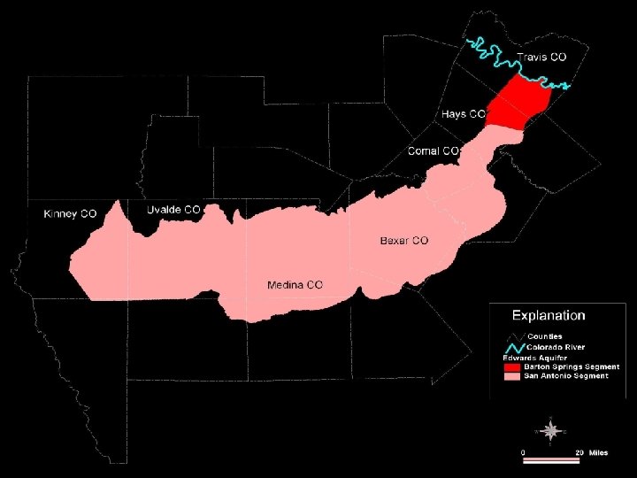
Simulated Recharge Zones
Recharge Zone - Stream Channels
Pumpage – by use Provided by BEG – Alan Dutton
Pumpage – by rate Provided by BEG – Alan Dutton
Steady-State Calibration • Calibration period: 1939 – 1946 • Pre-1950’s drought, minimal irrigation development • Near-normal precipitation • San Antonio precipitation: normal 1961 -90 30. 98 in/yr average 1939 -46 30. 47 in/yr
Steady-State Target Wells 144 wells
Steady-State Calibration
Transient Calibration • Calibration period: 1947 – 2000 • Calibration targets: Ø Long-term record wells o County Index wells o match hydrographs Ø Selected time periods of above- and below-normal precipitation o match hydraulic heads for a set of wells
Transient Calibration • Selected time periods Ø Below-normal precipitation o 1952 -57 n May thru November 1956 n 175 wells Ø Above-normal precipitation o 1973 -77 n November 1974 thru July 1975 n 172 wells
Transient Target Wells Drought Conditions, 175 Wells, May – November 1956
Transient Target Wells Wet Conditions, 172 Wells, November 1974 – July 1975
Transient Target Springs • 5 springs simulated: Ø Ø Ø San Marcos Comal Leona San Pedro* San Antonio* *Based on relation with Bexar index well
Transient Results Water-Level Hydrographs San Marcos Well Uvalde Index Well Medina Index Well Bexar Index Well Comal Well
Transient Results Water-Level Hydrographs
Transient Results Water-Level Hydrographs
Transient Results Water-Level Hydrographs
Transient Results Water-Level Hydrographs
Transient Results Water-Level Hydrographs
Transient Results Springflow Hydrographs Leona Springs San Marcos Springs Comal Springs
Transient Results Springflow Hydrographs
Transient Results Springflow Hydrographs
Transient Results Springflow Hydrographs
Edwards Aquifer Model • Model Inputs Ø Ø Structure Boundary Conditions Hydraulic Properties Stresses • Model Calibration Ø Targets Ø Steady-State Results Ø Transient Results