Education for Height Modernization Dr Stacey D Lyle


- Slides: 20
Education for Height Modernization Dr. Stacey D. Lyle, RPLS
Outline • Publications – Research – Media • Training Seminars – GPS on Benchmarks – Precise Digital Leveling • Future Solutions
Publication Research • Purpose: – Need for more research – Meeting needs of surveyors and mappers – Supporting United States Surveying and Mapping research in advanced surveying technology for Height Modernization – Supporting Height Modernization Activities with new methods and technology
Space Based RTK • Space based RTK solutions • GNSS- Institute of Navigation 2005 • Purpose: – Checking Vertical Monuments – Communication Problem – Real-time Networks Base Station GPS NTRIP Server 802. 11 x Option Internet Satellite Radio Modem Option
Map. Adapt • Real-time GIS server – GIS data server – Data sharing • Public Domain Software – Linux – Windows – Map. Server
TNRIS • TNRIS GIS Conference – Innovation Technology – Height Modernization • Texas Geographic Information Committee – Control Base Layer • Custodians
Digital Level Data Collection • Hand Held and Online Digital Data Collection and Data Processing • Purpose: – Improve Methodology – Advance Collection and Quality
Data Online • Online Users Processing Service – Digital Level Data OPUS- DLD • Purpose: – Ability to submit and reduce Digital Level Data – Update methodology of level data reduction
Handheld Digital Level Data • Purpose: – Build a software data collection system that meets NGS standards and promotes • Accomplishments – September 2006 NGS software specification meeting – October 2006 NGS Software data reduction meeting Existing Control Survey Publish Control
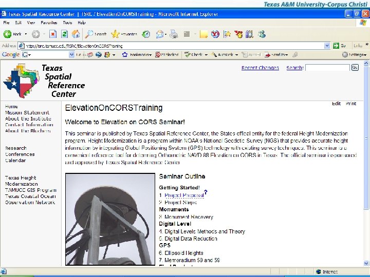
THM and Tx. DOT • Digital Level Training • Elevation on CORS Training • March, 2006 • 2 day training – Hands on data reduction – Software data reduction
GPS on Benchmarks • • • Project: 100 points across state Precise GPS Training of RPLS’s and field crews Data reduction and submission Purpose: – Recover and determine status of elevations in Texas – Improve NGS Geoid Models with GPS on Benchmarks
GPS on Benchmarks • Statewide training • Con Ed • 4 formal 8 hour training seminars – Houston, Dallas, San Antonio, and Laredo – Attendance: ~ 600 surveyors
GPS on Benchmarks • Topics – GPS technology – NGS NSRS – NGS Project Submittal – Memorandum 58 – Memorandum 59 – Monument Reset
GPS Benchmarks • OPUS – Methodology – Accuracy – Results – NAVD 88 Heights
GPS on Benchmarks • Elevation Benchmark Reset – Monument Saved Before Lost or Obliterated – Monument Building – Monument Survey – Digital Leveling – Data Submittal
Future Solutions • Distributed Learning – Web Seminar Software Solutions • Pm. Wiki • Power. Point – Video Solution – NGS Power. Point's – Online Exams
Web Seminars • Topics – Monument Recovery – Heights on CORS • Digital Leveling Field Data Collection • Digital Leveling Data Reduction • GPS on Benchmarks
Pedagogies • • • Guide Video Examination Certification Wider Audience
Conclusion • What level of education is needed? • What education is needed? • How should education be conducted?