
Eco Manage Project Hydrodynamical Challenges Francisco Javier Campuzano
- Slides: 20
Eco. Manage Project Hydrodynamical Challenges Francisco Javier Campuzano
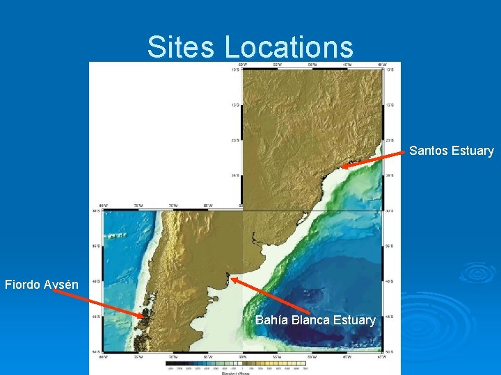
Sites Locations Ø Santos Estuary, Brazil Ø Bahía Blanca Estuary, Argentina Ø Aysén Fjord, Chile
Sites Locations Santos Estuary Fiordo Aysén Bahía Blanca Estuary
Santos Estuary Ø Located approximately at 24º S Ø Precipitation: 2000 -2500 mmy-1 Ø Mean Temperature 22º C
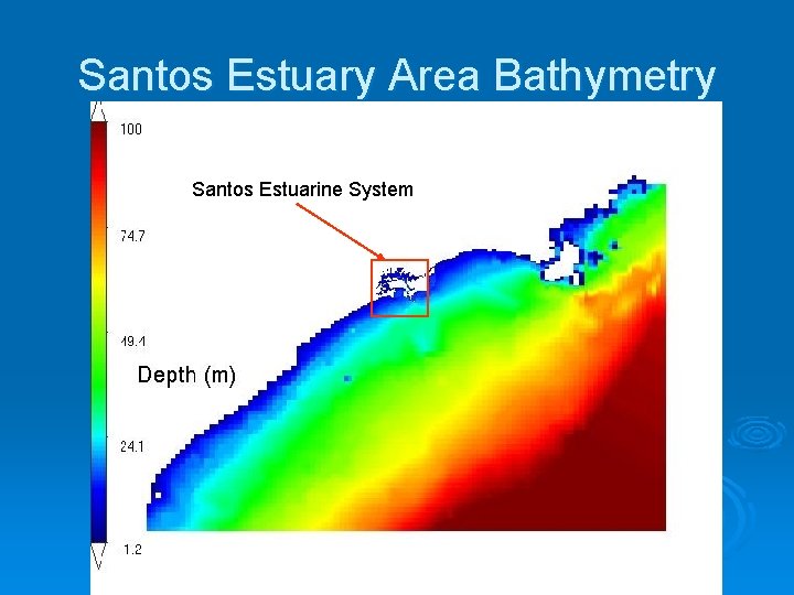
Santos Estuary Area Bathymetry Santos Estuarine System
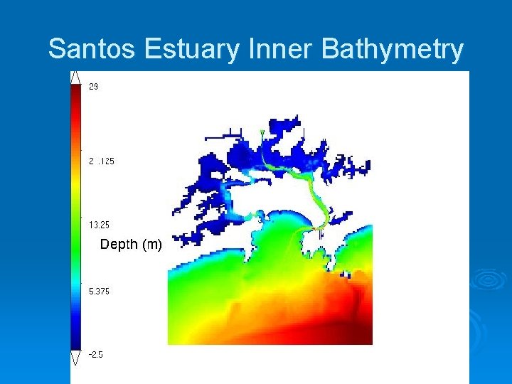
Santos Estuary Inner Bathymetry
Hydrodynamical Features Ø Presents three channels (Santos, Sâo Vicente & Bertioga) Ø Small water exchanges through the Bertioga Channel Ø Watershed limited by Serra do Mar Ø Winds: Spring -» East Ø April-September -» South
Hydrodynamical Features cont. Ø Mainly forced by: l l l Tides Local Wind Southern winds
Bahía Blanca Estuary Ø Located approximately ~ 39º S Ø Precipitation: 615 mmy-1 Ø Mean Temperature 14, 9°C
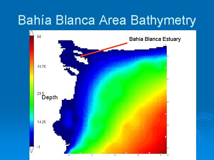
Bahía Blanca Area Bathymetry Bahía Blanca Estuary
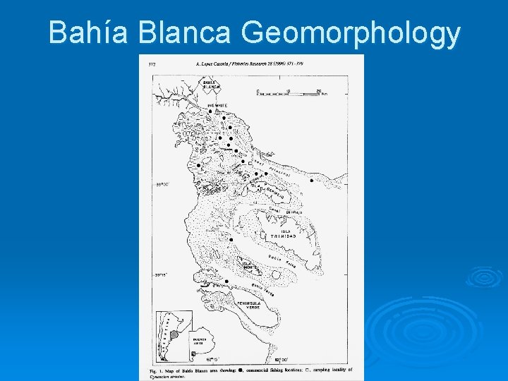
Bahía Blanca Geomorphology
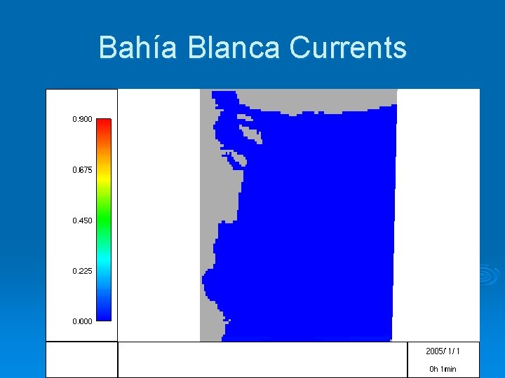
Bahía Blanca Currents
Hydrodynamical Features Mesotidal Coastal Plain (~4 m Oscillation) Ø Various Channels, low depth Ø Strong Tidal Currents Ø Semidiurnal Tidal Wave, Standind Wave Ø Uniform Vertical Distribution of Oceanographic Parameters Ø Predominant NW winds Ø Several Streams Discharging Ø Low mean annual runoff in tributaries Ø
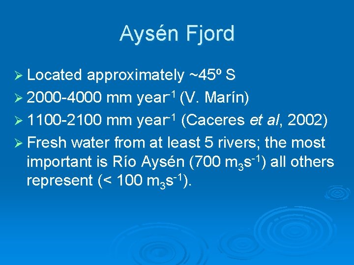
Aysén Fjord Ø Located approximately ~45º S Ø 2000 -4000 mm year-1 (V. Marín) Ø 1100 -2100 mm year-1 (Caceres et al, 2002) Ø Fresh water from at least 5 rivers; the most important is Río Aysén (700 m 3 s-1) all others represent (< 100 m 3 s-1).
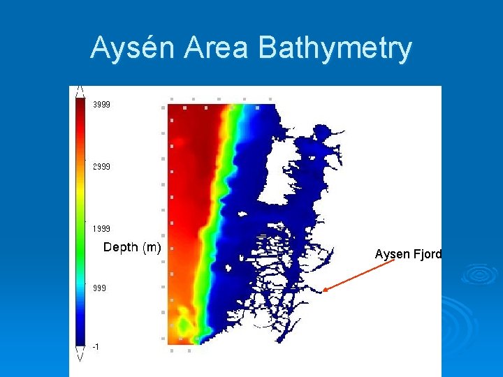
Aysén Area Bathymetry Aysen Fjord
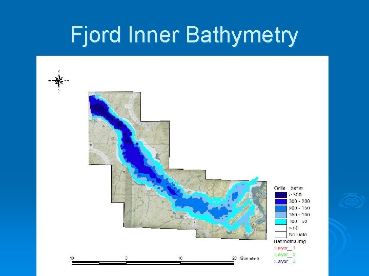
Fjord Inner Bathymetry
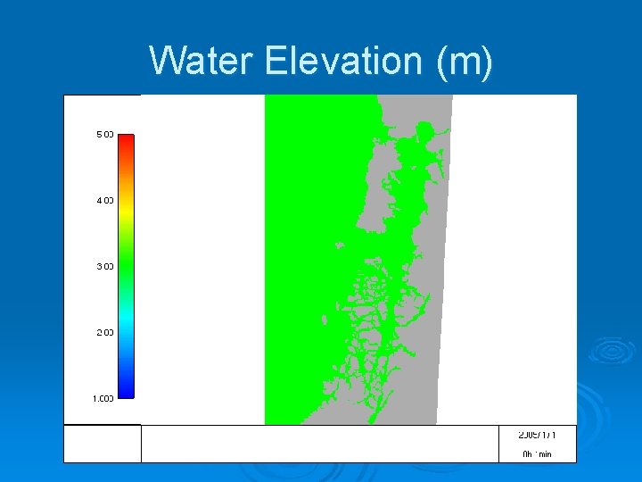
Water Elevation (m)
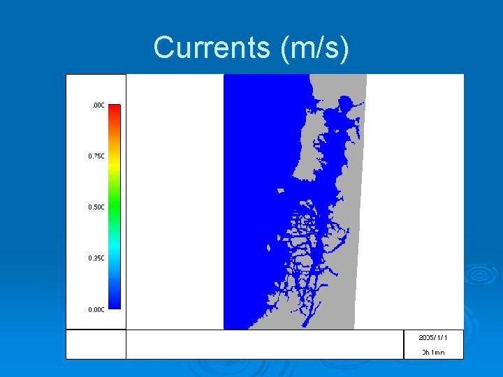
Currents (m/s)
Hydrodynamical Features Ø Ø Ø Ø Ø Mainly forced by tides predominantly semidiurnal Winds very important (Caceres et al, 2002) Steep Bathymetry (max depth ~350 m) Average width 6. 5 km Total lenght 65 km Little affected by remote forcing generated on the coastal shelf Wind regime Spring-Summer-» S and SW Fall-Winter-» N and NW Brackish water leaves on the Southern part Salty tidal intrusion goes into through the North
Future Steps Ø Get hold of the data from the partners!! Ø Modify and double check the Santos estuary bathymetry Ø Start setting the son model domains Ø Validate the data from this models Ø Chech the available bibliography for rates and constants for each area.