DoItYourself Map Project On a clean sheet of


 is")


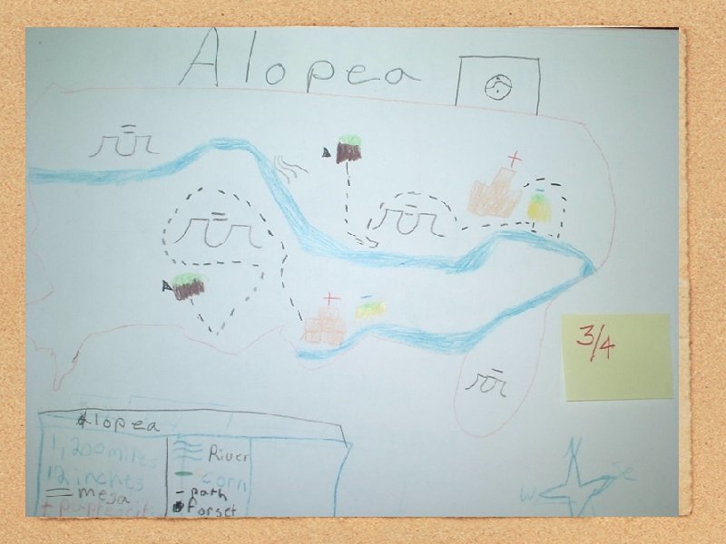
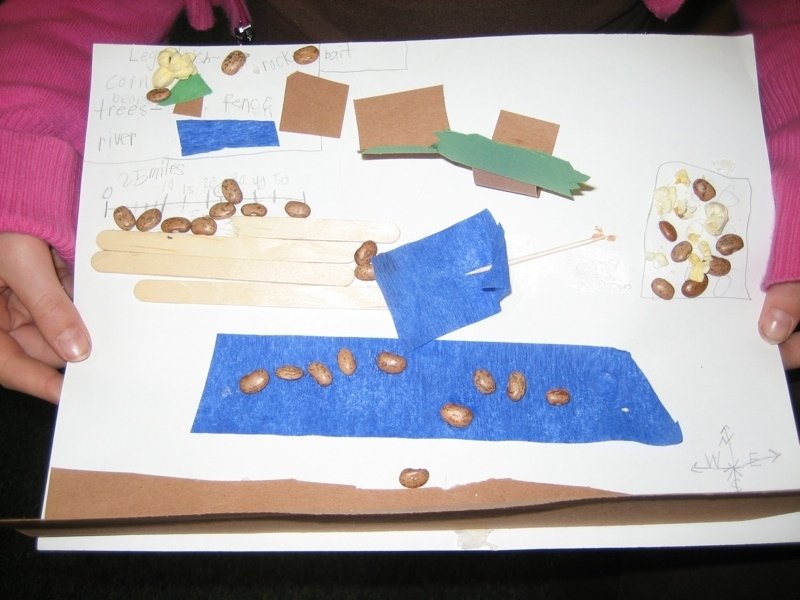
 in a legend or “key”. *")
 miles")


- Slides: 88
Do-It-Yourself Map Project On a clean sheet of paper. .
A classroom idea taken from. . . Walter C. Parker Social Studies In Elementary Educaton Twelfth Edition Pearson Education: Upper Saddle River, NJ Do-It-Yourself Map Project
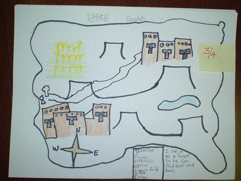
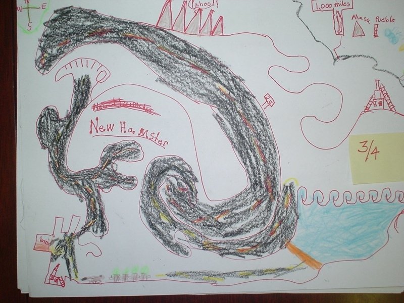
1. Draw an outline map of an imaginary continent. You can make it any shape you wish, but you must include at least one peninsula and one bay. *
Hint: Encourage students to fill up most of the page with their outline. *
continent: One of several large areas of land on Earth, which are identified by convention rather than any strict criteria. The ideal criterion that each continent be a discrete landmass is commonly disregarded in favor of more arbitrary, historical conventions. Of the seven most commonly recognized continents, only Antarctica and Australia are separated from other continents. The division of the landmass of Eurasia into the separate continents of Asia and Europe is an anomaly with no basis in physical geography. The separation is maintained for historical and cultural reasons. An alternative view is that Eurasia is a single continent, one of six continents in total. This view is held by some geographers and is preferred in Russia (which spans Asia and Europe) and Eastern Europe. *
The 7 -continent model (Africa, Australia, Asia, Europe, North America, South America, Antarctica) is usually taught in Western Europe, China, and most native English-speaking countries. The 6 -continent combined-Eurasia model is preferred by the geographic community, Russia, Eastern Europe, and Japan. The 6 -continent combined-America model is taught in Latin America, Iberia, Italy and some other parts of Europe. Oceania or Australasia are sometimes used in place of Australia. For example, the Atlas of Canada lists 7 continents and names Oceania. *
Oceania
peninsula: a geographical formation consisting of an extension of land from a larger body, surrounded by water on three sides bay: A headland is an area of land adjacent to water on three sides. A bay is the reverse, an area of water bordered by land on three sides. Large headlands may also be called peninsulas; long, narrow and high headlands promontories. When headlands dramatically affect the ocean currents they are often called capes. A bay generally occupies an area wider than a fjord but smaller than a sound or gulf, either of which may include one or more bays.
2. Show a scale of miles (or kilometers) in a legend or “key”. *
Hint: consider. . . How large is a continent? 1. 2700 statute (land) miles from Boston to San Francisco 2. About 6000 statue miles from Ural Mountains to the Bering Sea, and from Tunisia in northern Africa to Cape Town in southern Africa. *
a nautical mile: the nautical mile was historically defined as a minute of arc along a meridian of the Earth. It can therefore be used for approximate measures on a meridian as change of latitude on a nautical chart. It is is 6076 feet, or 1. 15 miles. The sea-level surface distance between the Earth's poles is marginally over 180× 60=10800 nautical miles.
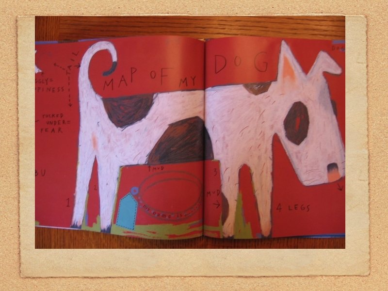
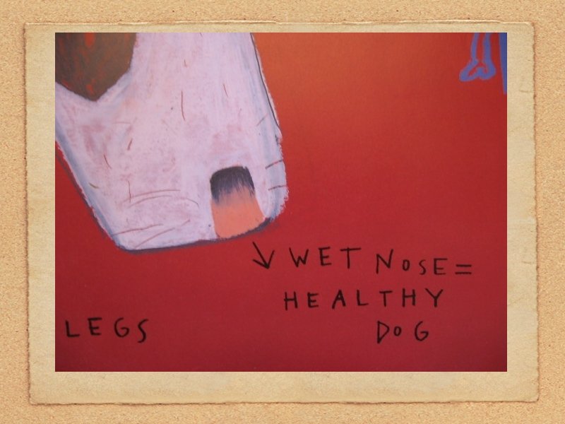
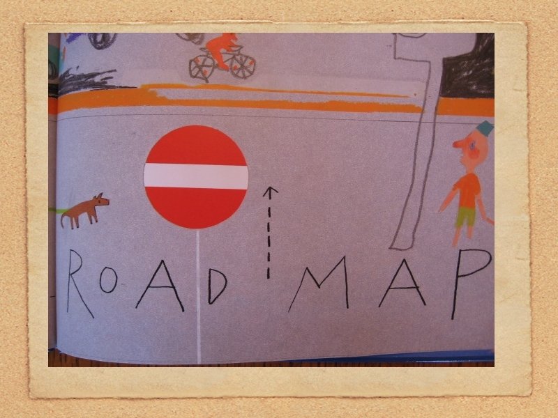
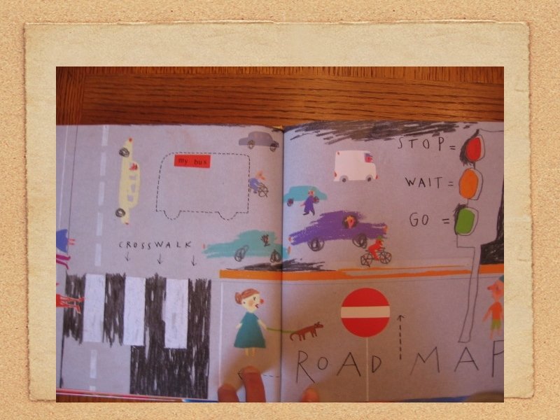
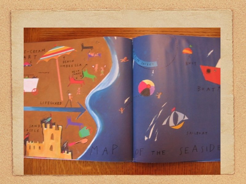
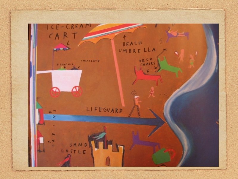
Map Legend or “Key” One of the very important elements of a map is the legend. A map would be useless to you if you wouldn't know the meaning of the various colors and symbols that the mapmaker chose to use. Three types of symbols. Point symbols are for instance the dots or circles which are used to indicate villages and cities. A cross which indicates a church is also a point symbol. Point symbols always indicate the location of an object or a phenomenon. Line symbols, as the name suggests, indicate elements or objects that have a line shape. These can be roads and rivers, but also isolines. Isolines are lines that connect places of equal data-value. On a weather map, for instance, an isotherm joins places of equal temperature; an isobar joins places of equal barometric pressure. Another type of line-symbols are arrows, that can indicate directions of, for instance, migration flows. Plane symbols. Attributes of areas, such as for instance soil types and land-use types, are usually indicated with plane symbols. For plane symbols cartographers use colors (for instance darkgreen to indicate forested areas) or gridpatterns, or a combination of the two.
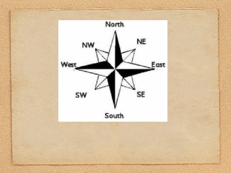
3. Draw east-west and north-south lines on your map. That is, make a compass rose.
A question for you: When does NORTH need to be at the top of the map? How do you explain to students that north does not mean “up” and south mean “down? ”
4 a. Draw a mountain range running east and west across your continent. Include at least one mountain pass.
Topographically, a pass has the general form of a saddle between two mountains (the elevation as a function of two position coordinates is mathematically a saddle point). They are often found just above the source of a river, constituting a sort of "bridge" over to the headwaters of a different river
4 b. Place the symbol you use for your mountain range in your legend.
5. Show a city in the northern half of your continent, and, a city in the southern half. Make each one a seaport. *
Hint: You’ll want students to create a symbol for “city. ” And, they should determine a name for each city.
6. Show a railway joining the two cities. *
Hint: This railway will probably go over the mountain pass. *
You may have to “revisit” the mountain range to make sure it extends across the continent. *
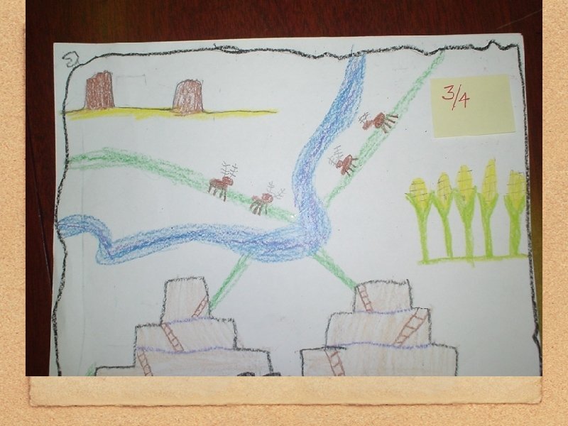
7 a. Show three rivers on your continent; show a lake and a swamp. *
Swamps are generally characterized by very slow-moving waters, often rich in tannins from decaying vegetation. They are usually associated with adjacent rivers or lakes. In some cases, rivers become swamps for a distance. Swamps are features of areas with very low topographic relief, although they may be surrounded by mountains. *
7 b. Place all the symbols you use for cities, rivers, lakes and swamps in the legend.
8 a. Place a third city somewhere on the map where you think a city should be.
8 b. On the bottom of your map tell why you think a city should be where you placed it.
9. Show boundary lines that divide your continent into three large countries and one small country.
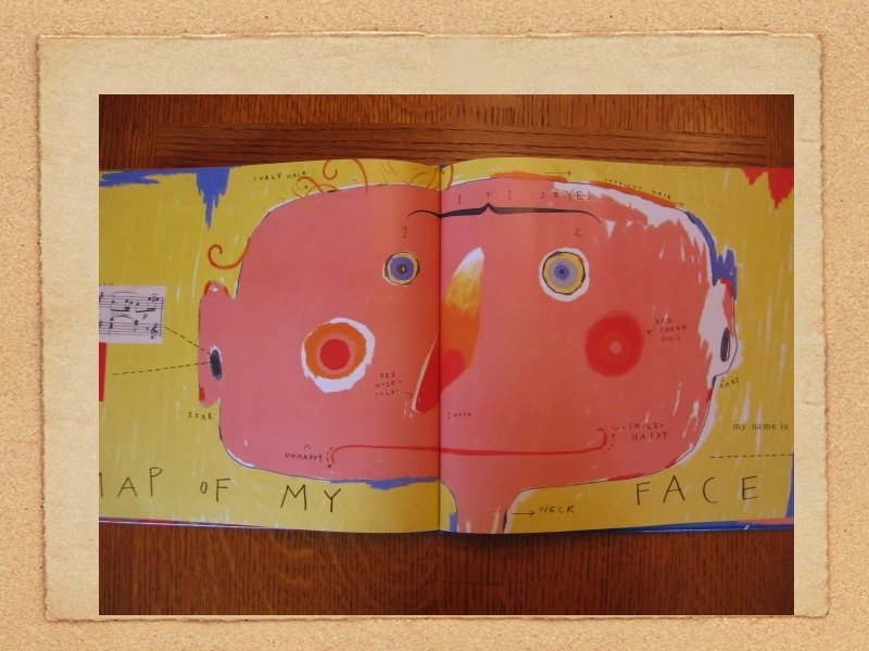
map: noun 1. a visual representation that shows all or part of the Earth’s surface with geographic features, urban areas, roads, and other details 2. a representation of the stars or the surface of a planet, usually in the form of a diagrammatical drawing 3. a diagrammatical drawing of something such as a route or area made to show the location of a place or how to get there map: verb transitive 1. to represent a geographic or other defined area on a map 2. to discover something and create a visual representation of it 3. to determine and record the sequence of encoded information on a gene or chromosome 4. to assign an element in one set to an element in another through a mathematical correspondence Encarta® World English Dictionary © 1999 Microsoft Corporation. All rights reserved. Developed for Microsoft by Bloomsbury Publishing Plc.
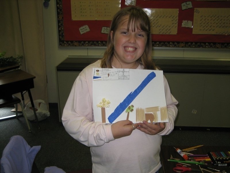
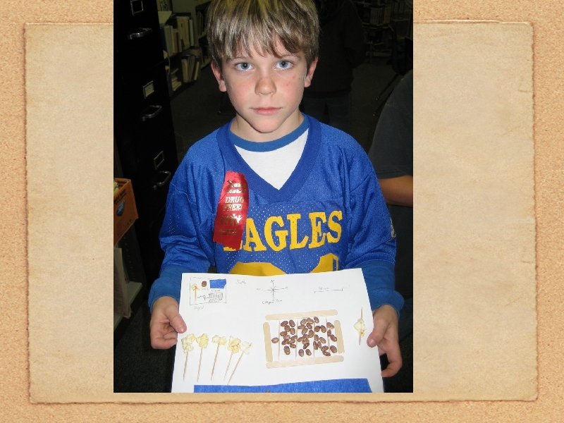
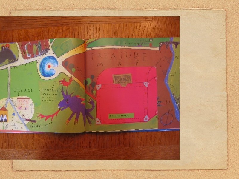
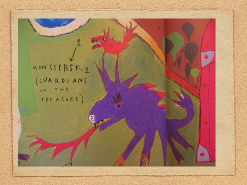
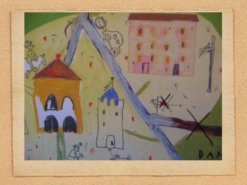
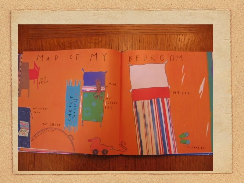
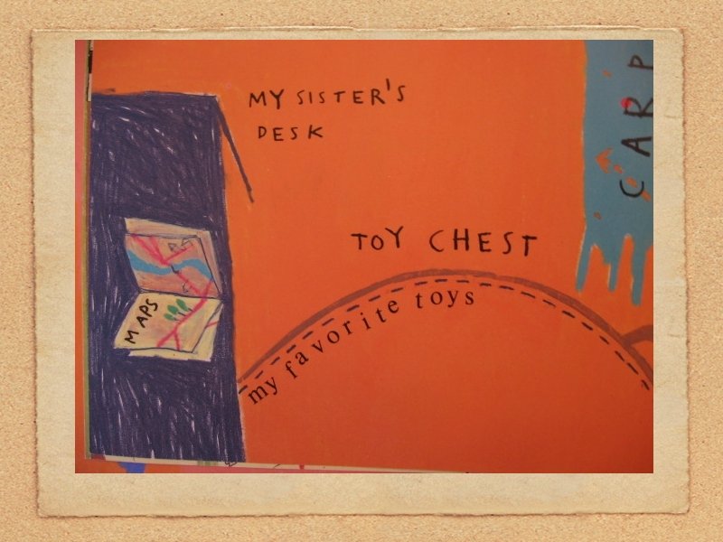
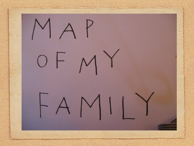
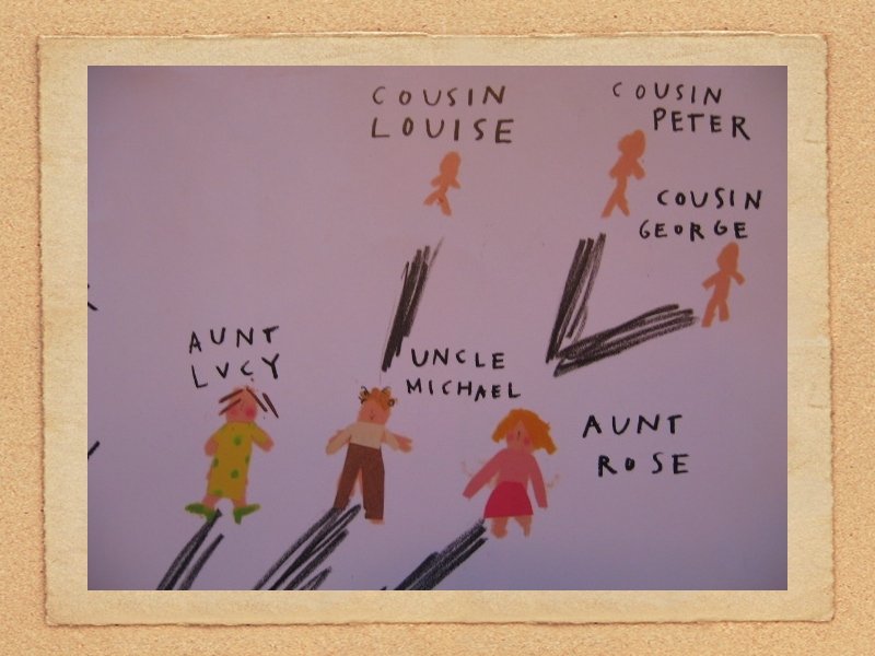
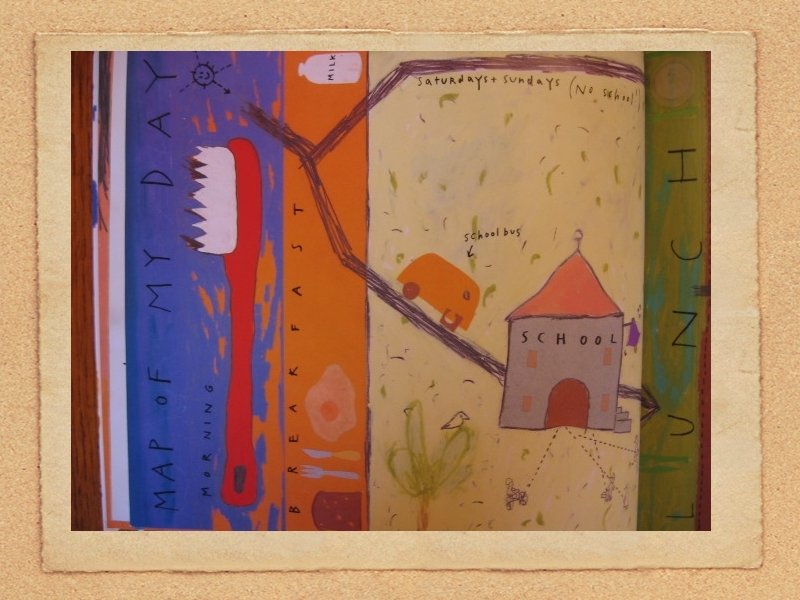
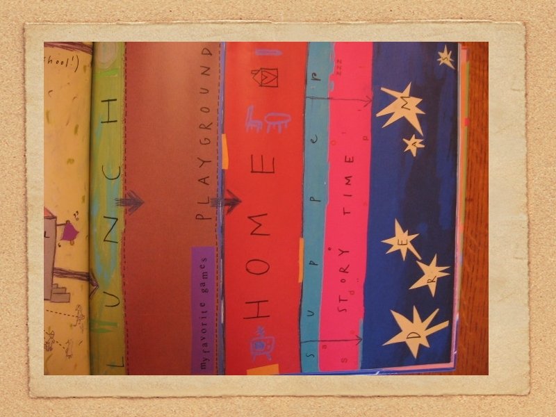
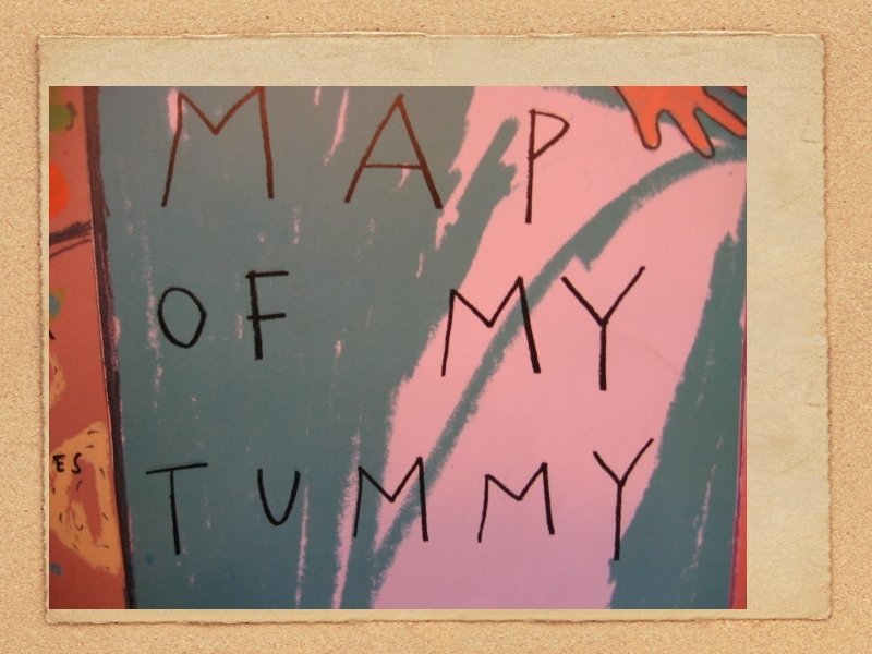
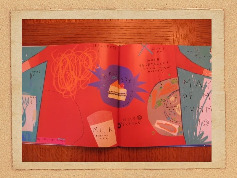
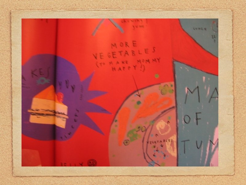
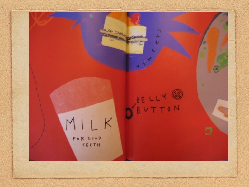
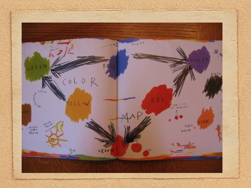
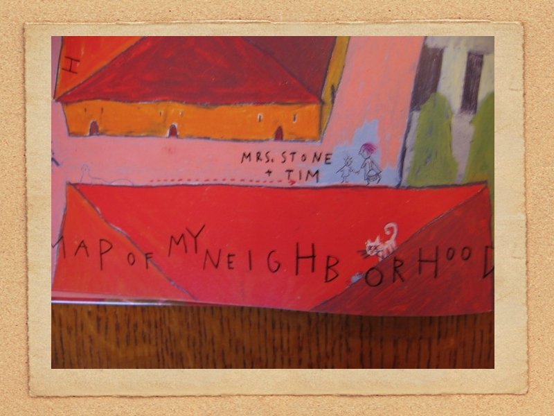
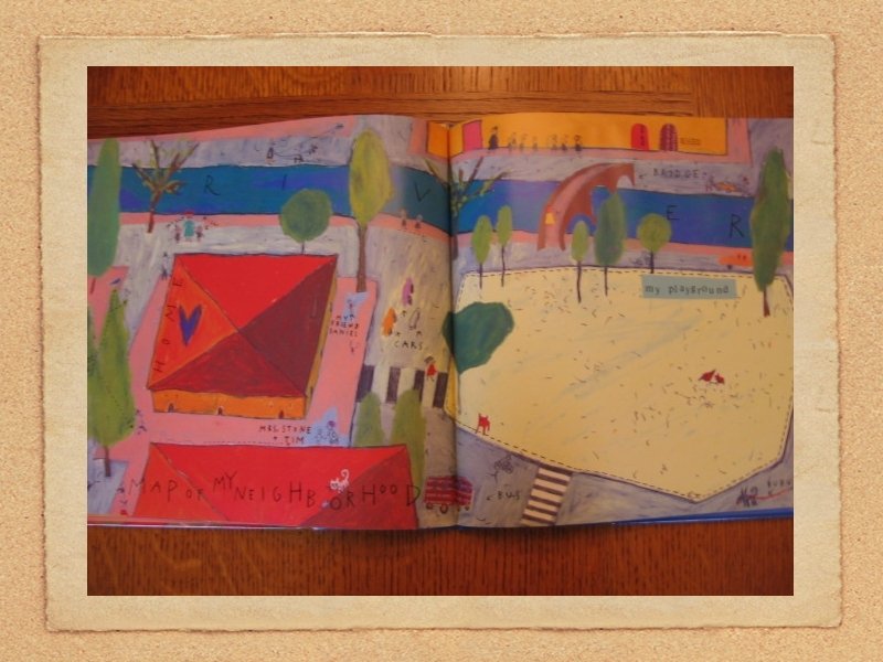
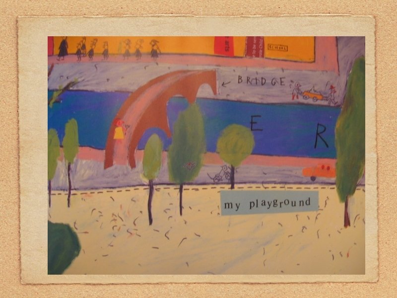
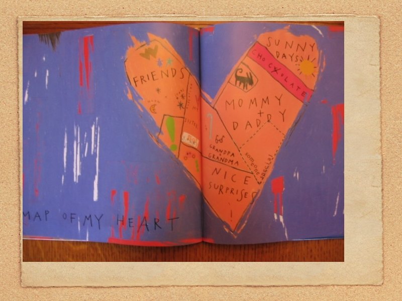
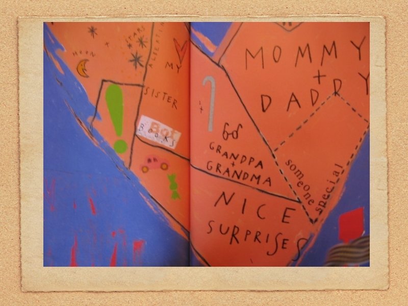
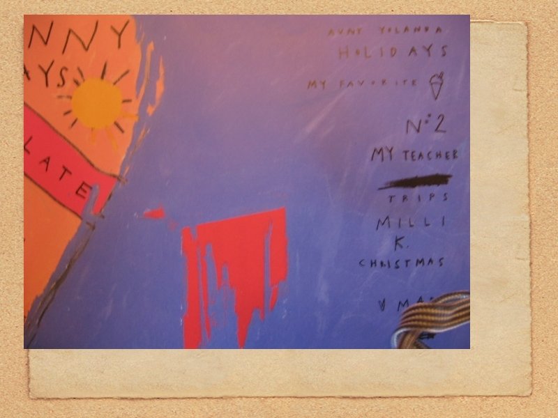
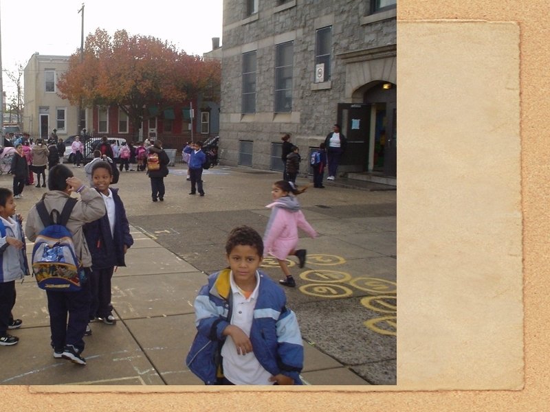
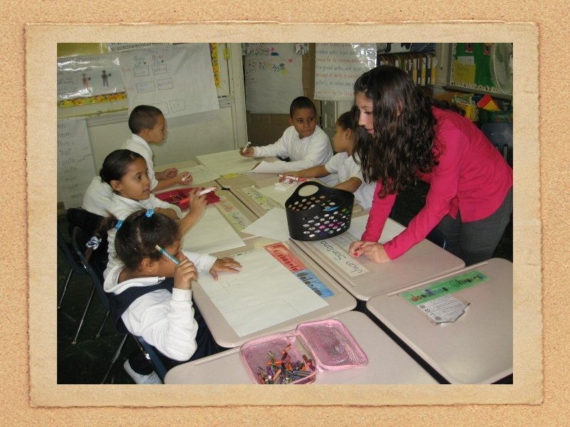
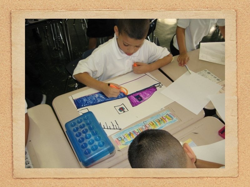
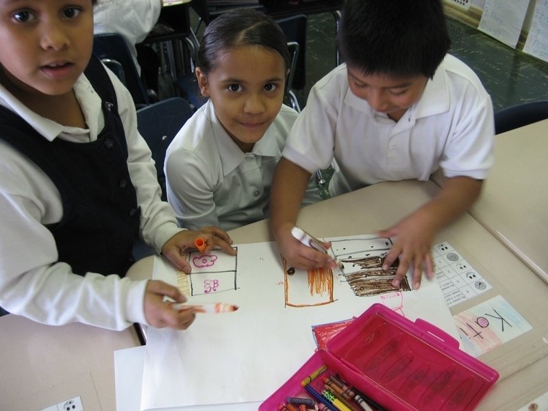
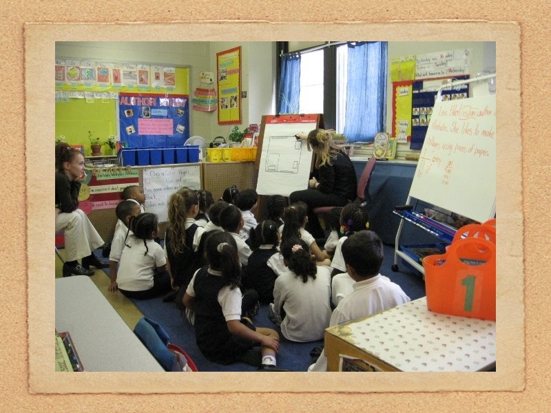
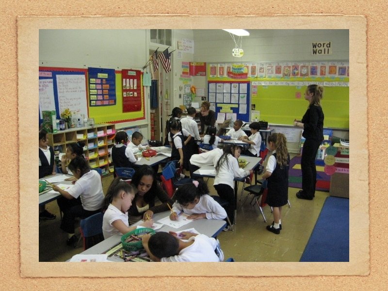
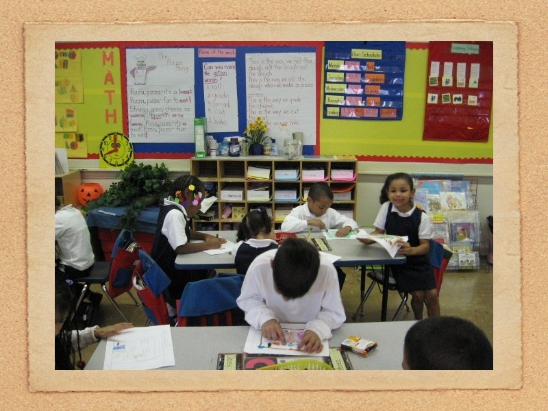
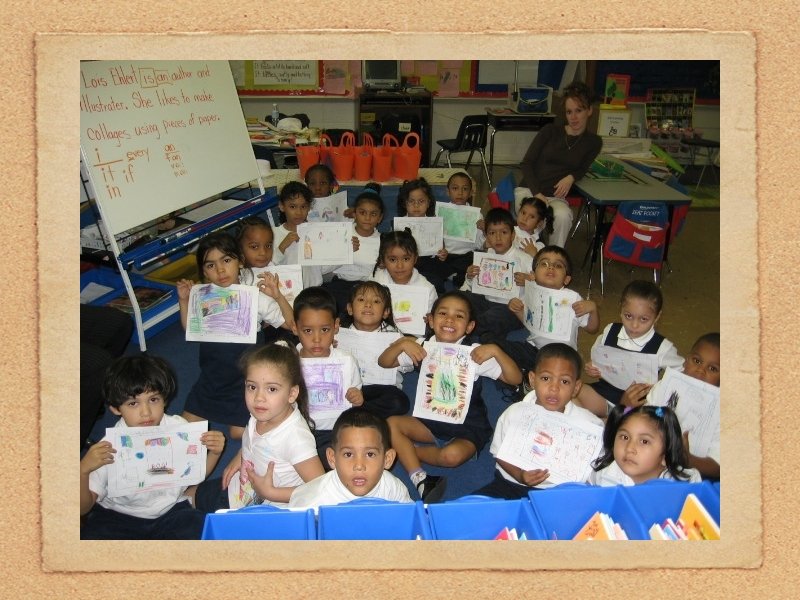
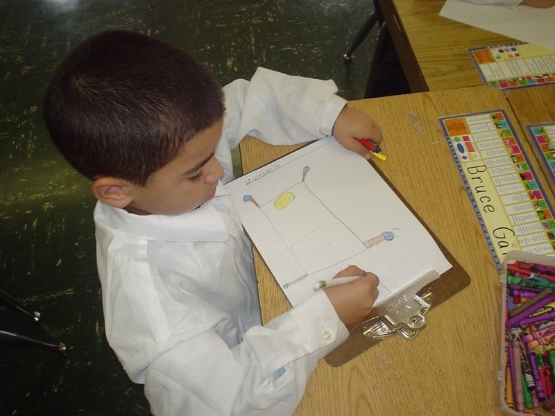
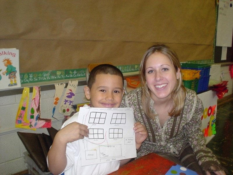
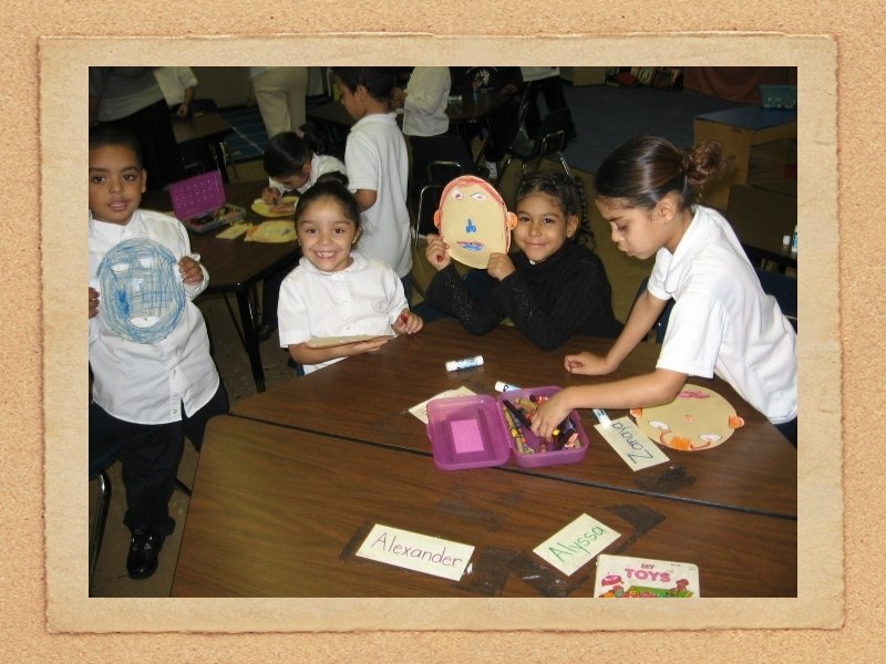
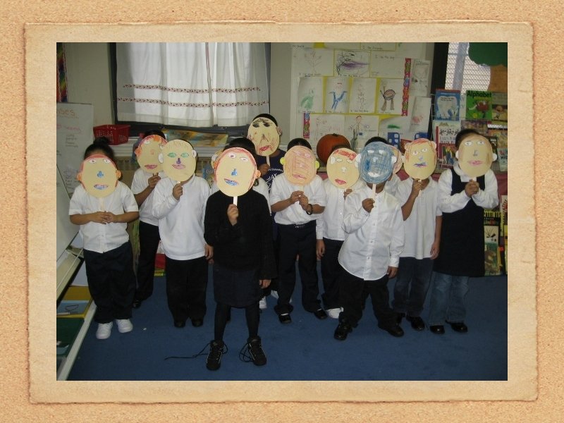
A now for a visit to Isaac Sheppard Elementary School in Philadelphia
Dan Thompson Penn State University NCSS Dec. 2, 2006