
Directions Compass Rose a symbol that shows a
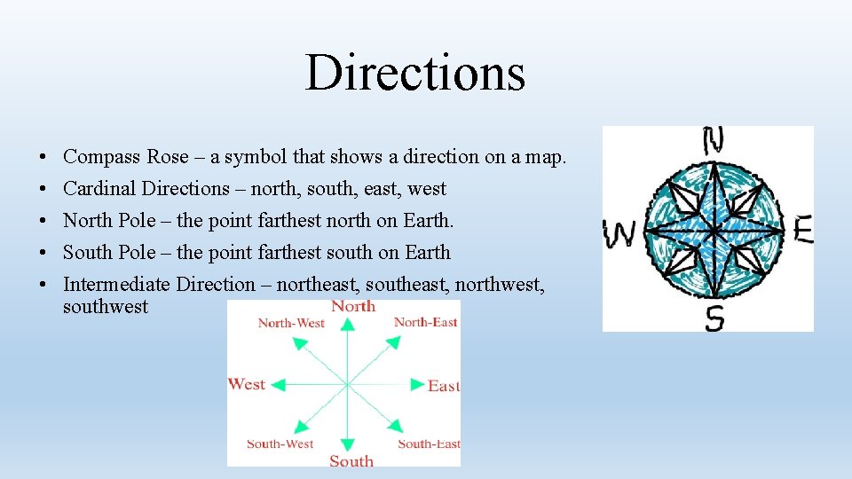
Directions • • • Compass Rose – a symbol that shows a direction on a map. Cardinal Directions – north, south, east, west North Pole – the point farthest north on Earth. South Pole – the point farthest south on Earth Intermediate Direction – northeast, southeast, northwest, southwest
Seven Continents • Africa • Antarctica • Asia • Australia • North America • South America • Europe
Major Oceans • Artic Ocean (4%) • Indian Ocean (20%) • Atlantic Ocean (28%) • Pacific Ocean (48%)
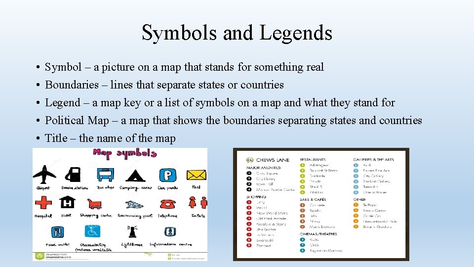
Symbols and Legends • • • Symbol – a picture on a map that stands for something real Boundaries – lines that separate states or countries Legend – a map key or a list of symbols on a map and what they stand for Political Map – a map that shows the boundaries separating states and countries Title – the name of the map
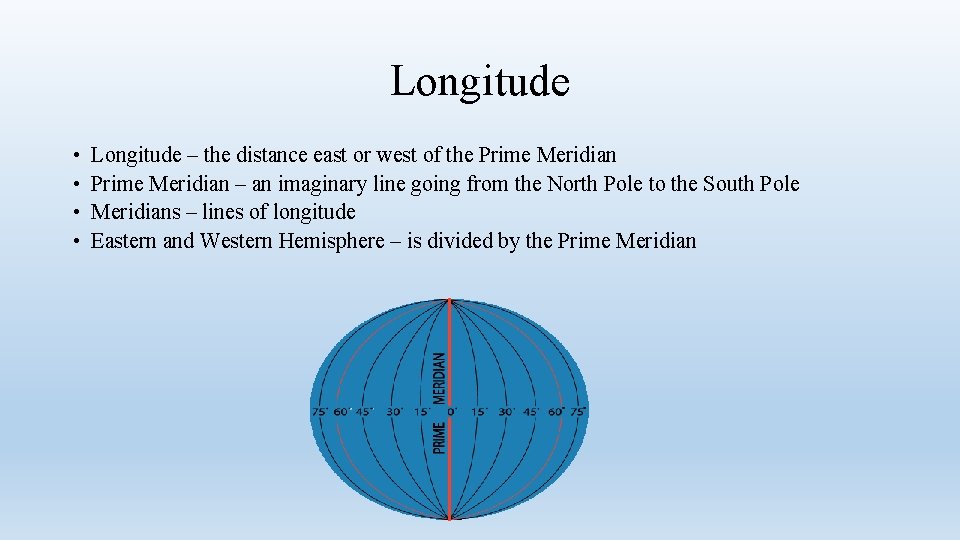
Longitude • • Longitude – the distance east or west of the Prime Meridian – an imaginary line going from the North Pole to the South Pole Meridians – lines of longitude Eastern and Western Hemisphere – is divided by the Prime Meridian
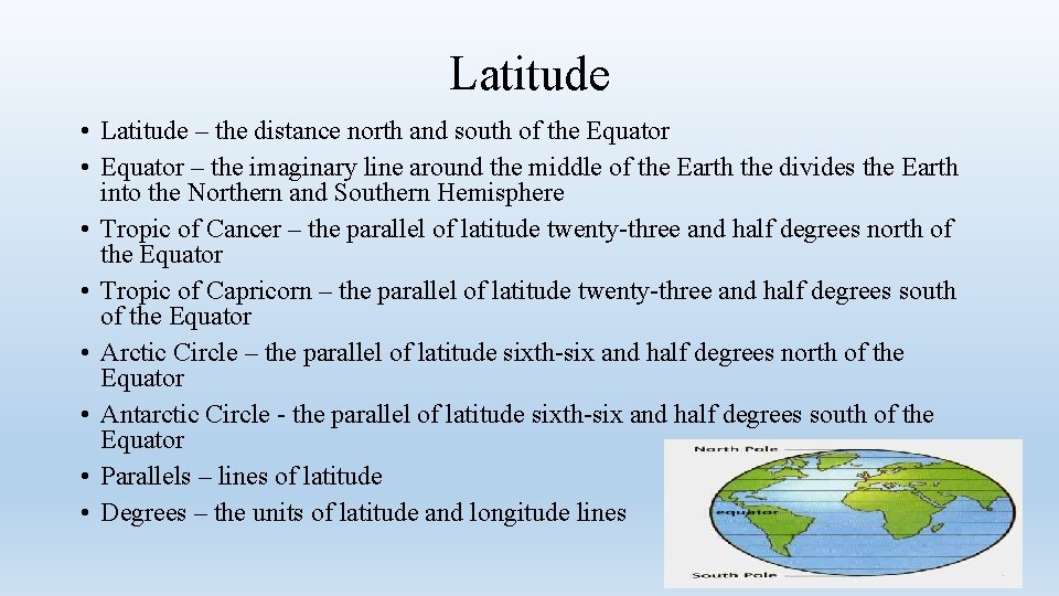
Latitude • Latitude – the distance north and south of the Equator • Equator – the imaginary line around the middle of the Earth the divides the Earth into the Northern and Southern Hemisphere • Tropic of Cancer – the parallel of latitude twenty-three and half degrees north of the Equator • Tropic of Capricorn – the parallel of latitude twenty-three and half degrees south of the Equator • Arctic Circle – the parallel of latitude sixth-six and half degrees north of the Equator • Antarctic Circle - the parallel of latitude sixth-six and half degrees south of the Equator • Parallels – lines of latitude • Degrees – the units of latitude and longitude lines
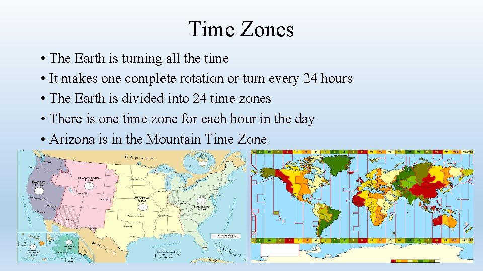
Time Zones • The Earth is turning all the time • It makes one complete rotation or turn every 24 hours • The Earth is divided into 24 time zones • There is one time zone for each hour in the day • Arizona is in the Mountain Time Zone
- Slides: 7