
CS 350 Algorithms for GIS What is GIS


- Slides: 21
CS 350 Algorithms for GIS
What is GIS? Definitions § A powerful set of tools for collecting, storing, retrieving at will, transforming and displaying spatial data from the real world (Burrough, 1986) § A system for capturing, storing, checking, manipulation, analysing and displaying data which are spatially referenced to the Earth (Dept. of Env. 1988) § An information technology which stores, analyses and displays both spatial and non-spatial data (Parker, 1988) 11/24/2020
More Definitions of GIS § A database system in which most of the data are spatially indexed, and upon which a set of procedures operate in order to answer queries about spatial entities in the database (Smith et al 1987) § A decision support system involving the integration of spatially referenced data in a problem solving environment (Cowen 1988) § Any computer based set of procedures used to store and manipulate geographically referenced data (Aronoff 1989)
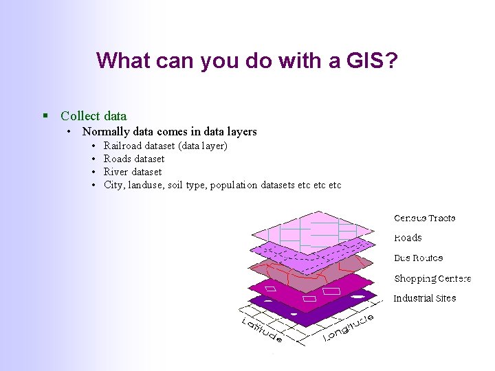
What can you do with a GIS? § Collect data • Normally data comes in data layers • • Railroad dataset (data layer) Roads dataset River dataset City, landuse, soil type, population datasets etc etc
What can you do with a GIS? § Visualization • • Display maps Zoom in/out, scroll Turn layers on /off …
What can you do with a GIS? § Data analysis • Every object has attributes and location and is is kept in a database • Can ask standard database queries • List all cities with poulation >2 M • Also spatial queries • • Find all areas where poverty level is > 30? Find all sites in this test area Find the intersections of rivers and roads (bridges) Find the nearest neighbor of this site Find the optimal route for this truck that has to visit all these sites Find the neighbors of this entity Count the number of occurences of entity type A within distance D of entity type B
GIS and the Environment Indispensable tool • Monitoring: • keep an eye on the state of earth systems using satellites and monitoring stations (water, pollution, ecosystems, urban development, …) • Modeling and simulation: • predict consequences of human actions and natural processes • Analysis and risk assessment: • find the problem areas and analyse the possible causes (soil erosion, groundwater pollution, . . ) • Planning and decision support: • provide information and tools for better management of resources
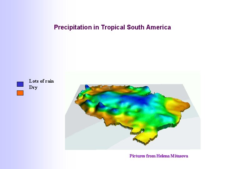
Precipitation in Tropical South America Lots of rain Dry Pictures from Helena Mitasova
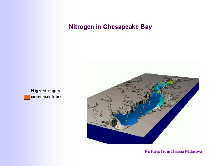
Nitrogen in Chesapeake Bay High nitrogen concentrations Pictures from Helena Mitasova
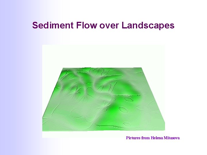
Sediment Flow over Landscapes Pictures from Helena Mitasova
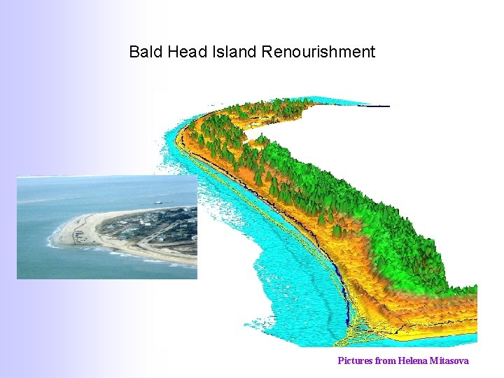
Bald Head Island Renourishment Pictures from Helena Mitasova
Applications of GIS § GIS emerged as a powerful tool for Environmental Sciences § As spatial data becomes more and more available, GIS is widely used in many disciplines • • • Agriculture Archaeology Epidemiology and health Forestry Emergency services Navigation Marketing Real estate Regional/local planning Social studies Tourism Utilities
Geographical Data § Types of data available • • Topographic maps Satellite images and photographs Administrative data Census data Statistical data on people, land cover and land use at a wide range of levels Data from marketing surveys Data on utilities (gas, water, electricity) and their locations Data on rocks, water, soil, atmosphere, biological activity, natural disaster and hazards collected for a wide range of spatial and temporal resolutions
Sources/Producers of Data § National Mapping Agencies; private mapping companies • De. Lorme http: //www. delorme. com/professional/xmap/datasets. asp § § § Land registration and Cadastre Military organizations Hydrographic mapping Remote sensing companies and satellite agencies Natural resource surveys • Geologists, hydrologists, physical geographers • Land evaluators, ecologists, meteorelogists • Oceanographers
GIS Software § Arc. Info (ESRI) • Arc. View, Arc. IMS, Arc. Explorer, Map. Objects, Arc. Logistics, Arc. CAD, Net. Engine … § § § Inter. Graph Map. Info Spatial DBMS (Oracle, Sybase, Microsoft SQL …) GRASS (Open Source GIS) Customized software used by companies • De. Lorme http: //www. delorme. com/professional/ • GDT … § Research groups at universities
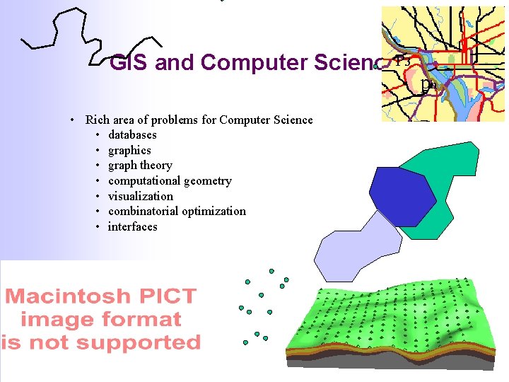
GIS and Computer Science. P 3 • Rich area of problems for Computer Science • databases • graphics • graph theory • computational geometry • visualization • combinatorial optimization • interfaces pn
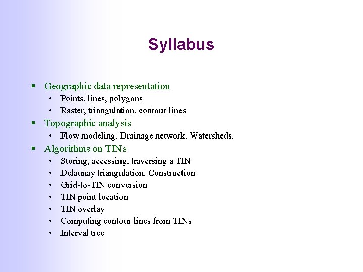
Syllabus § Geographic data representation • Points, lines, polygons • Raster, triangulation, contour lines § Topographic analysis • Flow modeling. Drainage network. Watersheds. § Algorithms on TINs • • Storing, accessing, traversing a TIN Delaunay triangulation. Construction Grid-to-TIN conversion TIN point location TIN overlay Computing contour lines from TINs Interval tree
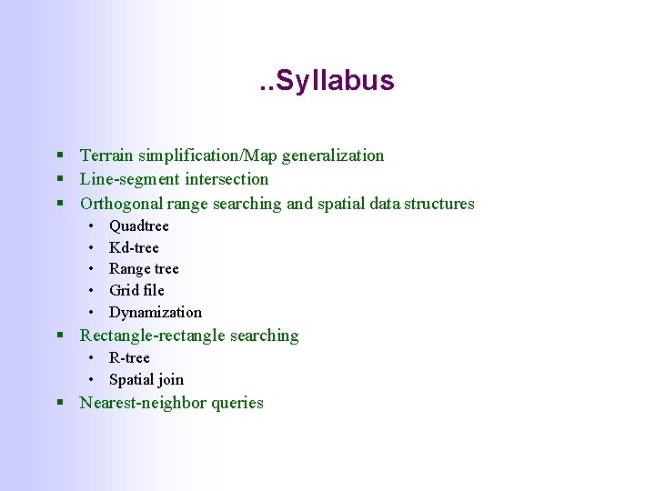
. . Syllabus § Terrain simplification/Map generalization § Line-segment intersection § Orthogonal range searching and spatial data structures • • • Quadtree Kd-tree Range tree Grid file Dynamization § Rectangle-rectangle searching • R-tree • Spatial join § Nearest-neighbor queries
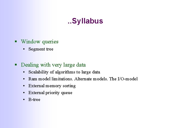
. . Syllabus § Window queries • Segment tree § Dealing with very large data • • • Scalability of algorithms to large data Ram model limitations. Alternate models. The I/O-model External memory sorting External priority queue B-tree