
Conversion of CPC Monitoring and Forecast Products to
- Slides: 19
Conversion of CPC Monitoring and Forecast Products to GIS Format Viviane Silva Lloyd Thomas, Mike Halpert and Wayne Higgins
OUTLINE • Status of CPC GIS conversion • CPC and NIDIS collaboration on GIS • GIS and Gr. ADS
Motivation • The user communities that are adept at using GIS data would like to include CPC products in their applications. • Geographic Information System (GIS) format requests are increasing. • GIS products have interoperability and thus broad applications capabilities
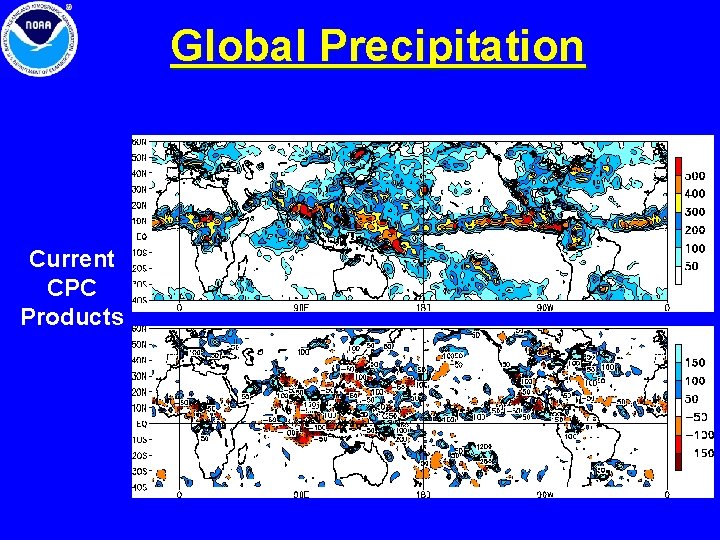
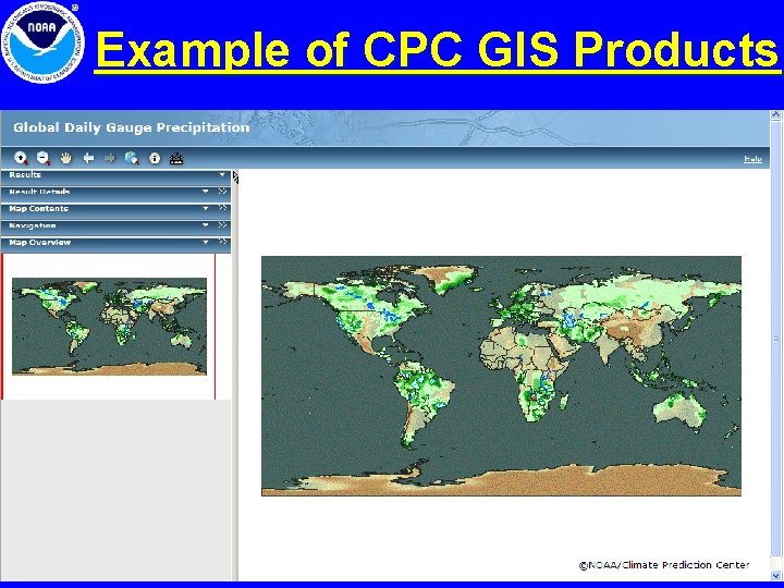
Global Precipitation Current CPC Products
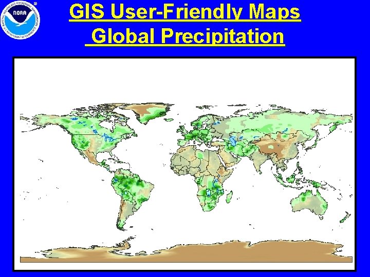
GIS User-Friendly Maps Global Precipitation
CPC FY 08 GIS Milestones • Convert selected CPC data to GIS format: (Shapefile and Geo. Tiff) - Daily Temperature Analyses (United States) - Sea Surface Temperature (Global) - US temperature and precipitation outlooks • Products will be displayed on the web by end of FY 08
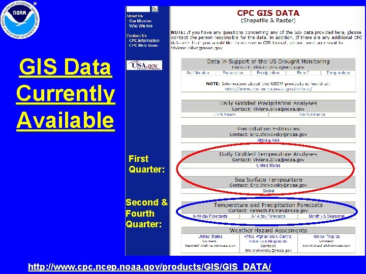
GIS Data Currently Available First Quarter: Second & Fourth Quarter: http: //www. cpc. ncep. noaa. gov/products/GIS_DATA/
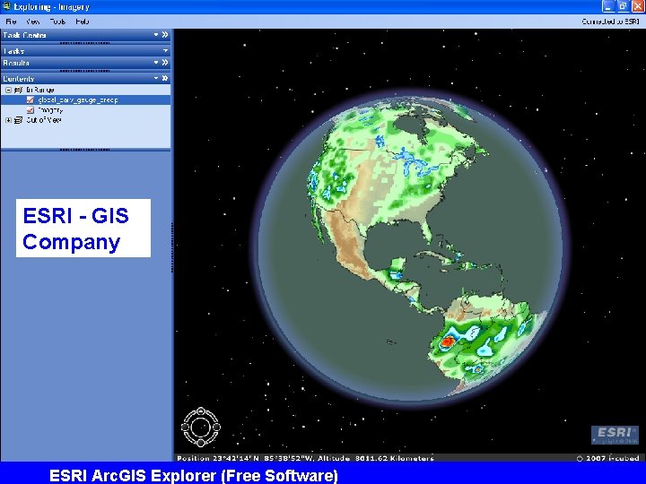
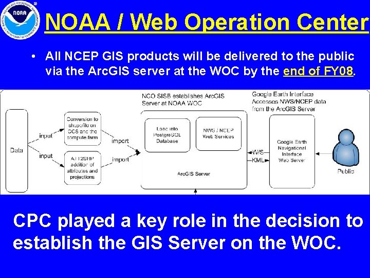
Arc. GIS Server • The CPC has acquired a copy of the Arc. GIS Server Enterprise for Linux • This software allows processing, extraction and display of GIS geo-referenced datasets including • • Shapefiles ESRI layers Raster datasets (geo. TIFF) Other formats using world files • The server also allows distribution of metadata
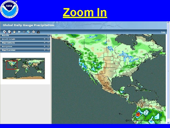
Example of CPC GIS Products
Zoom In
ESRI - GIS Company ESRI Arc. GIS Explorer (Free Software)
NOAA / Web Operation Center • All NCEP GIS products will be delivered to the public via the Arc. GIS server at the WOC by the end of FY 08. CPC played a key role in the decision to establish the GIS Server on the WOC.
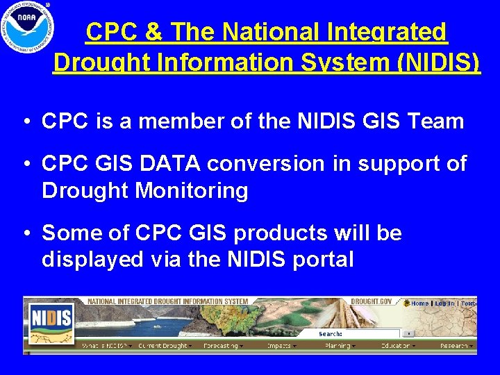
CPC & The National Integrated Drought Information System (NIDIS) • CPC is a member of the NIDIS GIS Team • CPC GIS DATA conversion in support of Drought Monitoring • Some of CPC GIS products will be displayed via the NIDIS portal
Facilitating the Transition of CPC Products to GIS Format • The Grid Analysis and Display System (Gr. ADS, http: //iges. org/grads) is widely used around the world by the climate community including at CPC • Gr. ADS developed, maintained, and supported by the Center for Ocean-Land-Atmosphere Studies (COLA) • Gr. ADS is the core software used to generate vast majority of CPC’s web products distributed to the public
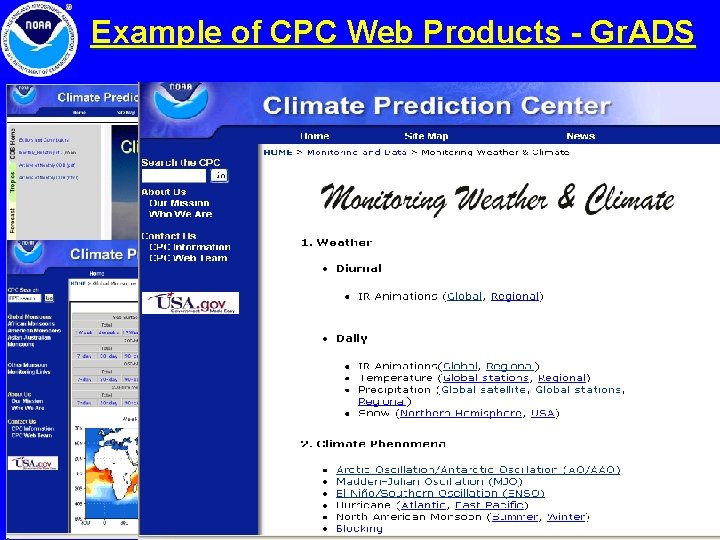
Example of CPC Web Products - Gr. ADS
Enhancements to Gr. ADS CPC / COLA GIS Proposal Anticipated FUNDING for FY 08 • Gr. ADS will be enhanced by adding GIS vector and raster formats as output options • Gr. ADS scripts used for product generation at CPC will be modified to produce output in GIS format in addition to the native grids and graphical formats already produced
Beneficiaries of the Enhancement to Gr. ADS GIS Developers and users of the CPC climate product suite, and the broader climate research and applications communities. • Gr. ADS enhancement will have a huge impact within NOAA and the wider community of Gr. ADS users interested in NOAA data products
If there is any CPC data that you would like to receive in GIS format, please send an e-mail to: Viviane. Silva@noaa. gov
CPC Webpage http: //www. cpc. ncep. noaa. gov Backup page: http: //www. cpc. noaa. gov