CONTINENTAL DRIFT SEAFLOOR SPREADING MAGNETIC REVERSALS CONTINENTAL DRIFT


- Slides: 10

CONTINENTAL DRIFT, SEAFLOOR SPREADING & MAGNETIC REVERSALS

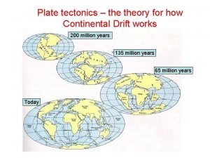
CONTINENTAL DRIFT • Hypothesis proposed by Alfred Wegener, a German Scientist, in 1912 • A theory that at one time all the continents were joined as one supercontinent called Pangaea (Greek word meaning “all the earth”), and over time have been drifting apart. Continental Drift gave an explanation to finding similar organisms, rock types and past glacial activity on several different continents – in Wegener’s time and today. • Wegener thought the continents were pushing through a stationary ocean floor but he couldn’t prove it, so many people rejected his theory.

WEGENER’S EVIDENCE OF CONTINENTA L DRIFT

FROM PANGAEA TO TODAY THEN NOW

PANGAEA

TECHNOLOGICAL ADVANCES • In the early 1900 s most people, including scientists, believed that the ocean floor was flat. Advances in technology in the 1940 s and 1950 s proved this theory to be wrong. • Sonar, (originally an acronym for SOund Navigation And Ranging), is a type of echo sounding device that uses sound waves to measure water depth. It is one advance that allowed scientists to study the ocean floor in detail. • Another advance was the magnetometer, a device that can detect small changes in magnetic fields. This is a great tool because the ocean crust has a lot of iron in it. • This is important because of Magnetic Reversals. *You will read more about this later.

• Maps were made using sonar and magnetometer data and showed scientists that the ocean floor had different landforms like they saw on Earth’s surface. • Topographic maps were made from sonar and magnetometer data that helped to discover vast, underwater mountain chains called mid-ocean ridges, and underwater ditches called deep-sea trenches. • The longest mountain chain in the world is the Mid-Atlantic Ridge, found in the Atlantic Ocean. • The deepest trench is the Marianas Trench, found in the Pacific Ocean.

• Scientists found that rock samples taken from areas near ocean ridges were younger than samples taken from areas near deep-sea trenches. This was indicated on their maps using lines called isochrons, or lines on a map that connect points (of sediments) that have the same age.

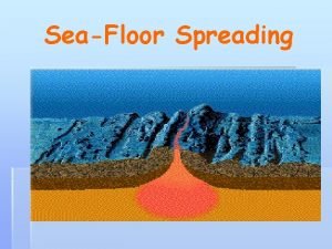
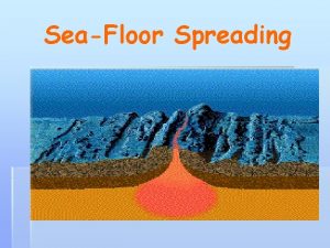
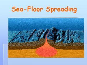
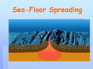
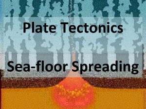
SEAFLOOR SPREADING • Using sonar, topographic and age information from the new technology, American Scientist Harry Hess proposed Seafloor Spreading in the mid-1900 s. • His theory states that new ocean crust is formed at ocean ridges and destroyed at deep-sea trenches. **Note: Seafloor Spreading was the missing link needed by Wegener to complete his model of Continental Drift.

DIAGRAM SHOWING SEAFLOOR SPREADING • (A) Yellow is new (seafloor ) crust created at the ocean ridge (where magma breaks through the ocean floor) • (B) Red is new crust; older crust (yellow) has been moved away • (C) Yellow is new crust; older crust continues to move away from the ocean ridge

