
Company Profile PT Redbit Teknologi Indonesia Conclave Simatupang
Company Profile PT Redbit Teknologi Indonesia Conclave Simatupang Cilandak Commercial Estate 410 Jln. Raya Cilandak Jakarta Selatan 12430 2020
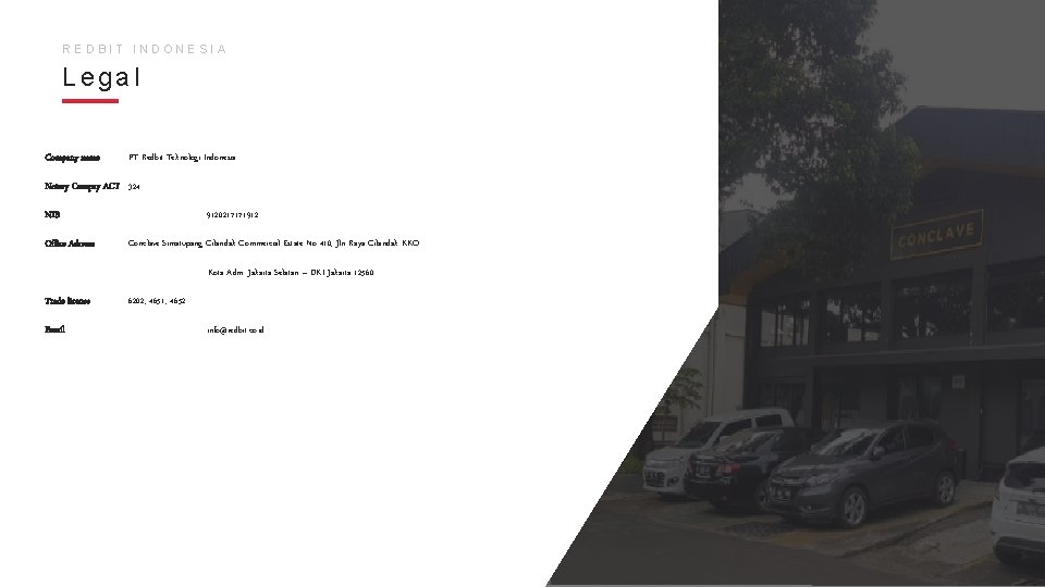
REDBIT INDONESIA Legal Company name : PT Redbit Teknologi Indonesia Notary Compay ACT : 324 NIB Office Adrress : 9120217171912 : Conclave Simatupang Cilandak Commercial Estate No 410, Jln Raya Cilandak KKO Kota Adm. Jakarta Selatan – DKI Jakarta 12560 Trade license Email : 6202, 4651, 4652 : info@redbit. co. id
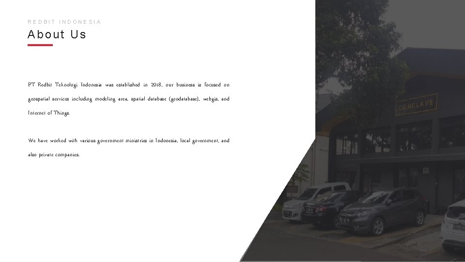
REDBIT INDONESIA About Us PT Redbit Teknologi Indonesia was established in 2018, our business is focused on geospatial services including modeling area, spatial database (geodatabase), webgis, and Internet of Things. We have worked with various government ministries in Indonesia, local government, and also private companies.
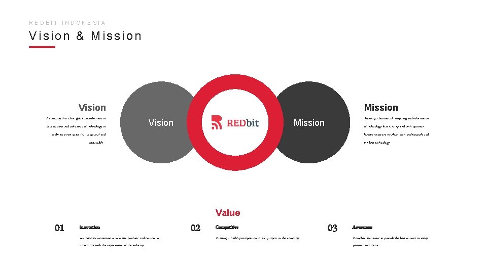
REDBIT INDONESIA Vision & Mission Vision A company that takes global consideration in development and utilization of technology in Mission Vision Running a business of mapping and information Mission of technology that is integrated with optimize order to create space that is optimal and human resources in which both professionals and sustainable the best technology Value 01 Innovation our business innovation is to create products and services in accordance with the requirement of the industry 02 Competitive Creating a healthy competition in every aspect in the company. 03 Awareness Complete awareness to provide the best services to every partners and clients
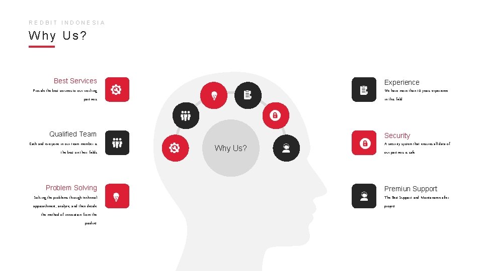
REDBIT INDONESIA Why Us? Best Services Experience Provide the best services to our working We have more than 10 years experience partners in this field Qualified Team Each and everyone in our team member is the best on their fields. Problem Solving Security Why Us? A security system that ensures all data of our partners is safe Premiun Support Solving the problems through technical The Best Support and Maintanance after approachment, analyze, and then decide project. the method of innovation from the product
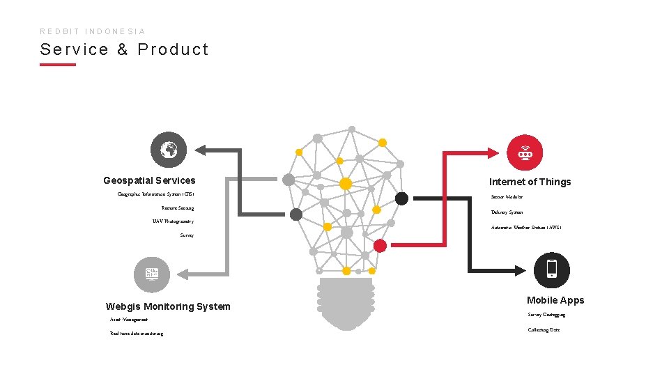
REDBIT INDONESIA Service & Product Geospatial Services Internet of Things Geographic Information System (GIS) Sensor Modular Remote Sensing Delivery System UAV Photogrametry Automatic Weather Station (AWS) Survey 0 Webgis Monitoring System Asset Management Real time data monitoring Mobile Apps Survey Geotagging Collecting Data
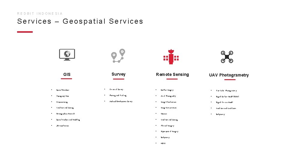
REDBIT INDONESIA Services – Geospatial Services Survey GIS Remote Sensing UAV Photogrametry • Spatial Database • Terrestrial Survey • Satellite Imagery • True Color Photogrametry • Topograpy Map • Plotting and Tracking • Aerial Photography • Digital Surface Model (DSM) • Geoprocessing • Android Development Survey • Image Classification • Digital Terrain Model • Land Use and Zoning • Image Interpretation • Land Use and Land Cover • Demographics Research • Mosaics • Bathymetry • Spatial Analysis and Modeling • Land Use and Zoning • 3 D visualization • Thermal Imagery • Hyperspectral Imagery • Bathymetry • NDVI
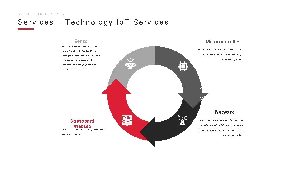
Io. T (internet of things) merupakan suatu REDBIT INDONESIA Services – Technology Io. T Services objek yang dapat mentransfer sebuah data tanpa campur tangan manusia secara realtime, hal yang terpenting dari Io. T yaitu Sensor An instrument that detect the environment changes that will develop data. There are several type of sensors based on function, such as : temperature, air pressure, humidity, coordinates, smoke, rain gauge, wind speed, motion, air and water quality. Microcontroller lokasi (where factors). Microcontroller or we can call mini computer is a chip Redbit Indonesia memiliki beberapa produk that serves as the controller electronic and mostly it can keep the program on it. terkait pemanfaatan teknologi Internet of Things (Io. T) yaitu pendataan data cuaca (AWS) dan pencemaran lingkungan. Seluruh data divisualisasikan melalui Web. GIS secara real-time dengan beberapa fitur tambahan seperti sistem Network Dashboard Web. GIS Web-based application that featuring all the data from the sensors in real time. peringatan dini, analisis ambang batas, The difference in internet connectivity from one region to another is to make us look for wilayah, alternative ways to data analytic & permodelan connect the device with user, such as Bluetooth, LAN, predictive. Wifi, 3 G GPRS Satallite. .
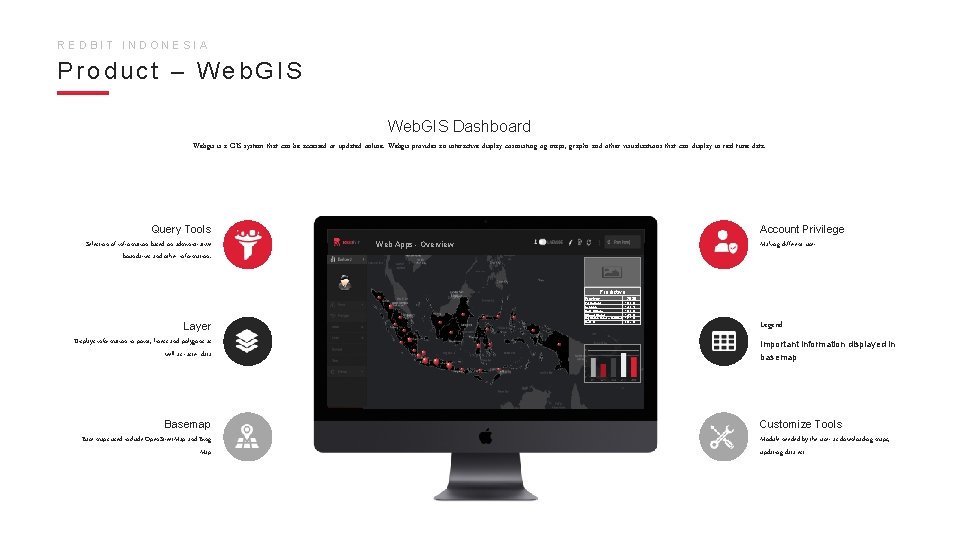
REDBIT INDONESIA Product – Web. GIS Dashboard Webgis is a GIS system that can be accessed or updated online. Webgis provides an interactive display cosnsisting og maps, graphs and other visualizations that can display in real-time data. Query Tools Selection of infromation based on administrative boundaries and other information. Account Privilege Making different user Web Apps - Overview Predictive Province Layer Displays information in point, liness and polygons as well as raster data Basemap Base maps used include Open. Street. Map and Bing Map Papua Barat Gorontalo Maluku Utara Sulawesi Barat Kepulauan Bangka Belitung Maluku 2030 1305. 00 1430. 10 1603. 60 1763. 30 1911. 00 2227. 80 Legend Important information displayed in basemap Customize Tools Module needed by the user as downloading maps, updating data ect
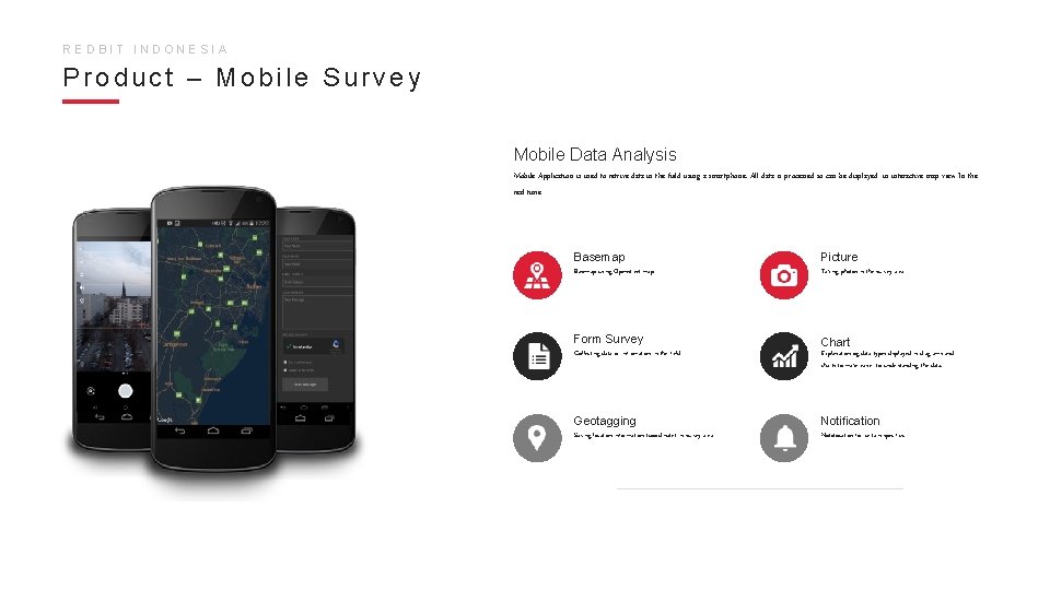
REDBIT INDONESIA Product – Mobile Survey Mobile Data Analysis Mobile Application is used to retrive data in the field using a smartphone. All data is processed so can be displayed in interactive map view In the real-time Basemap Picture Basemap using Openstreet map Taking photos in the survey area Form Survey Chart Collecting data or infromation in the field Explanation og data types displayed in diagrams and charts to make easier to understanding the data. Geotagging Notification Saving location information (coordinate) in survey area Notofocation for certain specifics.
REDBIT INDONESIA We Trushted by
REDBIT INDONESIA Contact Us Conclave Simatupang Cilandak Commercial Estate 410 Jln. Raya Cilandak Jakarta Selatan 12560 Get In Touch ✉ info@redbit. co. id We are here to help you �� 021 311 6123 Working days 8 am to 5 pm
- Slides: 12