Colorado Hazard Mapping Phase III Program Overview June


- Slides: 18
Colorado Hazard Mapping Phase III Program Overview June 27, 2017
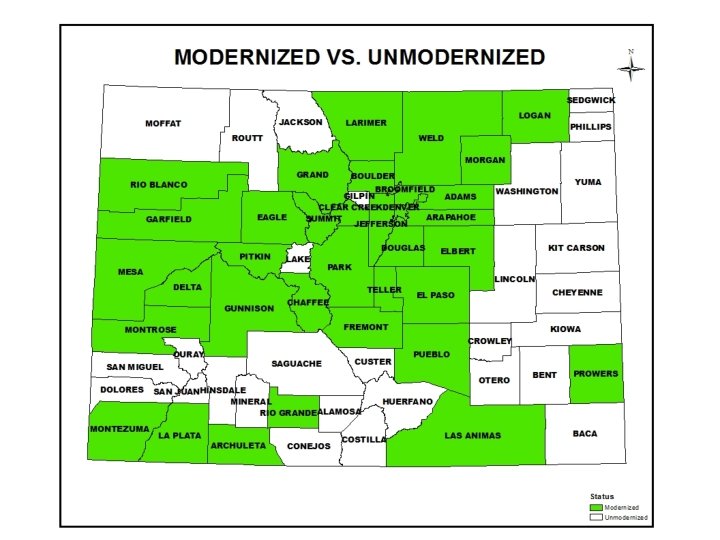
Introduction • Introductions • Colorado Senate Bill 245 – Provide funding to map natural hazards in CO • Floodplain mapping/modernize remaining counties • Erosion Hazard Zones • Debris Flow mapping – $6. 8 million total – Multi-year program – Phase I, II & III currently underway
Scope of Work Phase III Estimated Totals: Surveyed structures: 220 Surveyed cross-sections: 82 Miles of enhanced hydraulic study: 104 Miles of base hydraulic study: 887
Scope of Work Bent County Estimated Totals: Surveyed structures: 3 Surveyed cross-sections: 11 Miles of enhanced hydraulic study: 9. 5 Miles of base hydraulic study: 162. 3
Scope of Work Costilla County Estimated Totals: Surveyed structures: 17 Surveyed cross-sections: 0 Miles of enhanced hydraulic study: 2. 9 Miles of base hydraulic study: 120. 8
Scope of Work Lincoln County Estimated Totals: Surveyed structures: 34 Surveyed cross-sections: 4 Miles of enhanced hydraulic study: 8. 7 Miles of base hydraulic study: 0. 0
Scope of Work Otero County Estimated Totals: Surveyed structures: 32 Surveyed cross-sections: 25 Miles of enhanced hydraulic study: 31. 3 Miles of base hydraulic study: 73. 6
Scope of Work Otero County Estimated Totals: Surveyed structures: 32 Surveyed cross-sections: 25 Miles of enhanced hydraulic study: 31. 3 Miles of base hydraulic study: 73. 6
Scope of Work Phillips County Estimated Totals: Surveyed structures: 14 Surveyed cross-sections: 5 Miles of enhanced hydraulic study: 4. 3 Miles of base hydraulic study: 0. 0
Scope of Work Saguache County Estimated Totals: Surveyed structures: 0 Surveyed cross-sections: 0 Miles of enhanced hydraulic study: 0 Miles of base hydraulic study: 8. 4
Best Available Information • BAI is existing FIRM, FIS, FHBM/FW Map OR draft or prelim info supplied by FEMA or other source • Must follow FEMA technical standards and accuracy • Tool to reduce community flood risk – Use in community planning, engineering, development review, permitting and emergency management functions – First check local codes and ordinances to see how it can be used (may need to be adopted) – Can be used to submit LOMA and LOMR-Fs. FEMA will determine accuracy determine eligibility – GIS data will be made available
State Strategy & Implementation • Outreach – Quarterly Meetings or Quarterly Newsletters – Dedicated Website – Review Meeting • Public Outreach Assistance – Press Release – Public Meetings – Templates • Not Regulatory Map – Not part of this scope – No Due process and appeal period-FEMA Map update
Communication and Outreach http: //www. coloradohazardmapping. com/
iew Flood Me risk etin gs Rev Flo od Ma plain ppi ng lics rau Hyd gy rolo vey Sur g Me etin Hyd Kick off 201 7 201 6 Fall r 20 /Wint e 18 July Jan 201 uary 8 July State Strategy & Implementation Phase I Timeline
State Strategy & Implementation • Next Steps – Memorandum of Understanding – Survey – Hydrology
Project Team CWCB Project Contacts: Thuy Patton thuy. patton@state. co. us Stephanie Di. Betitto stephanie. dibetitto@state. co. us Amec Foster Wheeler Project Contact: John Loranger John. loranger@amecfw. com
Questions?