Cloud Types Recognizing and appreciating Natures water carriers
- Slides: 12

Cloud Types Recognizing and appreciating Nature’s water carriers

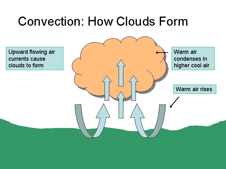
Convection: How Clouds Form Upward flowing air currents cause clouds to form Warm air condenses in higher cool air Warm air rises

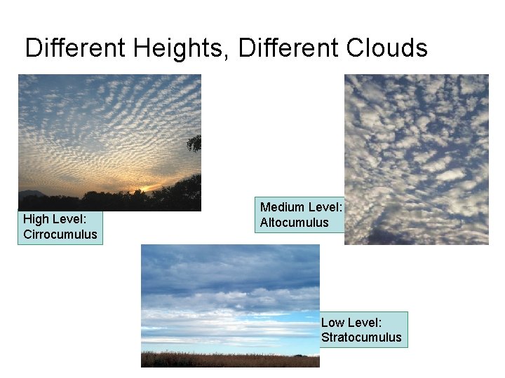
Different Heights, Different Clouds High Level: Cirrocumulus Medium Level: Altocumulus Low Level: Stratocumulus

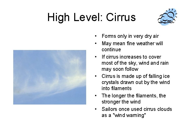
High Level: Cirrus • Forms only in very dry air • May mean fine weather will continue • If cirrus increases to cover most of the sky, wind and rain may soon follow • Cirrus is made up of falling ice crystals drawn out by the wind into filaments • The longer the filaments, the stronger the wind • Sailors once used cirrus clouds as a "wind warning"

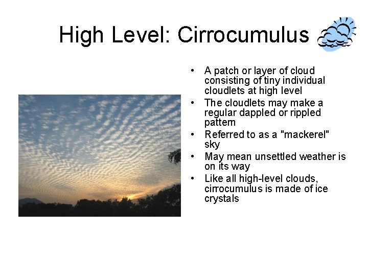
High Level: Cirrocumulus • A patch or layer of cloud consisting of tiny individual cloudlets at high level • The cloudlets may make a regular dappled or rippled pattern • Referred to as a "mackerel" sky • May mean unsettled weather is on its way • Like all high-level clouds, cirrocumulus is made of ice crystals

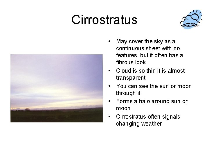
Cirrostratus • May cover the sky as a continuous sheet with no features, but it often has a fibrous look • Cloud is so thin it is almost transparent • You can see the sun or moon through it • Forms a halo around sun or moon • Cirrostratus often signals changing weather

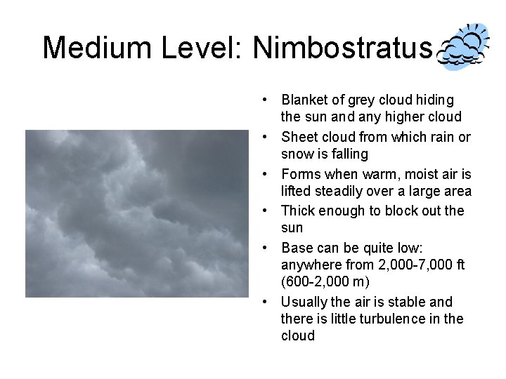
Medium Level: Nimbostratus • Blanket of grey cloud hiding the sun and any higher cloud • Sheet cloud from which rain or snow is falling • Forms when warm, moist air is lifted steadily over a large area • Thick enough to block out the sun • Base can be quite low: anywhere from 2, 000 -7, 000 ft (600 -2, 000 m) • Usually the air is stable and there is little turbulence in the cloud

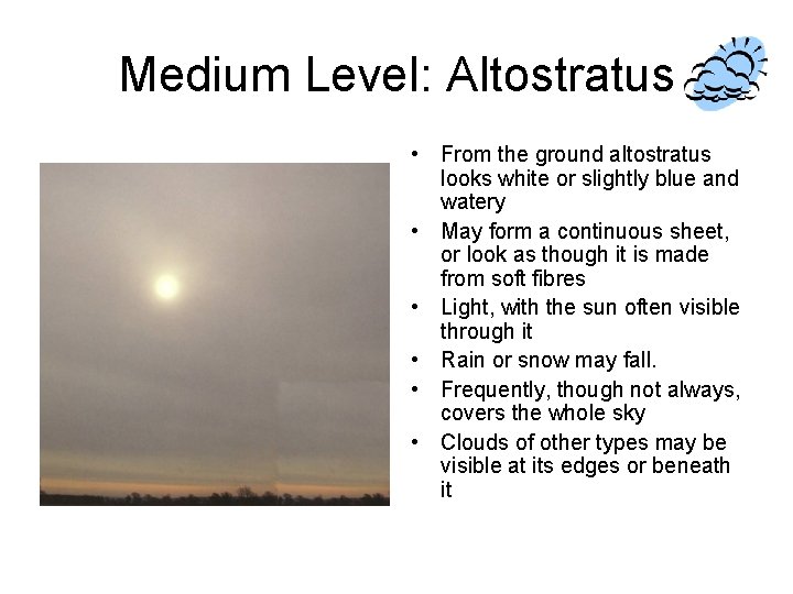
Medium Level: Altostratus • From the ground altostratus looks white or slightly blue and watery • May form a continuous sheet, or look as though it is made from soft fibres • Light, with the sun often visible through it • Rain or snow may fall. • Frequently, though not always, covers the whole sky • Clouds of other types may be visible at its edges or beneath it

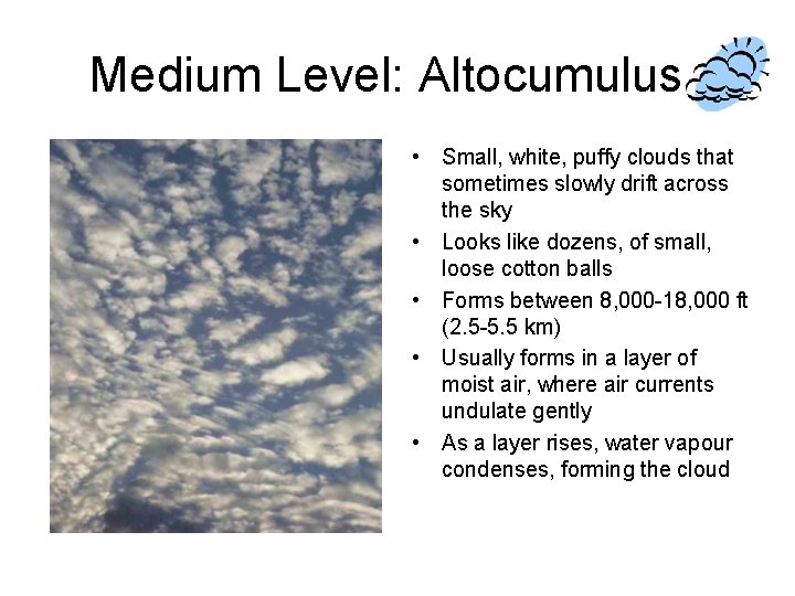
Medium Level: Altocumulus • Small, white, puffy clouds that sometimes slowly drift across the sky • Looks like dozens, of small, loose cotton balls • Forms between 8, 000 -18, 000 ft (2. 5 -5. 5 km) • Usually forms in a layer of moist air, where air currents undulate gently • As a layer rises, water vapour condenses, forming the cloud

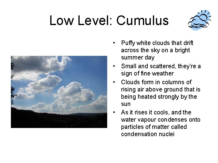
Low Level: Cumulus • Puffy white clouds that drift across the sky on a bright summer day • Small and scattered, they’re a sign of fine weather • Clouds form in columns of rising air above ground that is being heated strongly by the sun • As it rises it cools, and the water vapour condenses onto particles of matter called condensation nuclei

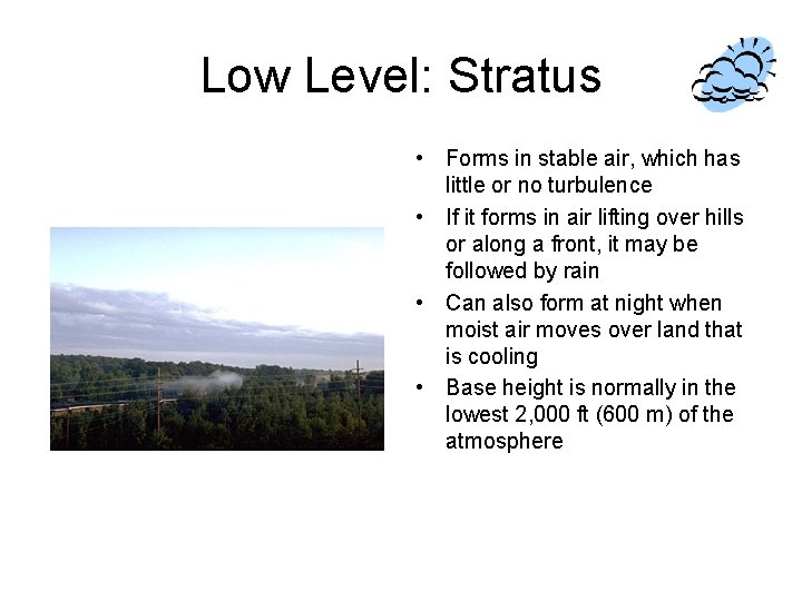
Low Level: Stratus • Forms in stable air, which has little or no turbulence • If it forms in air lifting over hills or along a front, it may be followed by rain • Can also form at night when moist air moves over land that is cooling • Base height is normally in the lowest 2, 000 ft (600 m) of the atmosphere

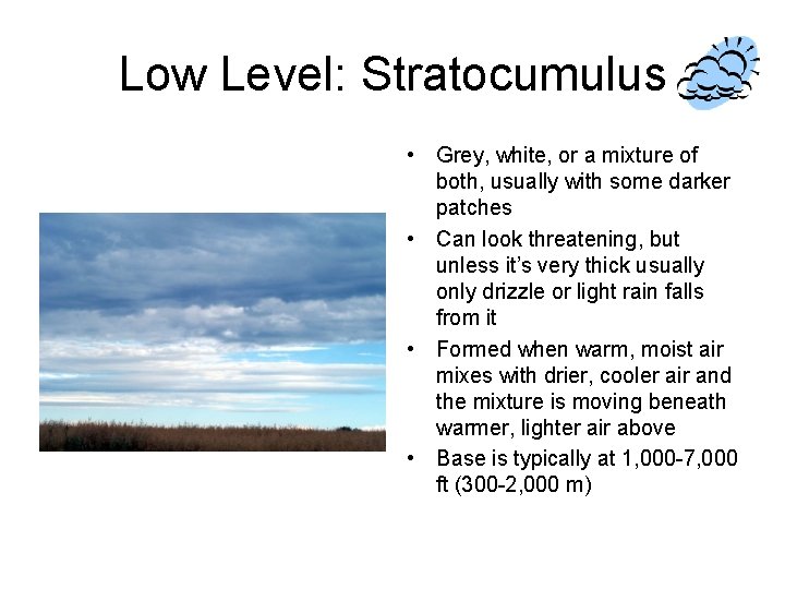
Low Level: Stratocumulus • Grey, white, or a mixture of both, usually with some darker patches • Can look threatening, but unless it’s very thick usually only drizzle or light rain falls from it • Formed when warm, moist air mixes with drier, cooler air and the mixture is moving beneath warmer, lighter air above • Base is typically at 1, 000 -7, 000 ft (300 -2, 000 m)