CITY OF BALANGA CITY DISASTER RISK REDUCTION MANAGEMENT

CITY OF BALANGA CITY DISASTER RISK REDUCTION & MANAGEMENT OFFICE
 - Can see Balanga’s Weather Prediction for One Week -")
Automated Weather Station (AWS) - Can see Balanga’s Weather Prediction for One Week - Click the following link or type for result - http: //weather. com. ph/Balanga_City-93457
 There are 3 ARG (Automated Rain Gauge) located at Brgy.")
Automated Rain Gauge (ARG) There are 3 ARG (Automated Rain Gauge) located at Brgy. Dangcol, Brgy. Cabog-Cabog, Brgy. Bani Cataning. - This devices measured the amount of rainfall here on Balanga - Click the following - http: //fmon. asti. dost. gov. ph/weather/predict/

Water Level Monitoring Tuyo Bridge Raquiza Bridge Talisay Bridge

Go! Go! Get set

DURING TYPHOON/HABAGAT READY • Prepare/ pack your things. • Ready yourself & your family • Keep on listening/watching the updates in the news GET SET • Keep on listening/watching the updates in the news • Wait for the go signal of BRGY/CDRRMC • Ready yourself & your family GO! • Don’t panic! Keep calm! • Wait for the 1 full minute alarm. • Grab your things & go to the nearest pickup points in your BRGY. • PICK-UP POINTS: BARANGAY HALL/DESIGNATED PICK-UP POINTS • The BRGY. Service together with Dump Trucks from City will assist you to Evacuation Center (SCHOOLS/PEOPLES CENTER) • Check-in in the respective rooms/evacuation area • The food during your stay in the Evacuation Area is provided by your respective brgys/ CSWD. • The BRGY will request the CSWD to provide relief goods for the evacuees • Keep on observing the weather condition • Wait for further announcement about the Typhoon/Habagat • The BRGY. /CDRRMC Will give the evacuees the GO SIGNAL (MGH-may go home) • Don’t forget the After Care & check-out

YELLOW ADVISORY ORANGE ADVISORY RED WARNING 7. 5– 15 mm rain per hour has fallen and expected to continue for 3 hours 15 -30 mm rain per hour is observed and expected to continue for 3 hours Flooding is possible AWARENESS Flooding is threatening PREPAREDNESS More than 30 mm rain per hour has Flood is fallen and will expected in low continue to fall lying areas for 3 hours RESPONSE

è Public Storm Warning Signal No. 1 Winds not more than 60 KPH may be expected in at least 36 hours. è Public Storm Warning Signal No. 2 Winds of 61 - 100 KPH may be expected in at least 24 hours. è Public Storm Warning Signal No. 3 Winds of 101 - 185 KPH may be expected in at least 18 hours. è Public Storm Warning Signal No. 4 Winds greater than 185 KPH may be expected in at least 12 hours.

MANILA TIDE TABLE: Sunday 7 December Monday 8 December Tuesday 9 December 6: 08 AM PHT Sunrise 6: 30 AM PHT Moonset 5: 26 PM PHT Sunset 6: 15 PM PHT Moonrise 10: 06 PM PHT 6: 09 AM PHT 6: 27 AM PHT 7: 21 AM PHT Moonset 5: 26 PM PHT Sunset 7: 07 PM PHT Moonrise 10: 42 PM PHT 6: 09 AM PHT 7: 07 AM PHT 8: 11 AM PHT Moonset 5: 26 PM PHT Sunset 7: 58 PM PHT Moonrise 11: 19 PM PHT 1. 20 meters (3. 94 ft) High Tide Sunrise -0. 21 meters 1. 19 meters (-0. 69 ft) (3. 90 ft) Low Tide High Tide Sunrise -0. 20 meters 1. 15 meters (-0. 66 ft) (3. 77 ft) Low Tide High Tide

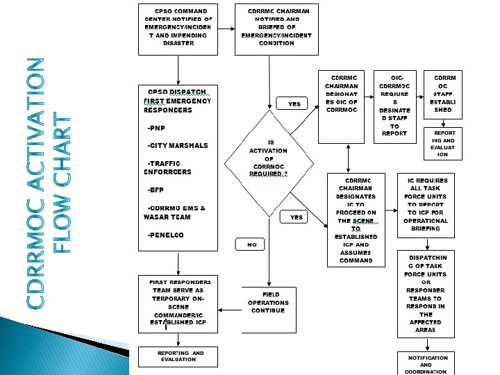
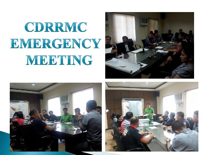
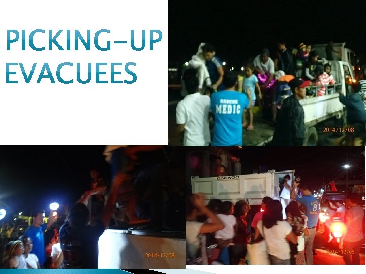
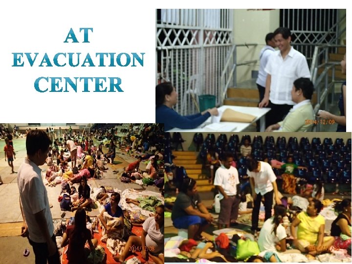
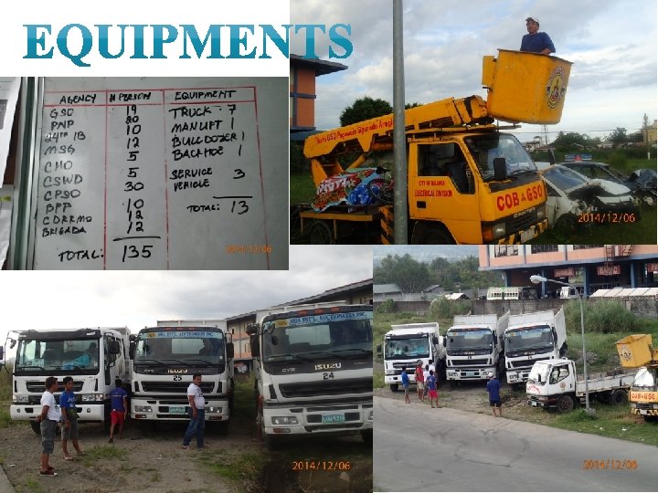
Alert from DOST-PAGASA PHASE 1 Alert BDRRMC/CDRRMC PHASE 2 CDRRM Council Convene CDRRMO– OPLAN KALASAG ACTIVATE OPCEN PHASE 3 @ Evacuation Center Evacuation Camp Management By: CSWD PHASE 4 Warning Signals Weakened By: PAGASA(DOST) Alert BDRRMC To give Warning in Barangay GET READY FOR Possible EVACUATION Alert BDRRMC/CDRRMC For EVACUATION Alert BDRRMC/CDRRMC ·Check-in Manpower (PNP, GSO, CENRO. BFP, CPSO, CHO, etc) ·Equipments available ·Alert CSWD to prepare Evacuation Centers ·Tap partner NGO’s for additional Manpower & Equipments ·Initial Report by CDRRMO to be sent to RDRRMC ·Dispatching of Trucks & Responders to Evacuate the Barangay(High-Risk Areas) ·Registration of Evacuees ·Distribution of Hot-Pot meals ·CHO personnel on Stand-by on Evac. Cnter for Medical Assistance ·PNP, CPSO & 24 th IB for Security assistance ·CDRRMC will Provide Food for the Responders ·Progress Report by CDRRMO to be sent to RDRRMC Areas are Declared Safe for Residents, CDRRMC will decide to send Back the Evacuees to their Homes. ·CSWD will distribute Relief Goods to all Evacuees ·CDRRMC OPCEN will demobilize all Responders & Equipments.

Policy Group Incident Commander Mr. Jose Balana PIO Karleen Mae Inieto Asst. Danica Reyes & Jen Diverson Liason Robert Carreon Asst. Janeth Borale & Margareth Safety David Malibiran Asst. August Sanchez Logistic Operation Planning Admin/Finance Emer Mangubat/ Lito Tuazon David Malibiran/ Leopoldo Vida Joaquin Banzon Delia Arenas/ Rose Aguinaldo EMS PSO -SOG WASAR PNP Task Force Units Service Sector BFP GSO, CHO, CSWD, 24 IV, UNTV, RUEDA TRACKING, ARMY RESERVIST, OTHER VOLUNTEERS
 Level of Response The plan will not be activated in")
ALERT I (Pre-Disaster Phase) Level of Response The plan will not be activated in the event of a regular emergency which may require the deployment of one or a combination of responses of Police, Fire Station, or others, in order to limit damage to persons, property on the environment. In such cases, normal departmental procedures will be applied.
 Level of Response The plan or part of the")
ALERT II (Actual Disaster Phase) Level of Response The plan or part of the plan may be activated in the event of an unusual or major emergency, which will require action and coordination beyond normal procedures, in order to limit damage to persons, property or the environment. The capabilities of the CDRRMC or local government agencies are not exceeded but the incident requires assistance of more than Police and Fire personnel. When partial activation of the CDRRMOC is ordered, only selected staff will be ordered to report to work to the CDRRMOC. The Executive Officer will determine staff composition to coordinate the operational requirements of the On-Scene Commander and its field operations team.
 Level of Response The plan will be put into effect")
ALERT III(Post Disaster Phase) Level of Response The plan will be put into effect in the event of a major emergency with any or all of the following conditions: • The emergency condition has exceeded or has the potential to exceed the emergency response capabilities of the CDRRMC, or the city government agencies. Assistance will be sought from the National Government, the public and private organizations, and other support agencies as required and available. • The emergency is of long or has traumatic impact on residents or when widespread damage to property, to the environment, or the local economy, as a result of natural or man-made hazards has occurred.

KA lamidad at sakuna LA banan SA riling G aling ang kaligtasan
- Slides: 20