Chapter Notes 1 1 Thinking Like A Geographer
 Geography - the study of the")
 D. Prime Meridian")
 I. Types of Geography A. Geographers study")
 1. Title - tells the reader what")

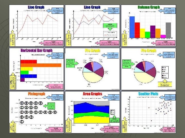
 1. Bar Graphs – use bars to compare")
 1. Line Graphs – show changes over a")
 1. Circle Graphs – uses a circle to")
 1. Charts - present related facts and numbers")
 1. Diagrams – drawings that steps in a")
- Slides: 11
Chapter Notes 1 -1 (Thinking Like A Geographer) Geography - the study of the earth and its people. Geographers use (5 themes) to study the earth. I. Location - Knowing where you are. Position of a place on the Earth’s surface A. There are two kinds of location: 1. Absolute Location – exact spot on earth 2. Relative Location - comparing two places B. Latitude and longitude are imaginary lines that form a grid system. 1. Latitude - called “parallels”; runs east and west. 2. Longitude - called “meridians”; runs north and south
C. Equator divides the earth into northern/southern hemispheres. (0 * Latitude) D. Prime Meridian divides the earth into eastern/western hemispheres. (0* Longitude) E. Hemispheres - one half of the globe. C. Place – refers to the characteristics of a location that make it different. (physical/human) D. Human/Environment Interaction – how people affect and are affected by their environment (natural surroundings). E. Movement – how people, ideas, and goods move from place to place. F. Region - areas that have features in common. Determined by human traits (language) or by physical features (landscape).
Chapter Notes 1 -1 (A Geographer’s Tools) I. Types of Geography A. Geographers study the physical and human features of people living in a place. B. Geographers also study how people interact with their environment. II. Map Systems A. Maps are a tool geographers use organize information of a place. B. The Global Positioning System (GPS) a device that receives a signal from a satellite that gives a location (lat. /long). C. The Geographic Information Systems (GIS) helps gather data that is used for special maps.
Parts of a Map (Geography Skills Handbook) 1. Title - tells the reader what is on the map 2. Legend (Key) - Interprets the colors and symbols and what they represent. 3. Grid System - lines used to find absolute location. 4. Compass Rose - shows direction 5. Scale - shows the relationship between a unit of measure on a map and a unit of measure on the earth.
Map Information A. General Reference Maps Gives the reader such information as location, size, and distance. 1. political: countries borders, states, and cities 2. physical: landforms and water features B. Thematic Maps Gives the reader more specific information, often on a single topic. They show the distribution or amount of something in a certain area. 1. Land Use and Resources 2. Climate and Vegetation
Types of Graphs (Geography Skills Handbook) 1. Bar Graphs – use bars to compare data visually
Types of Graphs (Geography Skills Handbook) 1. Line Graphs – show changes over a period of time
Types of Graphs (Geography Skills Handbook) 1. Circle Graphs – uses a circle to show the whole of something (100%)
Types of Graphs (Geography Skills Handbook) 1. Charts - present related facts and numbers in an organized way
Types of Graphs (Geography Skills Handbook) 1. Diagrams – drawings that steps in a process, point out the parts of an object , or explains how something works.