Chapter 3 Section 2 Mapmaking and Technology Objectives

Chapter 3 Section 2 Mapmaking and Technology Objectives: -Practice making a map using Plain-Table Surveying -Describe the roles of satellites and computers in making and using maps
 • Mission: The USGS serves the Nation by")
The United States Geological Survey (USGS) • Mission: The USGS serves the Nation by providing reliable scientific information to describe and understand the Earth; minimize loss of life and property from natural disasters; manage water, biological, energy, and mineral resources; and enhance and protect our quality of life. • http: //www. usgs. gov/

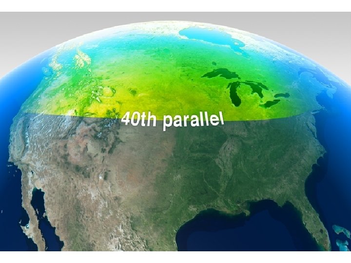
Four Surveys of the West • Parallels and Meridans

Traditional Mapping Methods • Plane-Table Surveying – From the highest vantage point, cartographers would draw what they would see. • Aerial Photographs
 • Sends out a radio signal which bounces off")
Radar (Radio Detection and Ranging) • Sends out a radio signal which bounces off objects such as mountains and a computer reads the signal translating the information into an image

Satellite Technology • Use of sensors to detect changes in wavelength of light that is reflected off Earth’s surface and computers translate this information into an image
 • Three segments: Space, Control, and User • Space segment")
Global Positioning System (GPS) • Three segments: Space, Control, and User • Space segment is made up of 24 satellites which orbit the earth • Control segment is the master control station near Colorado Springs, CO which tracks the satellites • User segment is the receiver people use.

 • Combination of satellite images, statistical surveys and traditional land")
Geographic Information Systems (GIS) • Combination of satellite images, statistical surveys and traditional land surveys, lets cartographers make maps
- Slides: 10