Chapter 23 The Physical Geography of South Asia


- Slides: 17

Chapter 23 The Physical Geography of South Asia

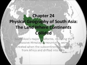
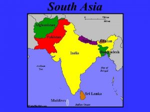
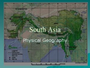
The Land • South Asia is a subcontinent-a large, distinct landmass that is joined to a continent • separated by mountains from the rest of Asia

• Surrounded by three bodies of water: Arabian Sea, Indian Ocean, Bay of Bengal Indian Ocean

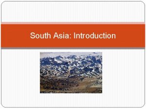
The Himalaya • According to theory of continental drift, Himalayan Mts were created when subcontinent broke away from Africa and collided with the southern edge of Asia. • 60 million years ago • Forced mountains upward • Over 1000 miles long and hundreds of miles wide

Mount Everest • World’s highest peak • Rises 29, 035 feet above sea level

Northern Landforms • Three mountain ranges form a chain that separates subcontinent: Karakoram Mountains, Hindu Kush, Himalaya • Khyber Pass- narrow crossing point between Pakistan and Afghanistan • Mountains protect Nepal and Bhutan from outsiders until 1900 s

Ganges River

Vindhya Range The Vindhya Range is at an elevation from 1, 500 to 3, 500 feet. Because of their horizontal sandstone structure, the mountains tend to be flat-topped and plateau-like. The range is regarded as marking the border between northern and peninsular India.

Southern Landforms • In the south the Western Ghats and the Eastern Ghats form a triangle • The Deccan Plateau is in the middle of the older, rugged hills • Deccan Plateau – rich, black soil from area once covered in lava • Western Ghats prevent rainy winds and create semi-arid to dry conditions on the Deccan Plateau • Karnataka Plateau receives much of the rain and has rain forest conditions K a r n a t a k a

Sri Lanka and the Maldives • Sri Lanka broke away from the subcontinent • Maldives-chain of tiny coral atolls and volcanic islands; covers 35, 000 miles of ocean, but only 300 square miles in area

Major River Systems • Indus The Indus River flows through Pakistan and into the Arabian Sea; known as one of the cradles of ancient civilization together with Egypt and Mesopotamia

Brahmaputra River • flows east through the Himalaya and into western India and Bangladesh, then joins with the Ganges, and empties into the Bay of Bengal • provides Bangladesh with 50% of in power through hydroelectricity • Is navigable for 800 miles and is major source of transportaion

Ganges River • • • Flows east from the Himalaya Most important river of South Asia Named after Hindu goddess, Ganga Maintains levels during entire year Flooding serious problem during summer monsoon season – April to June

Ganges Plain • World’s longest alluvial plain • Area of fertile soil deposited by flooding river • Most densely populated area

Natural Resources: water, energy resources, minerals, timber • Water: drinking water, transportation, alluvial soil, hydroelectricity • Rivers cross national borders

Energy resources • Petroleum reserves along India’s NW coast, near Ganges Delta and in N Pakistan • Arabian Sea oil explorations; but South Asia still depends on oil imports • Natural gas fields in southern Pakistan, Ganges Delta, Bangladesh • Uranium in Eastern Ghats • Most energy comes from hydroelectricity, fuel wood, coal

Minerals • India-leading exporter of iron ore, 90% of world’s mica (used in making electrical equipment) • Manganese, chromite, and gypsum await development • Nepal- mica and copper • Sri Lanka- graphite, sapphires, rubies, and other precious stones
 Climate zones of asia
 Chapter 25 section 3 nepal and bhutan
 Chapter 27 physical geography of east asia
 Chapter 21 physical geography of southwest asia
 Peninsulas and waterways in southwest asia
 Reteaching activity 24 cultural geography of south asia
 South asia physical features
 Southern and eastern asia physical features answer key
 Tear
Tear East asia physical geography
 Physical geography of east asia
 Chapter 15 lesson 1 physical geography of north africa
 Physical geography of east asia
 Kums definition geography
 Latin america webquest
 Lesson 1 physical geography of south america
 Chapter 22 human geography of southwest asia
 Swana
Swana
