CENSUS GEOGRAPHY WORKSHOP Tim Mc Monagle Geography Los


- Slides: 11
CENSUS GEOGRAPHY WORKSHOP Tim Mc. Monagle Geography Los Angeles Regional Office
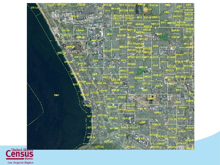
Hierarchy of Census Geography
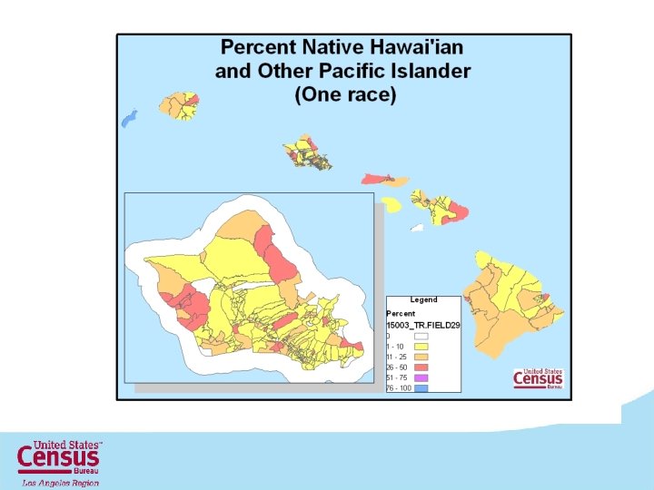
Changes in California Census Geography for 2010 Geographic Entities American Indian / Alaska Native / Native Hawaiian Areas 2010 Census 2000 108 103 Block Groups 23212 22133 Census Blocks 710145 533163 Census Tracts 8057 7049 Congressional Districts (108 th - 112 th) 53 53 Counties and Equivalents 58 58 County Subdivisions 397 387 Elementary School Districts 548 571 Places 1523 1081 Secondary School District 104 92 State Legislative Districts (Lower) 80 N/A State Legislative Districts (Upper) 40 N/A Unified School Districts 335 326 17582 N/A Voting Districts
2010 Census Tract Criteria New Census Tracts Coding Series 9400 -9499 Any tract with a majority of population and/or area on Hawaiian Home Lands 9800 -9899 Special Land Use tracts 9900 -9999 Water Census Tracts
What are TIGER/Line Shapefiles? • Extracts of selected geographic and cartographic information from MTDB. • Nationwide coverage • Contains no sensitive data • Are designed for use with GIS • Contains geographic linear, areal, and point features, including attribute information • Geographic entity boundaries • The legal and statistical areas for which Census tabulates data 6
File Naming Convention The name of each file is: tl_2010_<extent>_<layer>_<ext> • tl- TIGER/Line • 2010 - version • extent - 2 digit state FIPS code - 5 digit state county FIPS code • layer- type of geography or feature 10 at the end = 2010 census geography 00 at the end = 2000 census geography • ext – file extension 7
Attribute and Data Tables
Join Function
Tim Mc. Monagle Geography Los Angeles Regional Office U. S. Census Bureau Timothy. william. mcmonagle@census. gov 818 -267 -7124 11