
CDR Olivia Hauser NOAA About myself JO RA
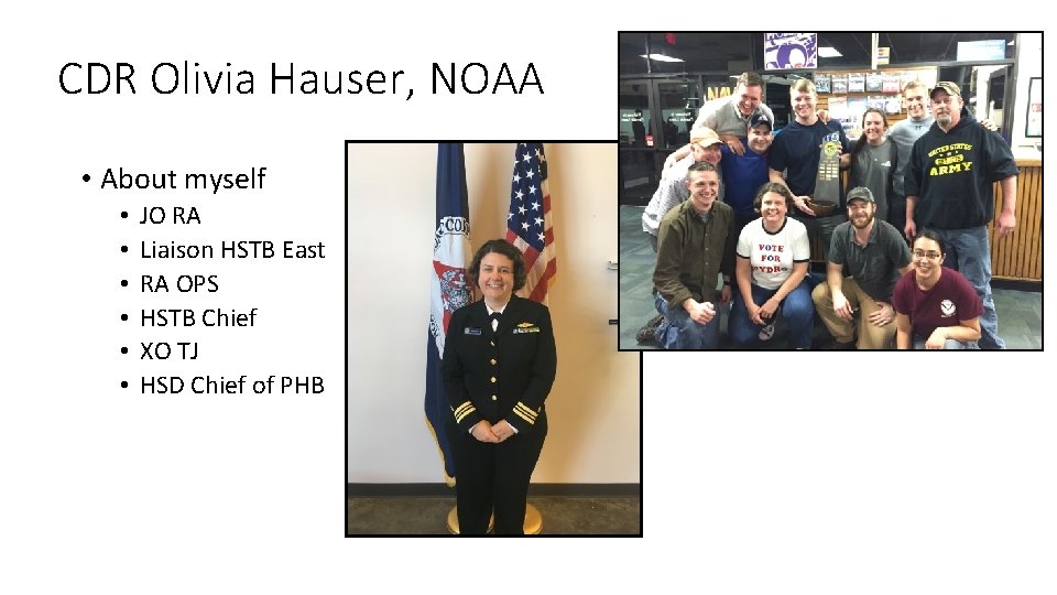
CDR Olivia Hauser, NOAA • About myself • • • JO RA Liaison HSTB East RA OPS HSTB Chief XO TJ HSD Chief of PHB
Personal Philosophy • Hydrography is a community made up of many offices and people. Staying connected and networking is important. • On your ship/field unit, other field units. . • In Coast Survey: Eric Younkin, John Doroba, LTJG Shelley Devereaux, LTJG Matt Sharr • hstb. ocs. atlantic@noaa. gov • hstb. ocs. pacific@noaa. gov • There are many details in hydrography, and not everyone is an expert. (in fact many people are not). Use your resources and know who to contact if you have questions. • Ask questions; lots of them. • Be a critical thinker • Learning hydrography takes time. It’s a tough job, but really rewarding.
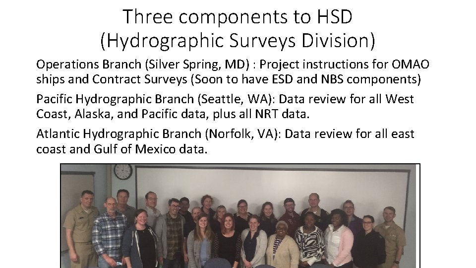
Three components to HSD (Hydrographic Surveys Division) Operations Branch (Silver Spring, MD) : Project instructions for OMAO ships and Contract Surveys (Soon to have ESD and NBS components) Pacific Hydrographic Branch (Seattle, WA): Data review for all West Coast, Alaska, and Pacific data, plus all NRT data. Atlantic Hydrographic Branch (Norfolk, VA): Data review for all east coast and Gulf of Mexico data.

Role of the Hydrographic Branches 1. Review data coming from ships/NRTs/contractors to be sure Specs and Deliverables were met: High Quality Data • Submit to MCD for charting 2. Review External Source Data (in the past 5 years); determine suitability for charting. (May or may not be high quality data) • Submit to MCD for charting 3. Building a National Bathymetric Database (NBS) to better manage data; support chart re-scheming (Data given a CATZOC) 4. Work with NCEI for data archival, data availability to the public, create data products for public consumption 5. Sail on ships to provide data review support, share expertise 6. H-cells for MCD, (So expanding top three)
New Team Leads in Hydrographic Surveys Division Operations Branch: External Source Data National Bathymetric Source Operations NOAA Surveys Contract Surveys PHB/AHB Hydrographic Team Lead Products Team Lead HSTB National Bathymetric Source Development
RSA: Rapid Survey Assessment Definitions RSA Accepted: Everything is good to go RSA Not Accepted/Accepted: Not in compliance, but it will take the branch less than a day to complete, so corrections made locally RSA Not Accepted : Branch cannot continue. Does not have the information or work will take more than one day to complete.
SAR: Survey Acceptance Review In depth survey review: • What were the instructions; were they met • Did data adhere to Specifications and Deliverables • All correctors applied? • Grids • Data anomalies, artifacts, free from erroneous information • Feature review • Ready for charting? • Use SAR checklist, which should be coming back to the field with feedback • PS should be reaching out to your field unit when they are ready to start the SAR If possible, please ask questions before you submit your survey Once your survey is submitted, we have to go through all of the formal documentation High Quality Data is key
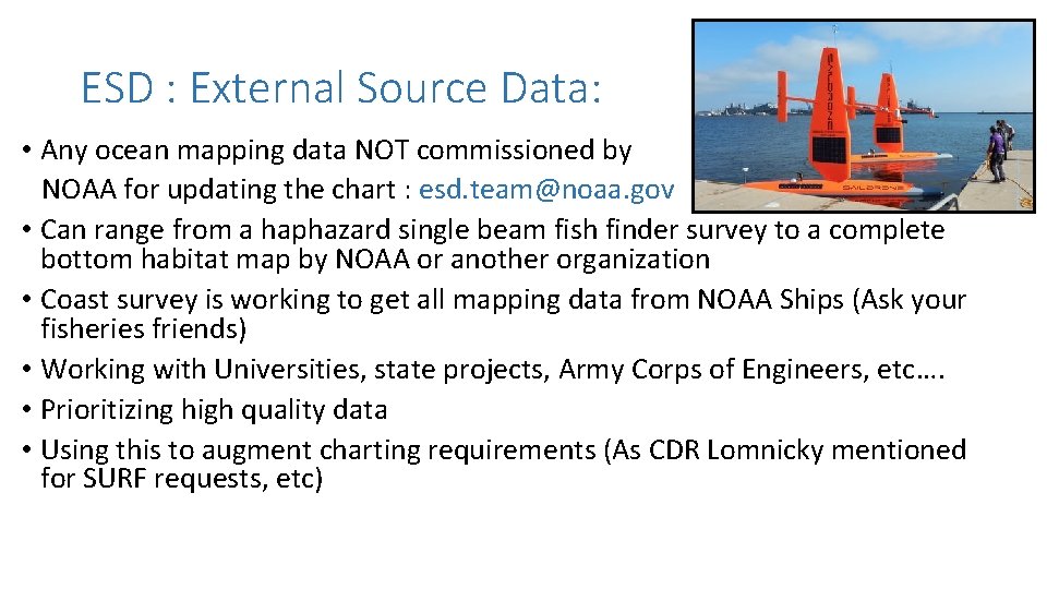
ESD : External Source Data: • Any ocean mapping data NOT commissioned by NOAA for updating the chart : esd. team@noaa. gov • Can range from a haphazard single beam fish finder survey to a complete bottom habitat map by NOAA or another organization • Coast survey is working to get all mapping data from NOAA Ships (Ask your fisheries friends) • Working with Universities, state projects, Army Corps of Engineers, etc…. • Prioritizing high quality data • Using this to augment charting requirements (As CDR Lomnicky mentioned for SURF requests, etc)
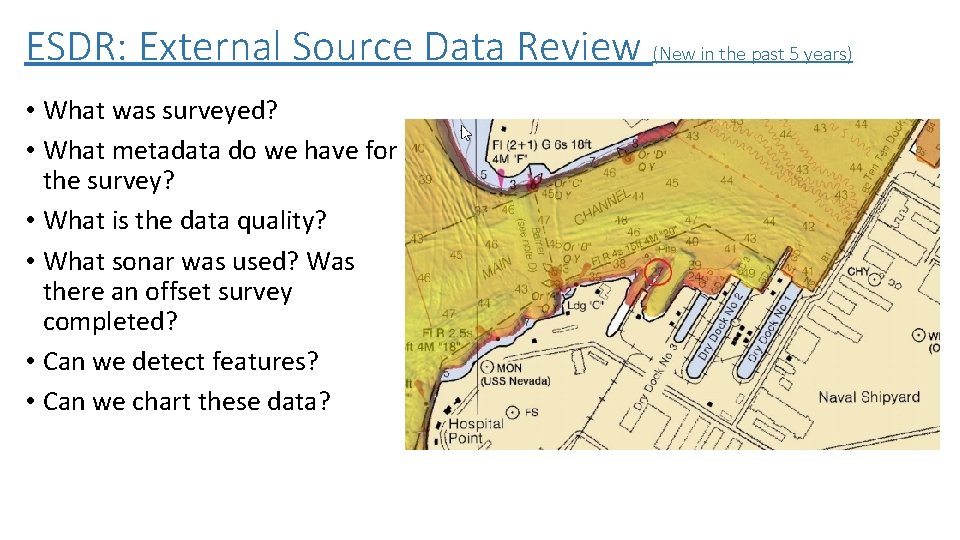
ESDR: External Source Data Review (New in the past 5 years) • What was surveyed? • What metadata do we have for the survey? • What is the data quality? • What sonar was used? Was there an offset survey completed? • Can we detect features? • Can we chart these data?
Branch creates deliverables For MCD (Marine Chart Division) • BAG • Final Feature file (with extended attributes) • DR For NCEI (National Centers for Environmental Information) Archive: All data Products page (For public download) • BAG • Geo. PDF • DR For NBS: National Bathymetric Source Bathymetry database being built by HSD in support of MCD chart rescheme (next presentation)
Data review tools created and maintained by HSD/HSTP Feature rename tool QC tools: Includes the following (ocs. qctools@noaa. gov) Flier Finder tool Feature check tool (Feature scanner) LTD tool (letter transmitting data) : erin. weller@noaa. gov Charlene; Correct file structure: Eric Younkin XML DAPR: HVF inport tool: New as of 2018 XML DR/DR memo/Chart Letter (xml. dr@noaa. gov for all XML products)
Philosophy (Again! I think this is important) • Hydrography is a community made up of many offices and people. Staying connected and networking is important. • There are many details in hydrography, and not everyone is an expert. (in fact many people are not). Use your resources and know who to contact if you have questions. • Ask questions; lots of them. • Be a critical thinker • Learning hydrography takes time. You will learn and keep learning
Contact Information Important sites for information • Olivia Hauser; (Feel free to reach out at any time) • Olivia. hauser@noaa. gov • 206 -526 -6835 • 302 -229 -3368 • Hydroforum: • https: //sites. google. com/a/noaa. gov/ocs-hydrography/newfrontpage • Smart. Start • Self paced learning. It should be on your ship’s network, with your team lead, with your branch. Ask for it! • QC Tools • Part of Pydro
- Slides: 15