Canada Map Page 35 Locate the following St


- Slides: 15
Canada Map Page 35 Locate the following: • • St. Lawrence River Hudson Bay Atlantic Ocean Pacific Ocean The Great Lakes Canadian Shield Rocky Mountains
Great Lakes • Most Canadians live here • 70% of manufactured goods are produced here St. Lawrence River • Used for hydroelectric power Rocky Mountains • Mountains are mined for minerals Very Cold Climate
Flipping Geography Page 36 Directions: • Cut out the flip graph • Answer the questions on the back of the flap • Glue into IN
Canada Pollution Page 37 Directions: • Cut out Chart glue into IN
Canada
Canada: Great Lakes Pollution • Waste from industries, sewage treatment plants, runoff, pesticides, fertilizers, oil, grease, salt. • Canada and the US are working together to clean up the pollution and the acid rain – Regulating industry – Replacing coal – Adding lime to rivers
• By the 1970 s, the Great Lakes became known for their pollution – In some places, fishing was unsafe; in other places there were no fish left alive – The factories around the Great Lakes had been using the lakes as a cheap dumping ground
Improving Air Quality Acid Rain causes many problems: • Kills plants • Damages or kills trees • Pollutes lakes and rivers • Kills fish • Buildings are damaged Acid Rain is a serious problem in Ontario and Quebec.
• Canada has passed laws to limit the pollution – Government has worked with the factory owners to build factories that don’t pollute the air – New laws passed require automobiles to produce less pollution – Government also encourages Canadians to walk, ride bikes, or take the bus instead of driving their cars
• The most valuable minerals available in Canada are located within the Canadian Shield – minerals (gold, silver, copper, zinc, lead, iron ore, uranium, and nickel) – About 1. 5 million people make their living in the mining industry (most in the Canadian Shield)
• The Canadian Shield’s minerals are also located near the most populated areas of Canada, meaning that these environmental issues also impact the people living there • The government has made new laws about mining, some reduce the amount of pollution allowed into the waterways
The Timber Industry • Issue with clear cutting include: – Reduced water quality – Erosion – Loss of wildlife habitat • The government & logging industry spend money to protect the forests • Some environmental groups want smaller groups of trees cut down rather than hundreds of acres at a time
• Canada’s government & the timber industries are working together to manage the use of the forests – Hundreds of millions of seeds and seedlings are planted each year – Billions of dollars are spent managing and protecting the forests – Over $100 million is spent each year by the logging industry to protect wildlife and their habitat
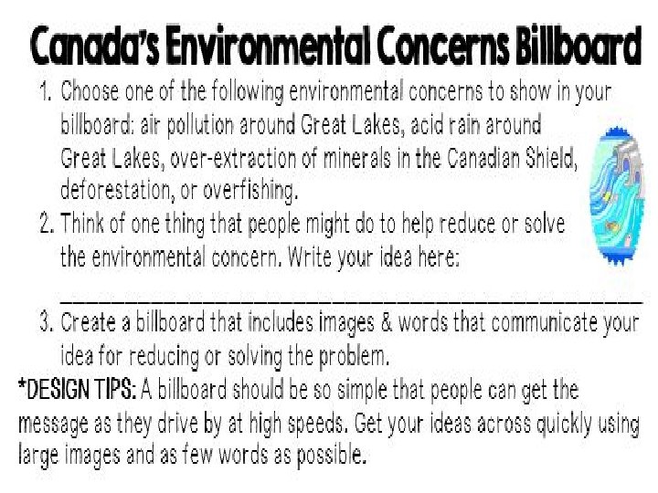
Billboard on Pollution Problems Page 37 Directions: • Cut out Billboard and chart • Answer Chart and questions on page 36 • Glue into IN