
Bundesamt fr Landestopografie Office fdral de topographie Ufficio
Bundesamt für Landestopografie Office fédéral de topographie Ufficio federale di topografia Uffizi federal da topografia FOSS in Business Processes: Reflections from a National Mapping Agency Jesko Schaper FOSS 4 G 2006, Lausanne
Outline • • Introduction Federal Spatial Data Infrastructure Services Applications Processes Technical Solution Conclusion FOSS 4 G 2006 9/10/2020 2
Introduction • Federal Office of Topography • Vision: „swisstopo is the competence centre of the Swiss Confederation responsible for geographical reference data and all products derived from them. swisstopo’s National Map series also enjoys international recognition. “ • Geographical reference data: – Vector data: Landscape models, DTM‘s – Raster data: Maps, Orthophotos, Sat. image mosaics FOSS 4 G 2006 9/10/2020 3
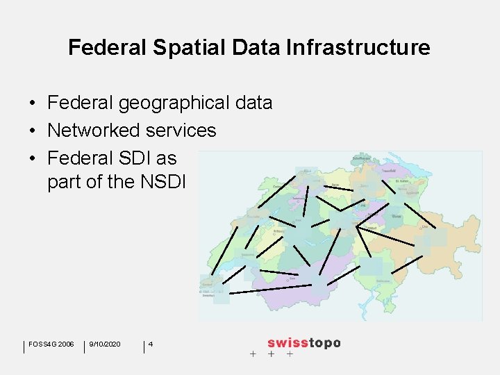
Federal Spatial Data Infrastructure • Federal geographical data • Networked services • Federal SDI as part of the NSDI FOSS 4 G 2006 9/10/2020 4
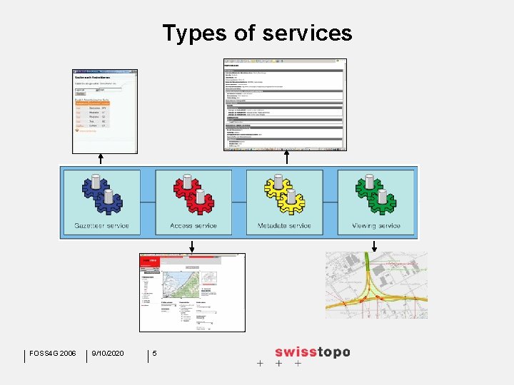
Types of services FOSS 4 G 2006 9/10/2020 5
The Geodata Portal of swisstopo / KOGIS Geodata portal with services FOSS 4 G 2006 9/10/2020 6 Applications (combination of services)
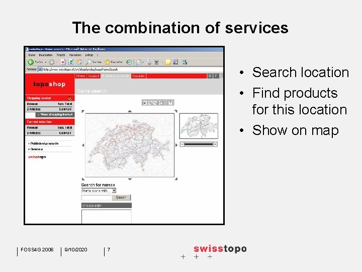
The combination of services • Search location • Find products for this location • Show on map FOSS 4 G 2006 9/10/2020 7
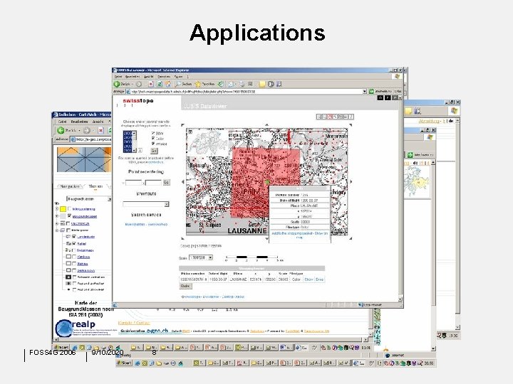
Applications FOSS 4 G 2006 9/10/2020 8
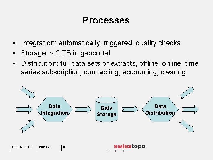
Processes • Integration: automatically, triggered, quality checks • Storage: ~ 2 TB in geoportal • Distribution: full data sets or extracts, offline, online, time series subscription, contracting, accounting, clearing Data Integration FOSS 4 G 2006 9/10/2020 9 Data Storage Data Distribution
Distribution • • • Full data sets: instant file delivery Extracts: back office processing, delayed delivery WMS, WFS in combination with AAA Accouting for download (file) or request (service) Contracting for orders > 1‘ 000. - CHF Clearing at one point FOSS 4 G 2006 9/10/2020 10
Technical Solution • • Linux Server Cluster Webserver: Apache, J 2 EE, Jetty, PHP Mapserver: UMN Mapserver, Cartoweb Database: Postgre. SQL, Post. GIS Tools: gdal, ogr, shapelib, cvs, FME Task Manager: Sync. Serv Bugtracking: Bugzilla, Mantis FOSS 4 G 2006 9/10/2020 11
Conclusion • 95% FOSS actually in our web infrastructure • Tools and software enable a stable platform with broad accessibility • Gain from the OS community • A contribute to e-government FOSS 4 G 2006 9/10/2020 12

Further Informations: www. e-geo. ch www. kogis. ch www. swisstopo. ch jesko. schaper@swisstopo. ch FOSS 4 G 2006 9/10/2020 13
- Slides: 13