BIG SPATIAL DATA Geographic data of high resolution

BIG SPATIAL DATA Geographic data of high resolution and covering large areas creates big spatial data Remotely-sensed images § One-meter resolution NAIP images for Dent County, Missouri (1, 955 km²) require 800 GB of storage space (more than 4 Pb equivalent for U. S. ) § Atlanta footprint of 0. 33 m resolution color images is almost 1 Tb of data § Satellite images with finer than one meter resolution § Li. DAR data of level 1 (8 pts per square meter), level 2 (2 points per square meter)
 program has about 4.")
HOW MUCH DATA SO FAR? NASA’s Earth Observation System (EOS) program has about 4. 2 petabytes (2010) Similar sized collections can be expected in Europe and Asia EOS contains mostly satellite data…not air photos, map or field data What about citizen-science ‘Volunteered’ data?
 • Data production")
BIG DATA CHALLENGES 1. Storing unprecedented volumes of data (and accelerating) • Data production passed storage capacity in 2007 2. Describing what we have in ways that are helpful to future users (and our future selves) • Metadata and Semantics for describing content - a difficult “Library Problem” 3. Finding what we need • semantically-enabled search engines that use Metadata 4. Big Issue: Working out what we do not need to keep • Because it will not be used again or offers no ‘information gain’ • Because it is easier to recreate than to store 5. Governing data collections well, within their communities of use • Good analytics and navigation

Overview 1. Data-intensive GIScience: from data poor to drowning in 40 years 2. Challenges of organizing Big Data for GIScience 3. Challenges of computing with Big Data for GIScience

Better spatial resolution Mars “Face” Viking 1976 resolution = ~200 m Mars Orbiter 2000 resolution = ~10 m

Data poor to drowning the case of remote sensing

Early remote sensing platform – one pass band at low resolution

1980 s: 30 m x 30 m pixels

2000 s: 2. 5 m x 2. 5 m pixels
 10")
Landsat 5 NYC (summer 1997) 10

ASTER: NYC - 9/22/02 11

Geo. Eye-1: Niagara Falls – 0. 5 meter resolution 12

Geo. Eye-1: Sand & Gravel Plant Arkansas – Environmental Accountability 13
")
Airborne Sensor platform (much cheaper and more flexible than satellite)

One of the latest unmanned remote sensing platforms

Examples Landsat multispectral imagery used in Operation Iraqi Freedom to discern wet areas for the 12 th Air Defense Artillery in the An Nasiriyah area. Heavy equipment deployment required knowledge of soil moisture and content. Landsat Imagery Source: NIMA NST V Corps U. S. Army (Camp Virginia, Kuwait)

CI Applications Mission Planning Attack into Southern Iraq Al Faw Beach Analysis © SPOT Image Corporation (All Rights Reserved) Commercial imagery (SPOT 4) with geospatial analysis of soil moisture, critical to ingress/egress routes, supported Al Faw beach reconnaissance for U. S. Navy SEAL forces. These graphics of the battlefield were used by U. S. forces in mission planning for subsequent seizure of the Al Faw peninsula. Source: Eagle Vision 1

CI Applications: Hurricane Relief Hurricane Isabel Hawk, North Carolina Kitty 21 Sep 03 Area of Flooding N Pre and Post Storm IKONOS imagery was used to assist FEMA with damage assessments and hurricane relief © 2003 Space Imaging LLC (All rights reserved)

CI Applications Aspen Wildfire Assessment Summerhaven, Arizona N Burned Forest QUICKBIRD MSI imagery provided valuable information depicting the demarcation of healthy vegetation and burned areas to The National Interagency Fire Center, FEMA, FBI, and U. S. Park Police. Destroyed Homes Healthy Forest Burned Forest © 2003 Digital. Globe (All Rights Reserved) Destroyed Buildings Burned Forest © 2003 Digital. Globe (All Rights Reserved)

CI Applications Monitoring International Disputes An international dispute has developed between India and Pakistan over India’s construction of the Baglihar Dam in the Indian portion of Kashmir. Pakistan fears that the construction could lead to deprivation of much needed water for its farmers. Quick. Bird. 62 m imagery used to monitor the construction. © 2003 Digital. Globe (All Rights Reserved) Baglihar Dam, India Seasonal Flooding Diversion tunnel outlet Upper Coffer Dam Lower Coffer Dam Cables for buckets of concrete Construction Support Diversion Tunnel intake

One. Geology interoperability portal Data from different countries can be integrated, despite using different geologic categories /legends
 Paleoseismology Local site effects Geologic")
Killer App example from geosciences: earthquake modelling Seismicity (ANSS) Paleoseismology Local site effects Geologic structure (USArray) Faults (USArray) Rupture dynamics (SAFOD, ANSS, USArray) Seismic Hazard Model Stress transfer (In. SAR, PBO, SAFOD) (from Leinen, 2004) Crustal motion (PBO) Crustal deformation (In. SAR) Seismic velocity (USArray) GEON: Chaitan Baru, SDSC

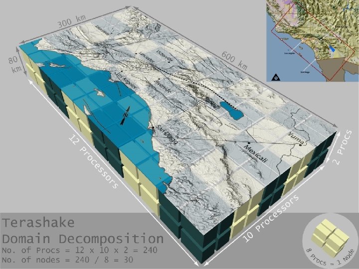
Parallel processing is the only way to use High Performance Computing to Deal with Big Data Parallel processing means that many tasks can be executed at once. Your brain is a parallel processor but your responses are serial
- Slides: 25