Basic Geography Skills Part I What is Geography

Basic Geography Skills Part I

What is Geography? Greek “Geo” “graphy” Earth To describe or write

Geography -TO DESCRIBE OR WRITE ABOUT THE EARTH Maps -the study of maps Cartography -Cartographer

The Continents • About one third of the earth is made up of land areas. • The large land areas are called continents. • There are seven continents.

The Seven Continents 1. North America 4. Europe 5. Asia 3. Africa 2. South America 6. Australia 7. Antarctica

Oceans • About two thirds of the earth is covered by water. • Oceans are the largest areas of water on the earth. • There are four oceans.

The Four Oceans D. Arctic Ocean A. Pacific Ocean B. Atlantic Ocean FYN – C. Indian Ocean If “Arctic” means near the bear, on which continent will you not find one? (For your noggin)

What if the world were boots?

What if the world were its own cultural diversity?

What if the world were doctors to patients ratios?

What if the world were the Black Holes of the internet?

What if the world were the number of Olympic Medals of the 2004 Games? Mrs. Simpson’s prediction of the USA Gold Medals for 2012 !

What if the world were Spam?

What if the world were sheet music?

What if the world were names of counties?

Europe

Europe

Australia

South America

You just thought you hated peas!

Compass Rose • A compass rose shows directions on a map. • CARDINAL DIRECTIONS – main directions • INTERMEDIATE DIRECTIONS – between directions

CARDINAL DIRECTIONS 1. NORTH 2. SOUTH 3. EAST 4. WEST

INTERMEDIATE DIRECTIONS 5. NORTHEAST 6. SOUTHEAST 7. NORTHWEST 8. SOUTHWEST

Map Key • A scale is the part of the map that determines distance. • Is also shows relative size – Zoom In/ Out. • A map key is also called a legend. • Symbols represent something else on the map. Scale

Political Maps Political maps show political or man-made features such as: • Boundary – a division between two areas • Country – a political division of an area under one government • State – a unit of a nation having a federal government

Physical Maps A physical map highlights the landforms of • landform – a natural an area. feature of the landscape • Elevation map – a specific type of physical map that shows height above or below sea level

Thematic Maps are also called special purpose maps because it illustrates a specific subject. b. precipitation a. Industry d. Fuel use c. Population change

1. 2. 3. 4. Atlantic Indian Pacific Arctic 5. Africa 6. Antarctica 7. Indian 8. North America

Compass rose pool 11 12 13 7 8 4 14 15 9 5 2 6 3 1 10 Start 3 5 1. NW _______ 9 2. NE _______ 3. W 8 _______ 4. W 7 _______ 11 5. NW _______ 6. E 12 _______ 7. SE 8 _______ 8. NE 13 _______

Compass rose pool 11 12 13 7 8 4 14 15 9 5 2 6 3 1 10 Start 15 1. W 14 _______ 2. SW 9 _______ 3. SW 5 _______ 4. E 6 _______ 5. NE 10 _______ 6. W 9 _______ 7. SW 5 _______ 8. SW 2 _______

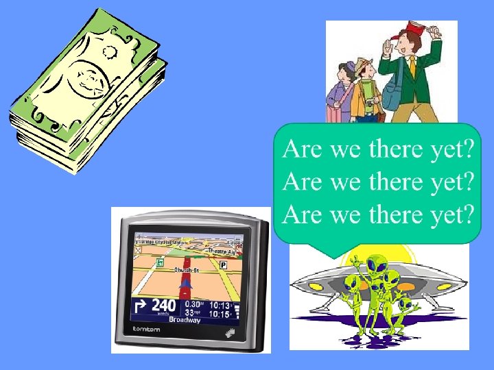
Are We There Yet? 1. City A to City B 2. City C to City A 3. City A to City D 4. City B to City E 5. City A to City E _______ _______ A B E D C

You hold the key! 3. political 1. thematic 2. physical

Color My World country plants Time zones land use rainfall people languages weather towns minerals canal cape cliff economics atoll basin pond energy exports hill city fjord politics gulf state coast religion oil mesa province delta race valley butte bay cultures gems peak nation river crops ridge county geyser industry coal bay island sea history glacier reef strait vegetation highway imports biome iron airports cars age resources capital
- Slides: 34