
Aviation Weather Friends and Partners John Foottit Manager


- Slides: 20
Aviation Weather Friends and Partners John Foottit Manager Aviation Weather Services Las Vegas, 13 Oct 2004 Management Confidential 1
Integration and Display • Mentally integrating disparate bits of weather information into an accurate and coherent picture for a specific route and altitude of flight is difficult for many pilots. • Hence the need for a very effective but expensive network of Flight Service weather briefers. 2
Integration and Display • Improve NWP models so that pilots can independently make most flight planning decisions and you have a strong business case for evolutionary change. • Hence Nav Canada’s investment in the Internet-based Automated Supplementary Enroute weather Prediction system (ASEP). 3
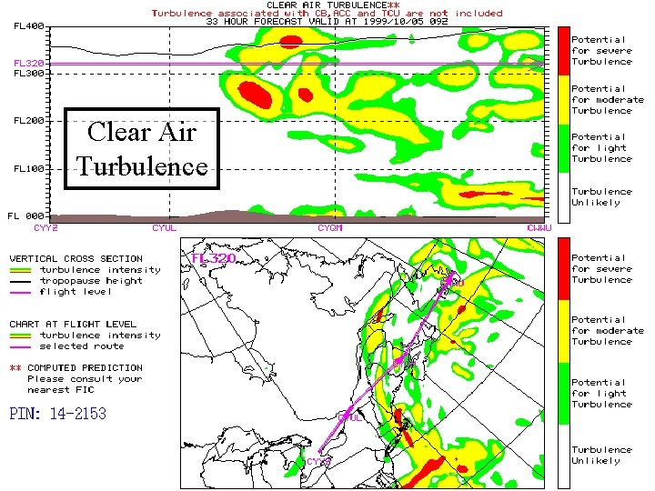
Clear Air Turbulence
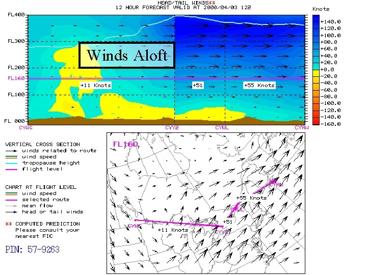
Winds Aloft
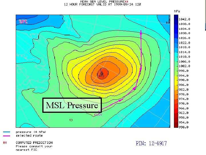
MSL Pressure
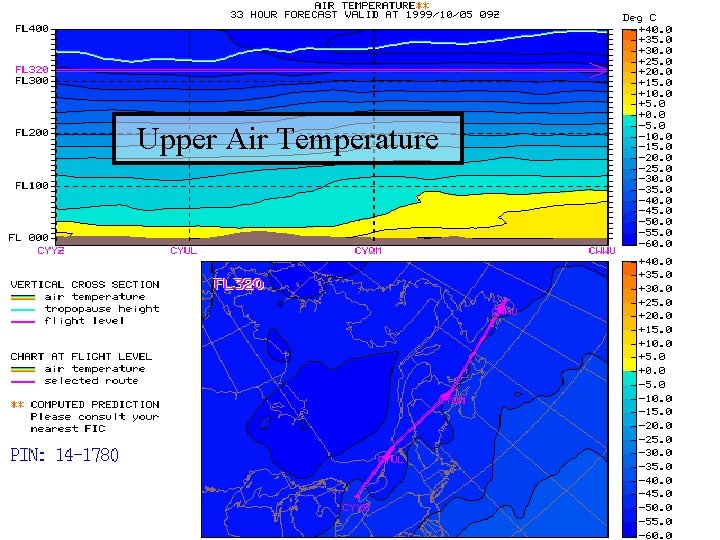
Upper Air Temperature
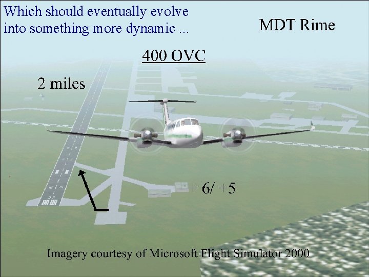
Which should eventually evolve into something more dynamic. . .
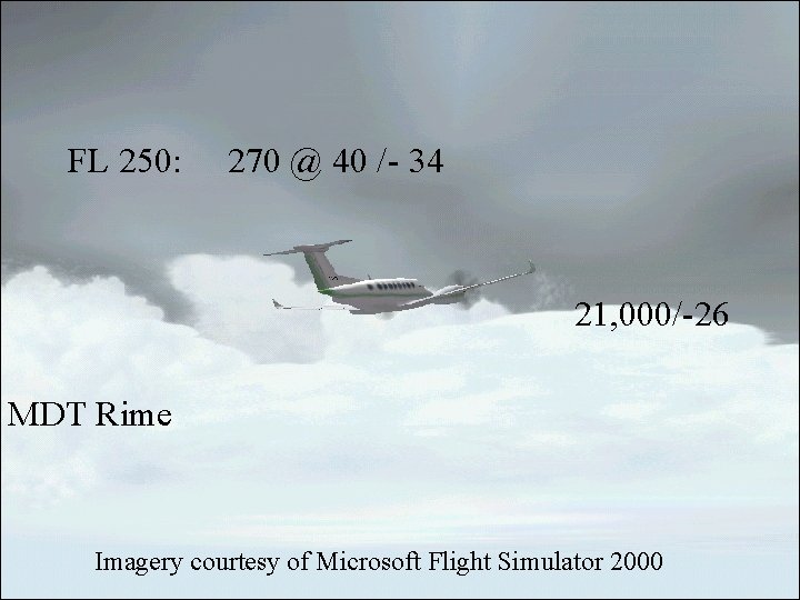
FL 250: 270 @ 40 /- 34 21, 000/-26 MDT Rime Imagery courtesy of Microsoft Flight Simulator 2000
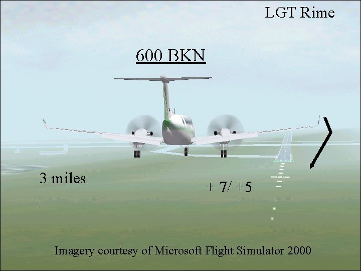
LGT Rime 600 BKN 3 miles + 7/ +5 Imagery courtesy of Microsoft Flight Simulator 2000
Integration and Display • The challenge is not only with the meteorological science, but with how to present information to the users so that it “speaks” to them. • For example, assuming that the aviation regulations can be changed to accommodate the use of probabilistic forecasts, how do we offer an intuitive display of such information? 11
Evaluation • There are so many different flight planning requirements … • For example, in Canada, VFR is not always 1000 feet and 3 miles - it depends upon the type of aircraft, the airspace, the terrain, and whether it is day or night. 12
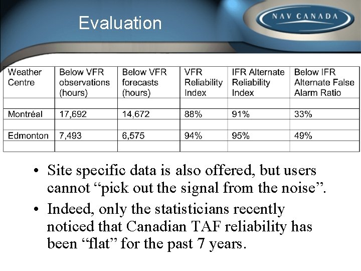
Evaluation • If the users are to evaluate a forecast, we’re going to have to design flexible performance measurement systems that allow them to tailor the output to meet their requirements. • For example, Nav Canada’s current system only produces canned reports in the form of columns of numbers. 13
Evaluation • Site specific data is also offered, but users cannot “pick out the signal from the noise”. • Indeed, only the statisticians recently noticed that Canadian TAF reliability has been “flat” for the past 7 years.
Evaluation • Nav Canada is therefore working with the Meteorological Service of Canada (MSC) to create a relational performance measurement data base. • Air carriers will then be able to obtain graphic trend information concerning such site specific variables as the reliability of forecasts for flight planning No Alternate IFR. 15
Evaluation • Clear, flexible forecast performance data should positively influence flight planning decisions, such as fuel upload (which affects fuel burn, which relates to greenhouse gas emissions). • This equation prompted Government environmental funding for 1/3 of the cost - we have partners we didn’t know about. 16
Questions? John Foottit Manager Aviation Weather Services 613 -5603 foottij@navcanada. ca www. navcanada. ca 17
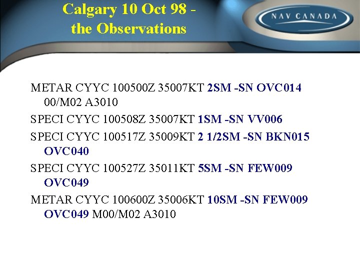
Calgary 10 Oct 98 the Observations METAR CYYC 100500 Z 35007 KT 2 SM -SN OVC 014 00/M 02 A 3010 SPECI CYYC 100508 Z 35007 KT 1 SM -SN VV 006 SPECI CYYC 100517 Z 35009 KT 2 1/2 SM -SN BKN 015 OVC 040 SPECI CYYC 100527 Z 35011 KT 5 SM -SN FEW 009 OVC 049 METAR CYYC 100600 Z 35006 KT 10 SM -SN FEW 009 OVC 049 M 00/M 02 A 3010
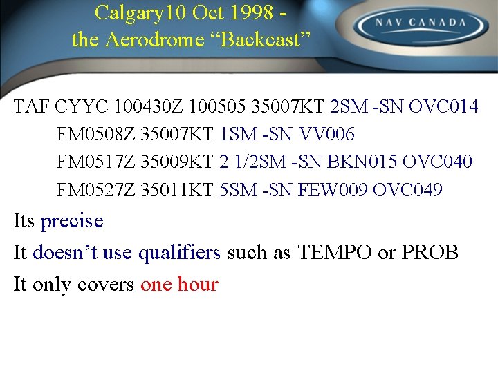
Calgary 10 Oct 1998 the Aerodrome “Backcast” TAF CYYC 100430 Z 100505 35007 KT 2 SM -SN OVC 014 FM 0508 Z 35007 KT 1 SM -SN VV 006 FM 0517 Z 35009 KT 2 1/2 SM -SN BKN 015 OVC 040 FM 0527 Z 35011 KT 5 SM -SN FEW 009 OVC 049 Its precise It doesn’t use qualifiers such as TEMPO or PROB It only covers one hour