
ARCGIS API FOR JAVASCRIPT BY KAYLA TOMLIN AND

ARCGIS API FOR JAVASCRIPT BY KAYLA TOMLIN AND KAITLIN SAGDAL

WHAT CATEGORY OF TECHNOLOGY DOES IT FALL UNDER? • API
OVERVIEW OF THE TOOL • Arc. GIS API for Java. Script is an API that uses Javascript functionality to access and display Arc. Online data • Easy to create and share 2 D and 3 D web apps • Geoprocessing capabilities • Ready to use Widgets • Web-based editing allows users to add and edit data

OVERVIEW OF 2 D MAP CODE

OVERVIEW OF 3 D MAP CODE
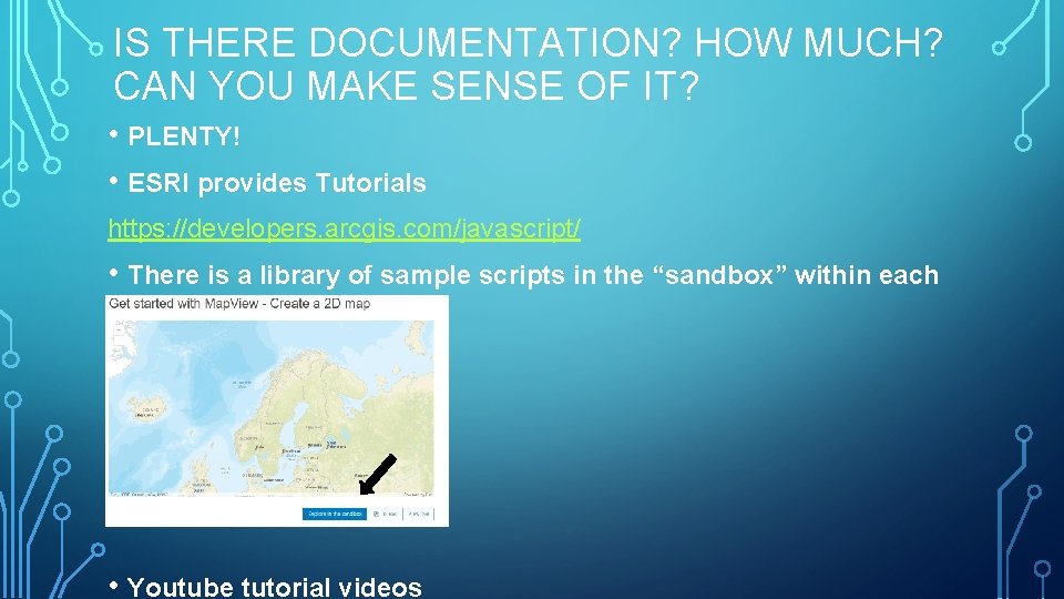
IS THERE DOCUMENTATION? HOW MUCH? CAN YOU MAKE SENSE OF IT? • PLENTY! • ESRI provides Tutorials https: //developers. arcgis. com/javascript/ • There is a library of sample scripts in the “sandbox” within each tutorial • Youtube tutorial videos
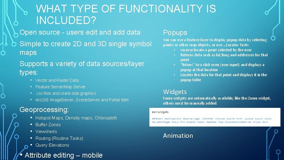
WHAT TYPE OF FUNCTIONALITY IS INCLUDED? Open source - users edit and add data Simple to create 2 D and 3 D single symbol maps Supports a variety of data sources/layer types: • • Vector and Raster Data Feature Server/Map Server. csv files and client-side graphics Arc. GIS Image. Server, Scene. Server and Portal Item Geoprocessing: • • • Popups You can use a feature layer to display popup data by selecting points or other map objects, or use …Locator Tasks • reverse locate a point selected by the user • Returns data such as lat/long and addresses for that point • “listens” to a click even (user input) and displays a popup at that location • Locates the data for that point and displays it in the popup table Widgets Some widgets are automatically available, like the Zoom widget, others must be manually added. Hotspot Maps, Density maps, Chloropleth Buffer Zones Viewsheds Routing (Routine Tasks) Query Elevations • Attribute editing – mobile Animation
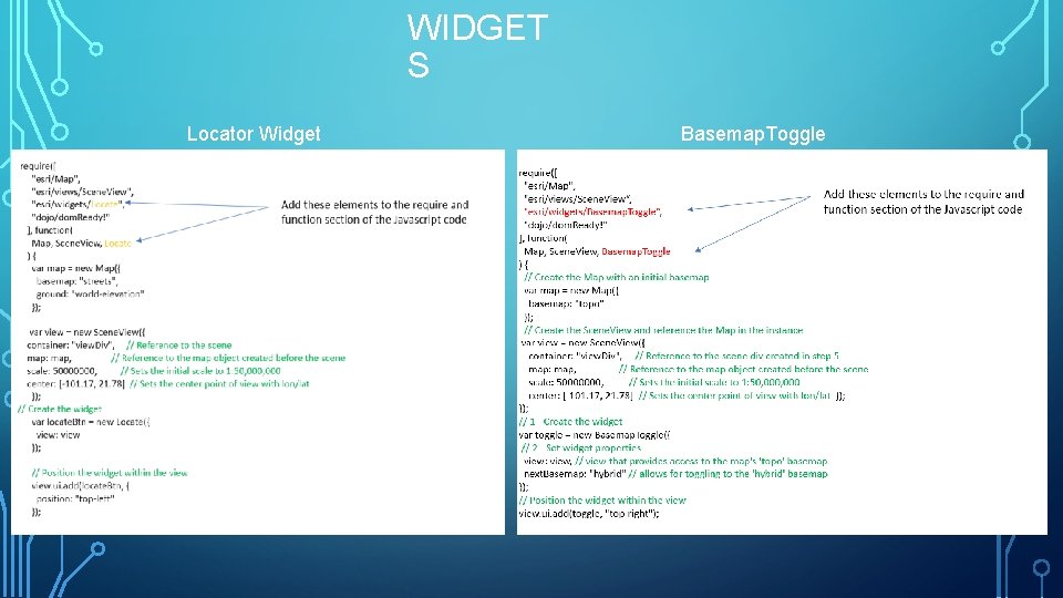
WIDGET S Locator Widget Basemap. Toggle Widget
WHAT, IF ANY, PROGRAMMING LANGUAGES ARE NEEDED TO USE? • HTML • Basic HTML skills • Javascript • You need to have a basic knowledge of Javascript. We were able to use tutorials and example script to get through. It would be helpful to understand the basics of Javascript.
WHAT CAN ‘MASH-UP’ WITH THIS TECHNOLOGY? • Arc. GIS API for Javascript can use your own Arc. GIS server or other servers. You can share a Arc. Map doc on you own Arc. GIS online server. • Webmaps with layers created from remotely hosted comma-separated values(CSV) files are supported. This includes fusion tables and CSV files hosted on the open web. • There is a script that allows you use Google maps as a base map Layer in your ESRI Java. Script API applications. • Arc. GIS online’s list of mashup options… Tiled map services, Dynamic map services, Feature layers, Graphics (SVG, canvas, etc. ), KML, Open street map, Bing, WMS / WMTS, Custom layers

ANYTHING ELSE • Attribute editing – mobile You can edit from a smart phone
- Slides: 11