Aquifers and Groundwater Upper 8000 meters of earths


 San Pedro Park Wells – Late 1800’s")


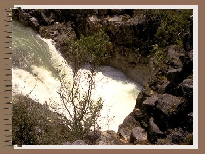
 Artesian/Reservoir area where water flows to the surface under pressure -")


")


 Lives in the Aquifer")


- Slides: 36
Aquifers and Groundwater Upper 8000 meters of earth’s crust has 20 times the amount of water than all lakes and rivers combined.
Water table -the point where all of the spaces between rock and sediment are filled with moisture. -The beginning of this zone of saturation is the water table. The level of water table is very important in productivity of wells, flowing of springs and level of streams and lakes. Shape is replica of surface topography. (Water “piles up” on hills. )
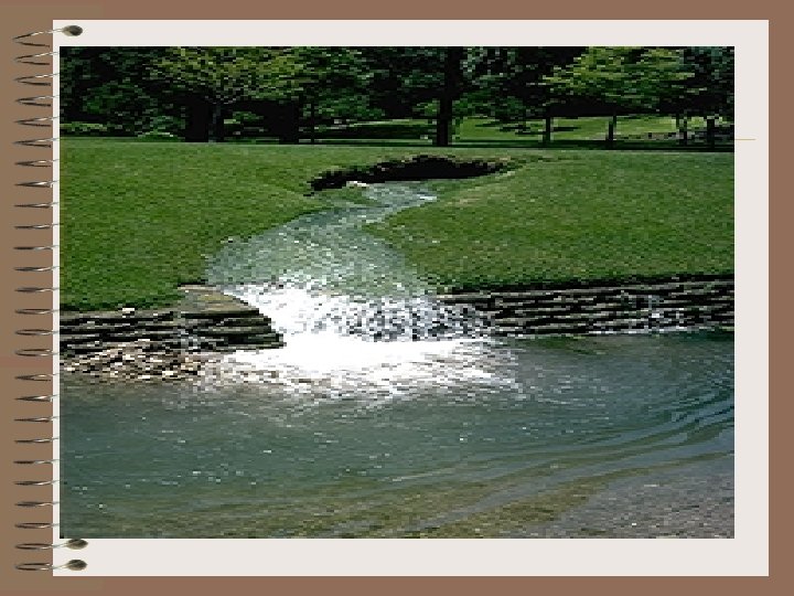
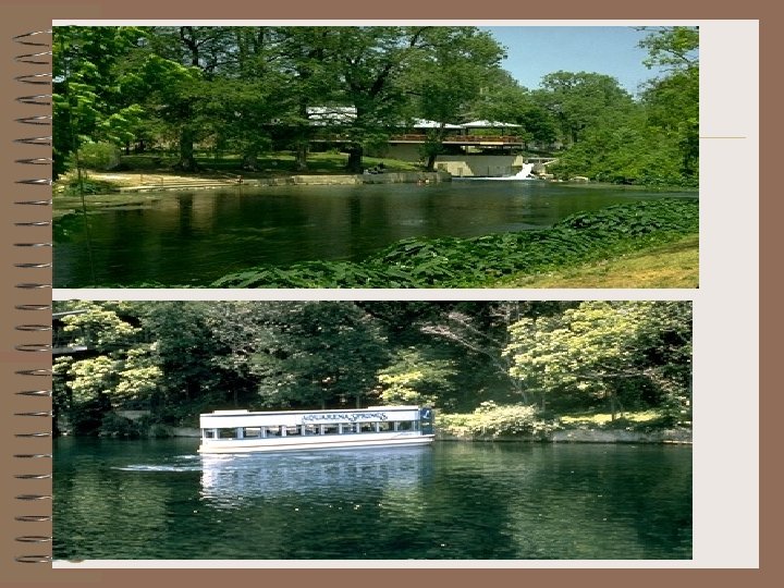
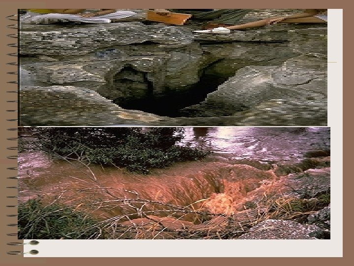
SPRINGS • Very mysterious to people who had no idea there was groundwater. • Formed where water table intersects the earths surface. • (could come from bottom or side of hill) • Creates lakes and rivers. ex. Comal, San Marcos, San Pedro, etc.
• https: //youtu. be/85 Uv 7 Vi 2 iw 8
• Aquiclude - Impermeable layer of rock or sediment. • Aquifer - permeable rock strata or sediment that transmits goundwater freely. • Wells – openings bored into the water table • Artesian wells - groundwater under pressure rises above the level of the aquifer.
Water wells from the Edwards Aquifer 1) San Pedro Park Wells – Late 1800’s 2) Catfish Farm – 30” pipe – 40, 000 gpm flow
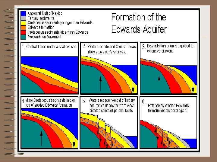
Aquifer is formed from porous limestone
The Edwards Limestone layer has many large and small channels where water is stored
Wells give San Antonio it’s supply of water
In some places Artesian wells create streams or lakes because water is under pressure
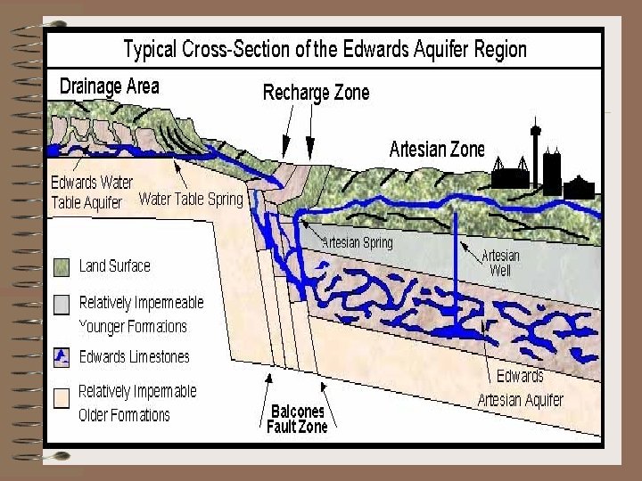
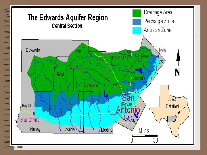
San Antonio lies on the Edwards Aquifer • There are three zones to every aquifer: • 1) Drainage - area where water runs off. Hill Country or Edwards Plateau • 2) Recharge - area where waters flows through cracks and crevices in ground. Balcones Fault zone
• 3) Artesian/Reservoir area where water flows to the surface under pressure - Gulf coastal plain ( Where S. A. sits)
Recharge Zone has highly cracked and porous areas.
Pollution of Aquifer
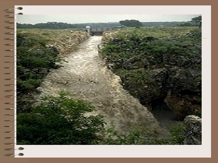
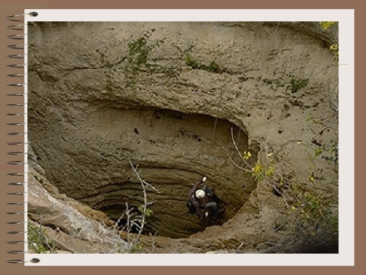
Recharge Dams • Recharge dams are built over the recharge area for the purpose of diverting water into the aquifer through sinkholes.
Species found in & near the Edwards aquifer • Many species are threatened due to the excessive pumping from the Edwards aquifer. • Species include:
Texas Blind Salamander (lives in the aquifer)
San Marcos Gambusia Lives in spring lake
Fountain Darter lives in spring flow of San Marcos & Comal rivers
Texas Blind Catfish (Widemouth Blindcat) Lives in the Aquifer
https: //youtu. be/Nz. YWOM 2 Tm. Jk
Pumping in excess lowers spring flow. • Irrigation for crops
Industrial water use
and domestic use for San Antonio & surrounding communities
Monitoring the Aquifer This site monitors: - Rainfall - Aquifer level - Air Temp. This data is collected by calling a cell phone connected to a data recorder.
Measuring the aquifer level • The ‘aquifer level’ quantified by measuring the water table in feet above sea level. • Measured by placing a water probe into the well until it detects water • J-17 Index Well – non-artesian well near Fort Sam Houston where the water level is officially recorded.
Pumping Statistics Total gallons pumped out of the Edwards Aquifer by SAWS on 9/30/15 = 274, 300, 000 gal. Total gallons pumped out of the Edwards Aquifer by SAWS so far in 2015 = 55, 832, 080, 000 gal.