AP HUMAN GEOGRAPHY Unit 1 Geography Its Nature


 maps use continuous lines (sometimes called isolines or contours) to")


: is analysis of data about Earth acquired through satellite and")


- Slides: 63
AP HUMAN GEOGRAPHY Unit 1 Geography: Its Nature and Perspective
Unit I Enduring Understandings Geography: Its Nature and Perspectives Early History of Geography ■ Greeks and Romans were first in western Eurasia ■ Homer’s Iliad and Odyssey ■ Aristotle observed Earth’s features and how they influenced human behavior ■ Eratosthenes used geometry to calculate Earth’s circumference and coined the term geography ■ Ptolemy, 500 years after Eratosthenes, summarized Greek knowledge of geography, including locations and sizes of continents; dominated European thought for 1, 000 years. ■ Age of Exploration ■ Christopher Columbus (1492) launched a new era in exploration, mapping, and description. ■ Magellan first to circumnavigate the earth ■ Gerardus Mercator – created a world map for sailors and is still widely used today ■ More Recently ■ Carl Sauer (1889 -1975) expanded the focus of geography beyond physical traits of the earth to include human activity Geography, as a field of inquiry, looks at the world from a spatial perspective B. Geography offers a set of concepts, skills, and tools that facilitate critical thinking and problem solving C. Geographical skills provide a foundation for analyzing world patterns and processes D. Geospatial technologies increases the capability for gathering an analyzing geographic life information with applications to everyday E. Field experiences continue to be important means of gathering geographic information and data
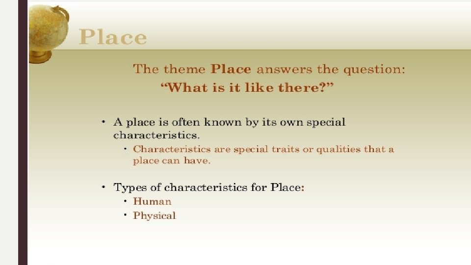
5 Themes of Geography
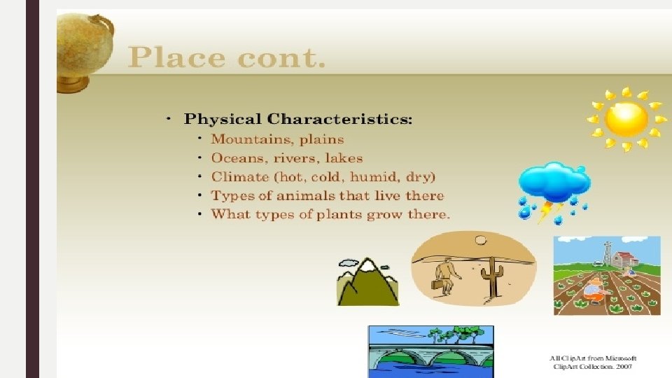
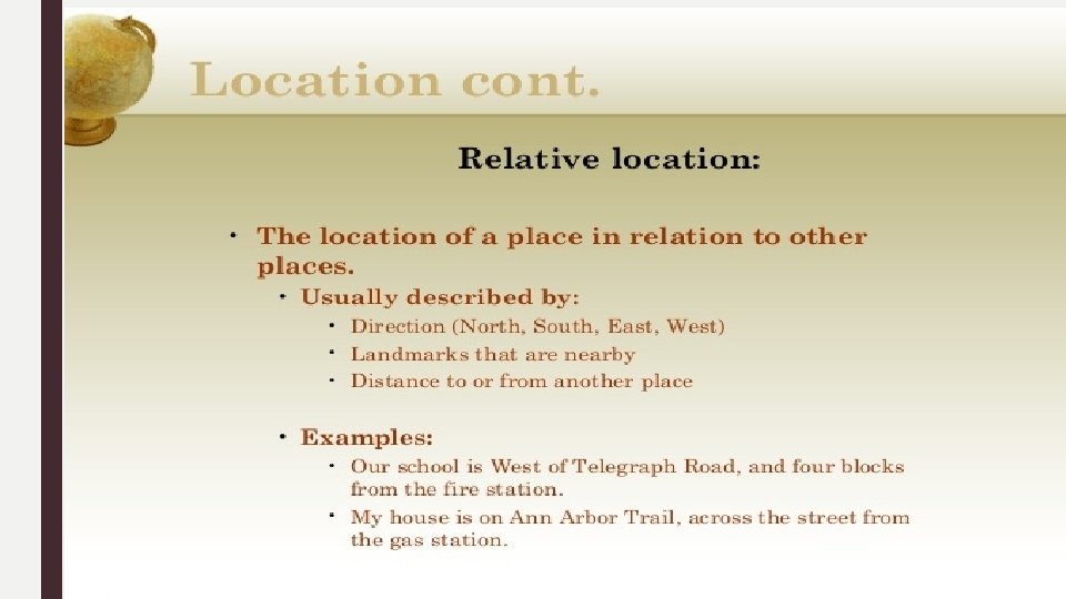
Place refers a specific point on Earth, distinguished by a particular characteristic. Every place occupies a unique location, or position, on Earth’s surface. Differentiates each location from another, like a finger print! Sound smell images you can develop a sense of place from somewhere you’ve never been tv=s, books, movies, people ■ Site the characteristics at the immediate location. ■ EX the location of a city, often chose for trade, defense or religion. ■ ■ ■ EX: Climate, labor force, soil type, human structures, water sources, topography, vegetation, latitude and elevation. The combination of physical features gives each place a distinctive character EX: Humans have the ability to modify the characteristics of site. Cities like Boston, New York and San Francisco have all added lands to marshes, bays etc to add to their land China in South China Sea, Island building 1: 17: http: //www. cnn. com/2015/10/28/asia/china-southchina-sea-disputes-explainer/index. html ■ Situation a way of describing where a place is based on the physical characteristics of the surrounding area. It is valuable way to indicate location, for two reasons 1. Finding an familiar place: Giving direction based on current situation of place, It’s down past the courthouse, on Main St after the 3 rd stoplight 2. Understanding the importance of a place: Situation helps us understand the importance of a location. Some just because they are accessible to other places. EX: Istanbul is center for trading & distribution of goods between Asia, and Europe along the Bosporus Strait connecting the Mediterranean and Black seas and Russia
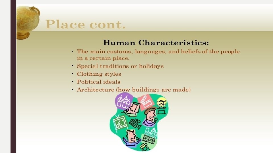
Places / Placelessness/ Mental Maps / Toponym ■ Place refers to all the Human and Physical Attributes in a Location ■ Often the human and physical attributes in a location give it a since of place that is different from other places ■ Human attributes can include elements like religions, languages, political organizations, clothing etc. ■ Placelessness ■ The loss of uniqueness of place in the cultural landscape every place looks, sounds, smells the same ■ With mass communication and the increasingly high technology, places become more and more similar so that locations lose distinctive since of place ■ Mental Maps: A representation of a portion of Earth’s surface based on what an individual knows about a place that contains personal impressions of what is in the place where the place is located ■ No two mental maps will be the same ■ A Toponym is the name of something on the Earth
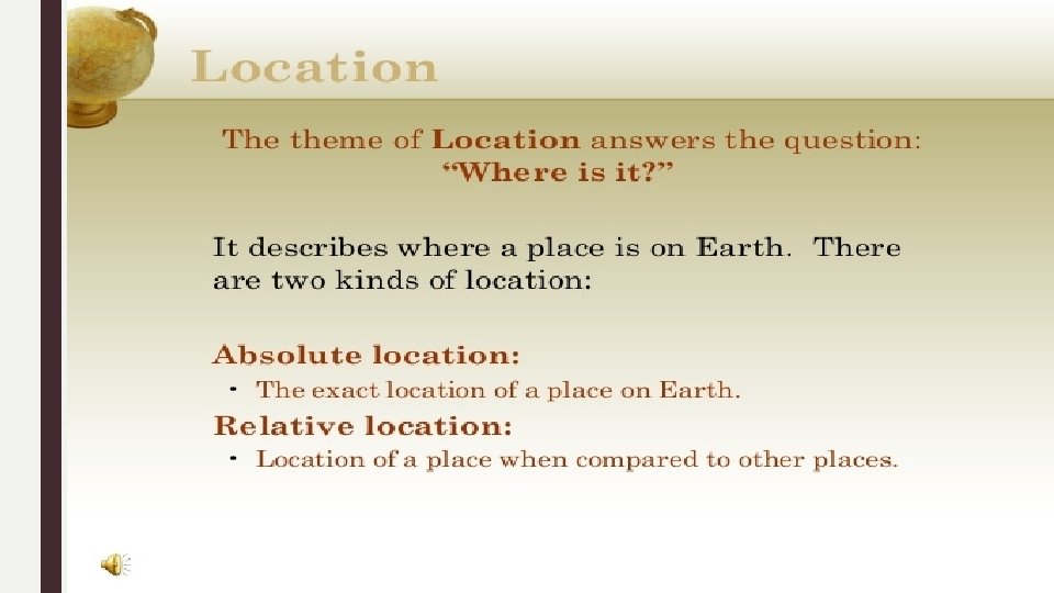
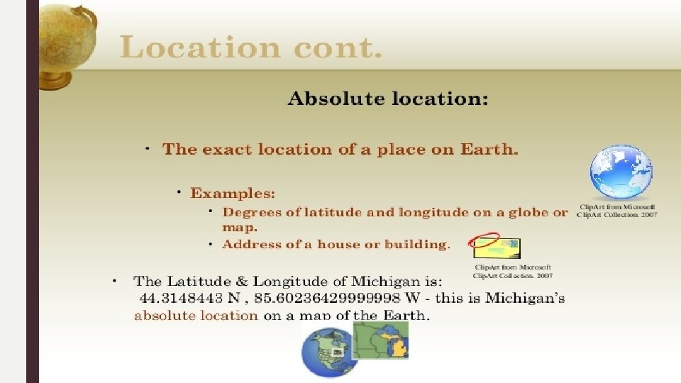
Latitude and Longitude Latitude: the numbering system used to indicate the location of parallels drawn on a globe and measuring distance north and south of the Equator 0 degrees. Parallel: circle drawn around the globe parallel to the equator and at right angles to the meridians Longitude: The numbering system used to indicate the location of meridians drawn on a globe and measuring distance east and west of the prime meridian 0 degrees, Greenwich England
International Date Line / Time Zones
Density: is the number of things—which could be people, animals, plants, or objects—in a certain area. The frequency something occurs ■ Arithmetic density: Number of objects in an area, commonly used to compare distribution of population in different countries. (# people / sq. kilometer / mile ■ Physiological density: Number of persons per unit of area suitable for agriculture. Could mean a country has difficulty growing enough food. ■ Agricultural density: Number of farmers per unit area of farmland. Could mean that a country has inefficient agriculture. ■ Housing density-: Number of dwelling units per unit of area -- may mean people live in overcrowded housing ■ Pattern How things are arranged in space ■ Described by geometric shapes like linear, such as the arrangement of houses along a street or squares of many cities blocks. Lack of pattern = Random ■ Concentration: how closely things are related to one another a space. Clustered or Disbursed ■ Distribution refers to the way something is spread out or arranged over a geographic area. The concept of distribution can be applied to nearly everything on Earth, from animal and plant species, to disease infections, weather patterns, and man-made structures
Density Maps
Density Maps
Space-Time Compression is the reduction in time it takes for something to reach another place because of a change in technology Proximity The nearness to important features. Distance can be measured in terms of geography and is given in a type of measurement, such as miles, meters or kilometers, It may be a straight line (as the crow flies) or travel distance using a route that turns and twists, (Milwaukee to Kalamazoo is 139 miles by air but 250 by car because the route goes around the tip of Lake Michigan Space-Time Compression Proximity
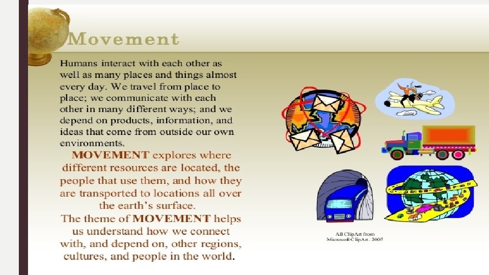
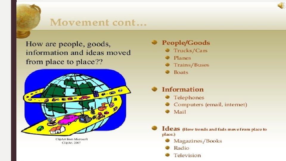
Movement Connectivity Directness of routes linking pairs of places Accessibility: The relative ease with which a destination may be reached from other locations
Movement Friction of Distance is based on the notion that distance usually requires some amount of effort, money, and/or energy to overcome. Because of this "friction, " spatial interactions will tend to take place more often over shorter distances; quantity of interaction will decline with distance. Distance Decay occurs when the intensity of some phenomenon decreases as distance from it increases. Going to a sporting event is highly drawing, while going to a fast food restaurant is not
Diffusion is the process by which a characteristic spreads across space from one place to another over time. Elrod 10 min: https: //www. youtube. com/watch? v=lkf_p 79 j. KVU Types of Diffusion Relocation Diffusion: The diffusion of a characteristic as people move from place to place Example – spread of Spanish language to South America
Expansion Diffusion: spread of a characteristics from hearth through various means
Types of Expansion Diffusion Contagious Diffusion: The rapid, widespread diffusion of a characteristic through the population Hierarchal Diffusion: The spread of an idea from persons or nodes of authority or power to other persons or places
Stimulus Diffusion: Takes part of an idea and spreads that idea to create an innovative product. Example: Rap music. Can you think of any more?
A hearth is the place which an innovation or cultural change originates.
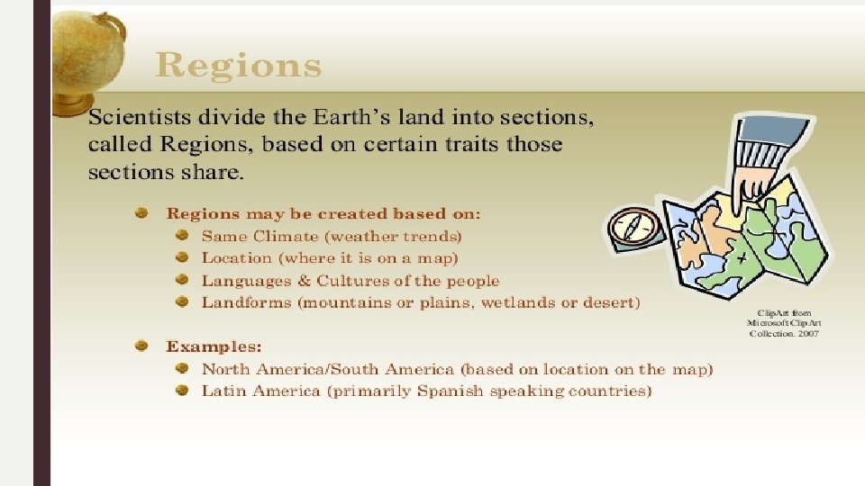
“The physical features, economic features, and cultural features that make up a region are called its cultural landscape. ” ■ Types of Regions ■ Formal Regions also called Uniform Region is an area within which everyone shares in common one or more distinctive characteristics. (common language, economic activity like producing a similar crop, or environmental property like a climate. ■ Functional Regions: are organized around a focal point and are defined by an activity that occurs across the region. These regions are often united by networks of communication and transportation that are centered on a node so they are also known as nodal
Perceptual or Vernacular Regions : Defined by an informal sense of place that people believe exists as part of their cultural identity (U. S. Cultural, Political Landscape 8 min https: //www. youtube. com/watch? v=BZwvl 4 f 88 Cc&feature=youtu. be
World Regions and Sub Regions World Regions Sub-regions share some characteristics with the rest of the large region but is distinctive in some ways
Map Essentials
Globes vs maps
Map Distortions Why all maps are wrong 4 min: https: //www. youtube. com/watch? v=k. IID 5 FDi 2 JQ ■ Distortion: It is impossible to take the Earth’s round surface and project it onto a flat surface without distortion, or error resulting from the “flattening process ■ “Projection is the scientific method of transferring location on Earth’s surface to a flat map ■ Four Properties of Maps ■ Shape: geometric shapes of objects on the map ■ Size: relative amount of space taken up on a map by landforms or objects ■ Distance: the represented distance between objects on the map ■ Direction: degree of accuracy representing the cardinal directions ■ Cartographers must decide which properties of maps to distort by thinking about the map’s purpose
Mercator Projection
Goode’s Projection Map
Interrupted Projection
Gall Peters Projection West wing 4 min: https: //www. youtube. com/watch? v=v. VX-Pr. BRt. TY
Peters Projection
Comparing Maps
Map Projections
Azimuthal map projection It has the useful properties that all points on the map are at proportionately correct distances from the center point, and that all points on the map are at the correct azimuth (direction) from the center point. A useful application for this type of projection is a polar projection which shows all meridians (lines of longitude) as straight, with distances from the pole represented correctly Fuller Projection Map Azimuthal map projection
COMPARING MAP PROJECTIONS Strengths Distortion Navigation Spatial Distributions Related to Area General Use in Midlatitude Countries General Use Directions are shown accurately Lines of latitude and longitude meet at right angles Sizes of land masses are accurate Lines of longitude converge Lines of latitude are curved Size and shape are both close to reality No major distortion Oval shape appears more like a globe that Projections Distance between lines of longitude appears constant Land masses near the poles appear large Mercator Shapes are inaccurate, especially near the poles Peters Direction is not constant On a world map, longitude lines converge at only one pole Area, shape, size, and direction are at slightly Conic Robinson
A map-scale shows the relationship of a feature’s size on a map to its actual size on Earth
Reference Maps: are designed for people to refer to for general information about places Show and label human created boundaries and designations Political Maps such as countries, states, cities and capitals Physical Maps Show and label natural features, such as mountains, rivers, and deserts Road Maps Show and label highways, streets and alleys Plat Maps Show and label property lines and details of land ownership Locator Maps Are illustrations used in books and advertisements to show specific locations mentioned in the text
Political maps are designed to show governmental boundaries of countries, states, and counties, the location of major cities, and they usually include significant bodies of water Physical Maps: focuses on the geography of the area and will often have shaded relief to show the mountains and valleys Political Map Physical Map
More Maps! Plat Map Show and label property lines and details of land ownership Locator Map illustrations used to show specific locations mentioned in the text
Road Map: designed for motorists, showing the roads of a city, state, or other area. Topographic Map are detailed, accurate graphic representations of features that appear on the Earth's surface. These features include: cultural: roads, buildings, urban development, railways, airports, names of places and geographic features, administrative boundaries, state and international borders, reserves. Road Map Topographic Map
A thematic map is a map that emphasizes a particular theme or special topic such as the average distribution of rainfall in an area. They are different from general reference maps because they do not just show natural features like rivers, cities, political subdivisions and highways .
Choropleth Map is a thematic map in which areas are shaded or patterned in proportion to the measurement of the statistical variable being displayed on the map, such as population density per-capita income A Cartogram is a map in which some thematic mapping variable – such as travel time, population, or Gross National Product – is substituted for land area or distance. The geometry or space of the map is distorted in order to convey the information of this alternate variable. Choropleth Map Cartogram Map
Dot distribution map, or dot density map, is a map type that uses a dot symbol to show the presence of a feature or phenomenon. Dot maps rely on a visual scatter to show spatial pattern
Isoline (meaning "equal line") maps use continuous lines (sometimes called isolines or contours) to represent regional differences across a continuous surface. Lines connect places that have the same value of a given feature: temperature or rainfall.
Geospatial Techniques Type GPS: Global Positioning System Remote Sensing GIS: Geographic Information Systems Description Uses GPS receivers on the earth’s surface use the locations of multiple satellites to determine and record a receiver’s exact location Precisely locating borders Navigating ships, aircraft, cars Mapping lines (trails) or points (fire hydrants) Determining land cover and use Monitoring environmental changes Assessing spread of spatial phenomena Monitoring the weather Analysis of crime data Effects of pollution Transportation/travel time analysis Urban planning The use of cameras or other sensors mounted on aircraft or satellites to collect digital images of the earth’s surface Computer system that can store, analyze, and display information from multiple digital maps or geospatial data sets. Allows person to visualize patters, relationships and trends
GIS / GPS
Geographic Information Science (GIScience): is analysis of data about Earth acquired through satellite and other electronic information technologies ■ Geocaching: the recreational activity of hunting for and finding a hidden object by means of GPS coordinates posted on a website ■ Collecting and Sharing Data: VGI ■ Volunteered Geographic Information (VGI) is the creation and dissemination of geographic data contributed voluntarily and for free by individuals. VGI is part of a broader trends of citizen science which is scientific research by armature scientists and Participatory GIS (PGIS) which is community based mapping. Citizen science and PGIS collect and disseminate local knowledge and information trough electronic deices ■ Mashup: is a map that overlays data from one source on top of a map provided by a mapping service, The term mashup comes from hip-hop practice of mixing two or more songs.
Regions of Culture ■ Culture: a body of beliefs, materiel trails, and social forms that together constitute the distinct traditions of a group or people ■ Culture is what people care about ■ Geographers study why customary ideas, beliefs and values of a people produce a distinctive culture in a particular location a place ■ Language: communication ■ Religion: beliefs and practices ■ Ethnicity: language, religion, physical traits ■ Culture: What people take care of ■ Material wealth food, clothing, shelter ■ Developed vs. developing regions
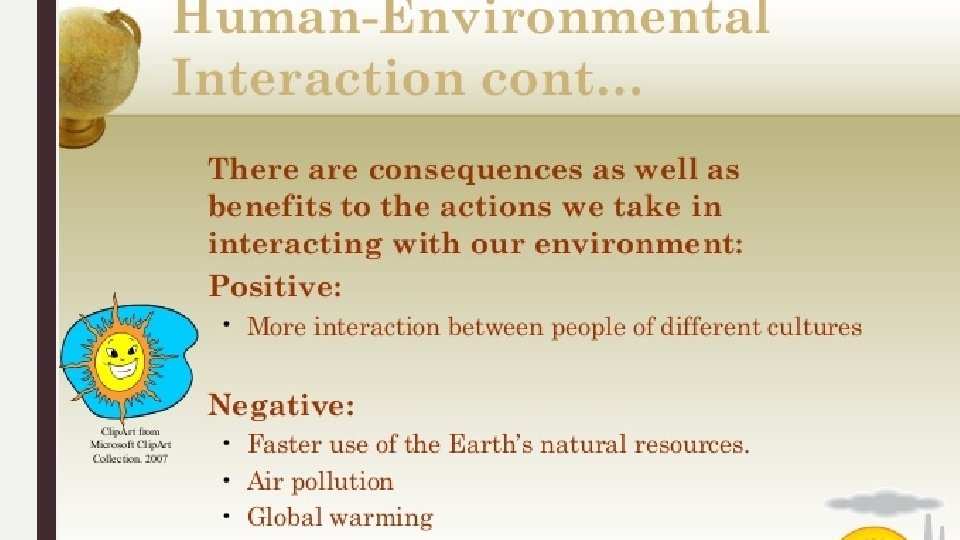
Pros and Cons of Globalization
Sustainability is the use of Earth’s resources in ways that ensure their availability in the future. Patterson 17 min https: //www. youtube. com/watch? v=6 Hu. Kph. KJn. Qk
Renewable resource: is produced in nature more rapidly than it is consumed by humans (wind, hydro, wood, solar, geothermic) Nonrenewable Resource is produced in nature more slowly than it is consumed by humans (oil, gas, minerals, coal)
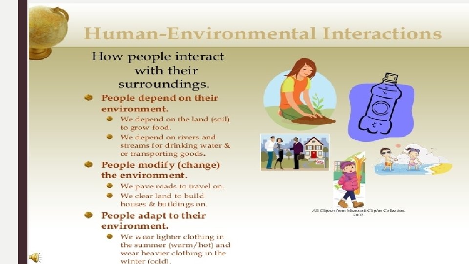
Cultural Ecology ■ Geographic study of human environment relationships – combing culture and environment ■ Environmental determinism: A 19 th- and early 20 th-century approach to the study of geography that argued that the general laws sought by human geographers could be found in the physical sciences. Geography was therefore the study of how the physical environment caused human activities. Physical environment causes social development ■ Possibilism- The physical environment may limit some human actions, but people have the ability to adjust to their environment (this is a rejection of environmental determinism) EX: people learn to adjust and grow different crops depending on climate Why plant a front yard? Why not let it grow? How do your cultural values impact the environment?
Modifying the Environment The Netherlands Sustainable Ecosystem ■ Polder: Land created by draining water ■ Dikes; walls to hold back the water ■ Concerns about rising sea water from global warming ■ https: //www. cbsnews. com/news/sea-change-how-thedutch-confront-the-rise-of-the-oceans/
Helpful Videos / Overviews ■ Patterson Chapter 1 Unit Issue 1 Maps: https: //www. youtube. com/watch? v=XXht. ZXv. N 1 ZI ■ Chapter 1 Key Issue 2 - Basic Concepts: https: //www. youtube. com/watch? v=Fw 0 CGz-ed. Ss ■ Patterson Chapter 1 Issue 3 Why are different places similar: https: //www. youtube. com/watch? v=9 A 9 J 8 I-p. Tz. U ■ Patterson Chapter 1 Key Issue 4, Sustainability: https: //www. youtube. com/watch? v=6 Hu. Kph. KJn. Qk ■ Crash Course Unit 1: https: //www. youtube. com/watch? v=Mzxll. Mg. K 4 TQ&list=PLsnl 7 o. Hc. NUt-rjj_h. Iub. KHy. GMRj. R 7 y. QVH&index=22 ■ Crash Course Unit 1 Part 2: https: //www. youtube. com/watch? v=Td. V 6 y. Azy. Bas&index=30&list=PLsnl 7 o. Hc. NUt-rjj_h. Iub. KHy. GMRj. R 7 y. QVH ■ Maps That Prove You Don't Really Know Earth 3 min https: //www. youtube. com/watch? v=KUF_Ckv 8 Hb. E ■ Geospatial Revolution / Episode One ■ https: //www. youtube. com/watch? v=po. MGRbfgp 38&list=PL 0 C 0 A 2 A 71 BD 0 BC 488&index=1 ■ Stratfor Geographic Challenges videos: Pakistan's Geographic Challenge ■ Did You Know? Shift Happens, 2014 https: //www. youtube. com/watch? v=Pc. Zg 51 Il 9 no ■ Mr. White 15 Minute Review of Unit 1: https: //www. youtube. com/watch? v=Lp 5 v 00 LMdl. M ■ Mr. White: Diffusion: 10: 44: https: //www. youtube. com/watch? v=Ehi. Je. Uuv. Cm. I ■ Mr. White’s Maps and distortion 14 min: https: //www. youtube. com/watch? v=02 q. KTIdjv 8 U ■ Mr. White’s Regions and Thematic Maps 14 min: https: //www. youtube. com/watch? v=Kx. F 1 W 4 mbvw. E Review video for Unit 1 test: https: //www. youtube. com/watch? v=44 j 7_9 nn. I 34