
Andrew Mc Lean Kelvin Barraclough Gisborne Secondary College
Andrew Mc. Lean Kelvin Barraclough Gisborne Secondary College
What is GPS? • 24 + satellites
What is GPS? • 24 + satellites • Several ground stations
What is GPS? • 24 + satellites • Several ground stations • GPS receiver
Satellites • Altitude ≈ 20200 km
Satellites • Altitude ≈ 20200 km • Period 12 hours
Satellites • Altitude ≈ 20200 km • Period 12 hours • At least 4 visible everywhere
Satellites • • Altitude ≈ 20200 km Period 12 hours At least 4 visible everywhere Solar powered, ≈ 50 W transmitter
Satellites • • • Altitude ≈ 20200 km Period 12 hours At least 4 visible everywhere Solar powered, ≈ 50 W transmitter Transmit on 1575. 42 MHz
Satellites • • • Altitude ≈ 20200 km Period 12 hours At least 4 visible everywhere Solar powered, ≈ 50 W transmitter Transmit on 1575. 42 MHz Fitted with atomic clocks
Satellites • • Altitude ≈ 20200 km Period 12 hours At least 4 visible everywhere Solar powered, ≈ 50 W transmitter Transmit on 1575. 42 MHz Fitted with atomic clocks Lifespan ≈ 10 years
Ground Stations • I master station, four remote
Ground Stations • I master station, four remote • Monitor satellites and send back accurate orbital and time data
The Signal • The “almanac”. Approximate position of all satellites, transmitted and stored in the GPS.
The Signal • The “almanac”. Approximate position of all satellites, transmitted and stored in the GPS. • The “ephemeris”. Accurate data of individual satellite position.
The Signal • The “almanac”. Approximate position of all satellites, transmitted and stored in the GPS. • The “ephemeris”. Accurate data of individual satellite position. • The “pseudo random code”. Effectively, an accurate time signal
The Signal • The “almanac”. Approximate position of all satellites, transmitted and stored in the GPS. • The “ephemeris”. Accurate data of individual satellite position. • The “pseudo random code”. Effectively, an accurate time signal • Turned off while satellite orbit is adjusted
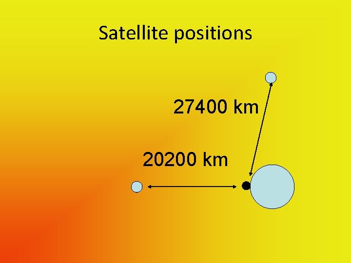
Satellite positions 27400 km 20200 km
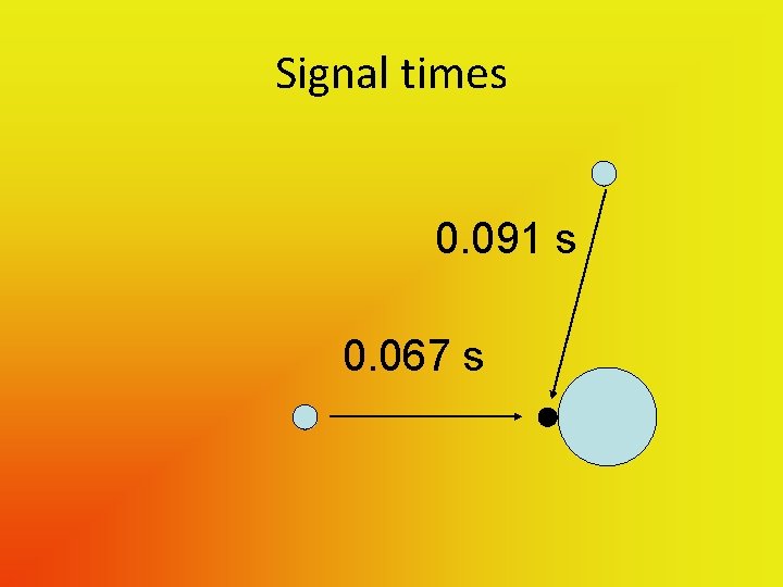
Signal times 0. 091 s 0. 067 s
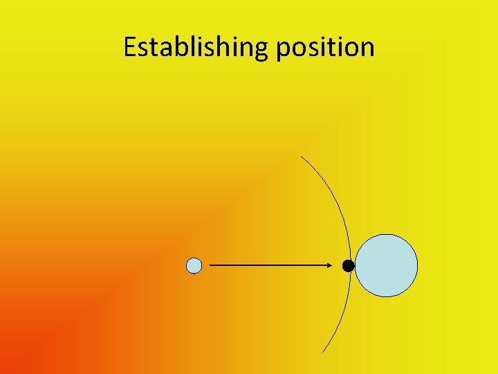
Establishing position
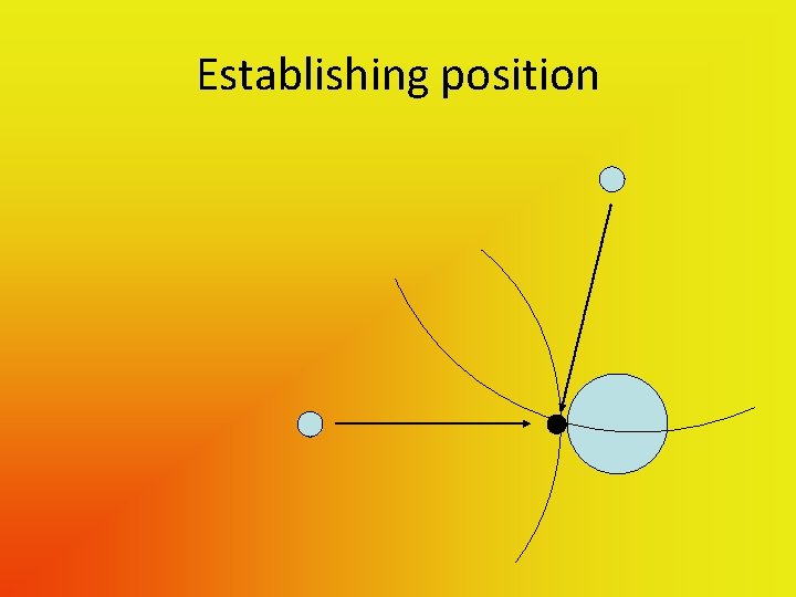
Establishing position
Establishing position • If receiver had a good enough clock – • Two satellites – somewhere on a circle
Establishing position • If receiver had a good enough clock – • Two satellites – somewhere on a circle • 3 rd satellite – cuts this circle twice, but usually one solution is obvious
Establishing position • If receiver had a good enough clock – • Two satellites – somewhere on a circle • 3 rd satellite – cuts this circle twice, but usually one solution is obvious • 4 th satellite – removes ambiguity
Establishing position • With a small, cheap clock -
Establishing position • With a small, cheap clock – • 3 satellites give 2 D fix
Establishing position • With a small, cheap clock – • 3 satellites give 2 D fix • 4 satellites give 3 D fix
Accuracy • Given clear view of sky typically 5 – 10 m
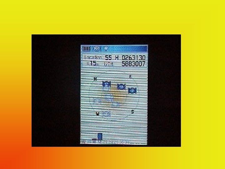
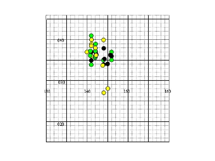
Receivers • Aren’t equal
Receivers • Aren’t equal • Need “good view” of sky
Possible information • Position
Possible information • Position • Distance travelled
Possible information • Position • Distance travelled • Speed
Possible information • • Position Distance travelled Speed Direction
Possible information • • • Position Distance travelled Speed Direction Altitude
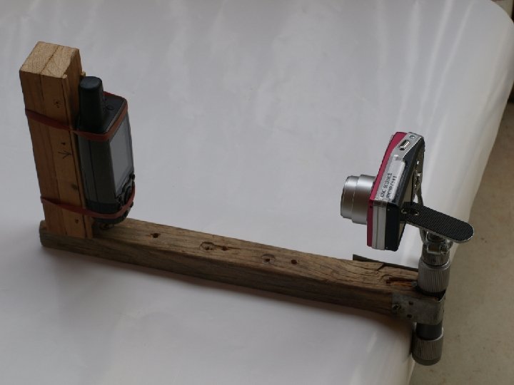
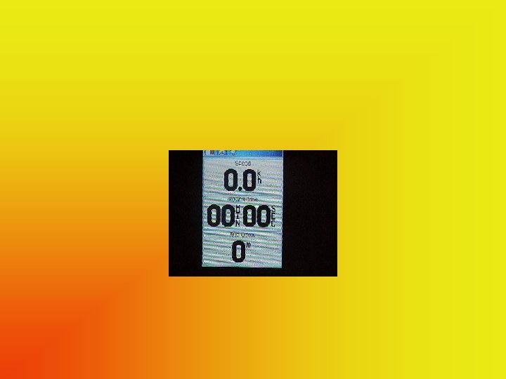
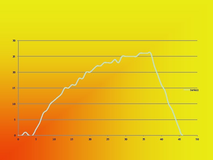
Gathering data – “low tech”
30 25 20 15 Series 1 10 5 0 0 5 10 15 20 25 30 35 40 45 50
Gathering data – “hi tech” • Almost all GPS receivers can be connected to a computer to transfer data
Suitable software (1) • “Ozi. Explorer”
Suitable software (1) • “Ozi. Explorer” • $130
Suitable software (1) • “Ozi. Explorer” • $130 • Uses raster mapping
Suitable software (1) • • “Ozi. Explorer” $130 Uses raster mapping Suitable for all brands of GPS
Suitable software (1) • • • “Ozi. Explorer” $130 Uses raster mapping Suitable for all brands of GPS Transferring data from Ozi is awkward
Suitable software (2) • Garmin “Mapsource”
Suitable software (2) • Garmin “Mapsource” • Free with Garmin GPS
Suitable software (2) • Garmin “Mapsource” • Free with Garmin GPS • Uses Vector mapping
Suitable software (2) • • Garmin “Mapsource” Free with Garmin GPS Uses Vector mapping Allows easy transfer of data to other programs (eg Excel)
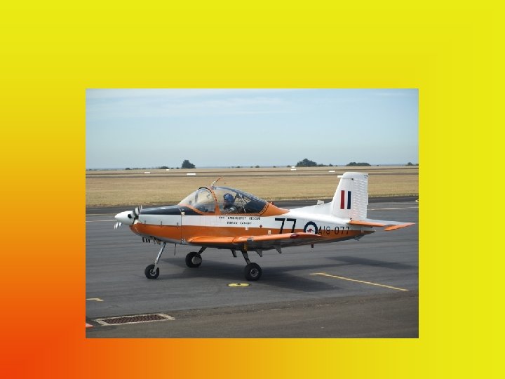
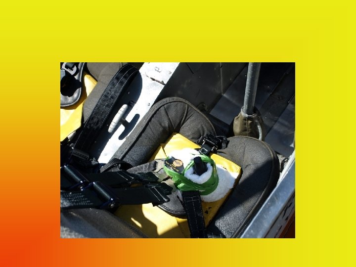
Some possibilities • • Real aircraft - loop the loop Model aircraft Racing cars, dragsters, motorbikes Skydivers, bungee jumpers Yacht racing Theme park rides Relative motion on moving ship
Cost? • • Cheap GPS ≈ $100 Garmin GPS Map 60 CSx ≈ $470 Ozi. Explorer $130 Oztopo maps for Garmin (all of Australia) $229
- Slides: 55