Ancient China Introduction Geography Map 1 Shade each


- Slides: 12
Ancient China Introduction Geography
Map #1 Shade each a different colour and label: China, Japan, India, Mongolia, Russia, North Korea, South Korea, Taiwan, Kazakhstan, Vietnam, Cambodia, Thailand, and Nepal. Mark on the map: the Himalayas and the Gobi Desert
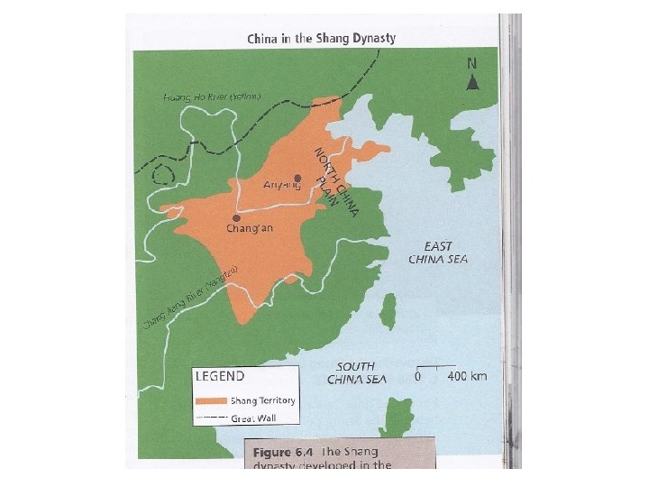
Map #2 Mark on the Map: The Yangtze River, the Yellow River, the East China Sea, the South China Sea, the city of Anyang
• The Great Wall of China is the only humanmade structure on Earth that can be seen from space.
• Chinese societies developed in isolation from the rest of the world. • Chinese borders were protected in southwest by the Himalayan Mountains and the west by the Gobi Desert.
• Two rivers were very important in ancient China, the Yellow River and the Yangtze. • The rivers provided people with transportation routes, water for washing and drinking, and irrigating crops.
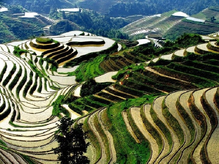
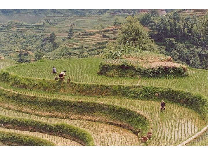
• The land surrounding the Yellow River is covered in loess; yellow silt from the plains and Gobi desert. • The loess was brought into the area by glaciers and from the annual flooding of the Yellow River.
• The Yellow River was not consistent in level because of unpredictable summer rains; this made it necessary for farmers to learn how to build dikes, dams, canals, and irrigation systems.
Pop Quiz! • https: //jeopardylabs. com/done/china-geography-introduction-15 • jeopardylabs. com/edit/china-geography-introduction-15