
Air Mass Review Air Masses l Large areas


- Slides: 87
Air Mass Review
Air Masses l Large areas (blobs) of air that have the same weather, temperatures and humidity
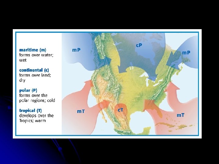
Air Masses l Air Mass Types - Named for where they come FROM
Air Masses l Weather changes occur when the air masses meet.
Notes: Air masses • large blobs of air that are similar throughout • Named for where they come from • • Over Canada – cold Over Mexico – warm Over land (continent) – dry Over water - wet
Fronts l boundary between two air masses
Fronts l bring l in changes in the weather the United States the weather changes from west to east because of the prevailing winds that blow across the country
Fronts l fare named for the air that is behind them
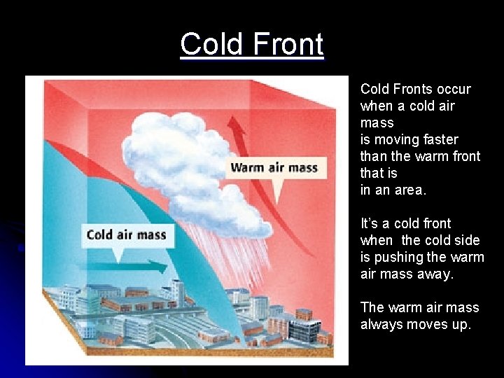
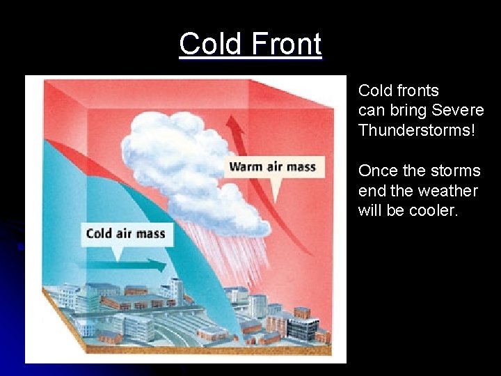
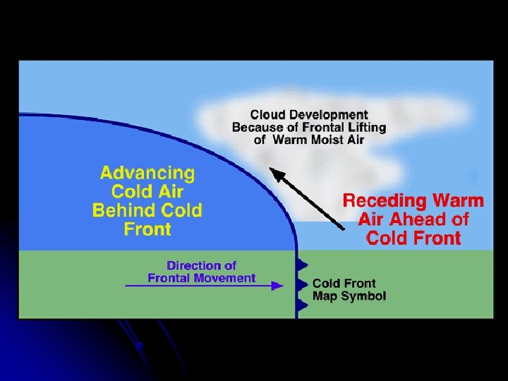
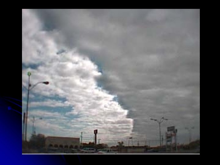
Cold Fronts occur when a cold air mass is moving faster than the warm front that is in an area. It’s a cold front when the cold side is pushing the warm air mass away. The warm air mass always moves up.
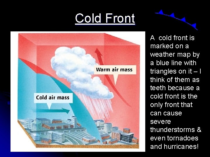
Cold Front A cold front is marked on a weather map by a blue line with triangles on it – I think of them as teeth because a cold front is the only front that can cause severe thunderstorms & even tornadoes and hurricanes!
Cold Front Cold fronts can bring Severe Thunderstorms! Once the storms end the weather will be cooler.
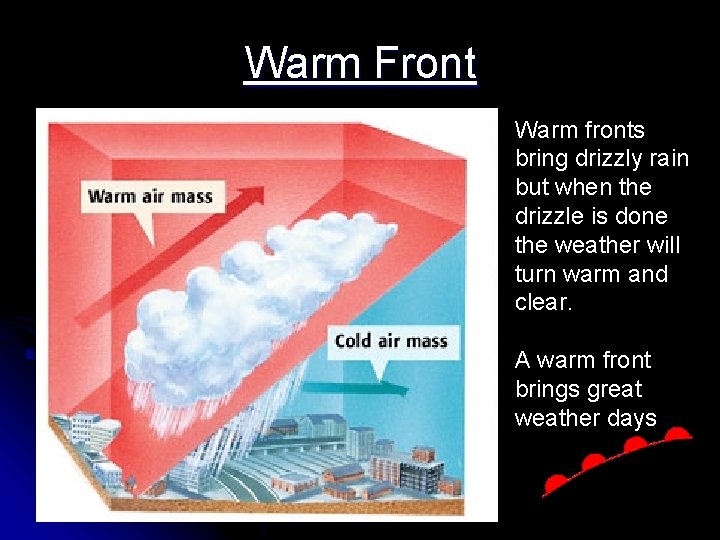
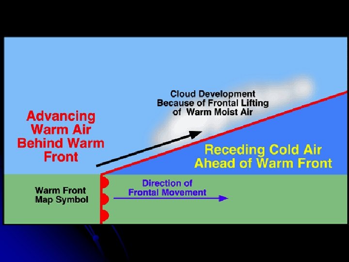
Warm Front Warm fronts bring drizzly rain but when the drizzle is done the weather will turn warm and clear. A warm front brings great weather days
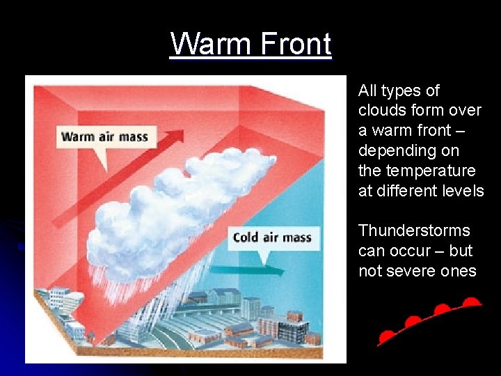
Warm Front All types of clouds form over a warm front – depending on the temperature at different levels Thunderstorms can occur – but not severe ones
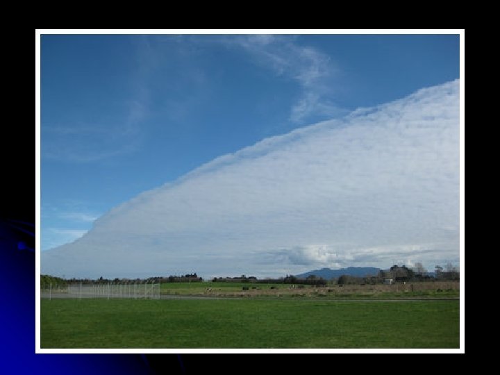
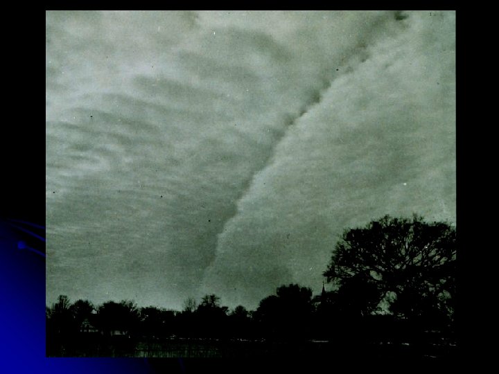
A warm front
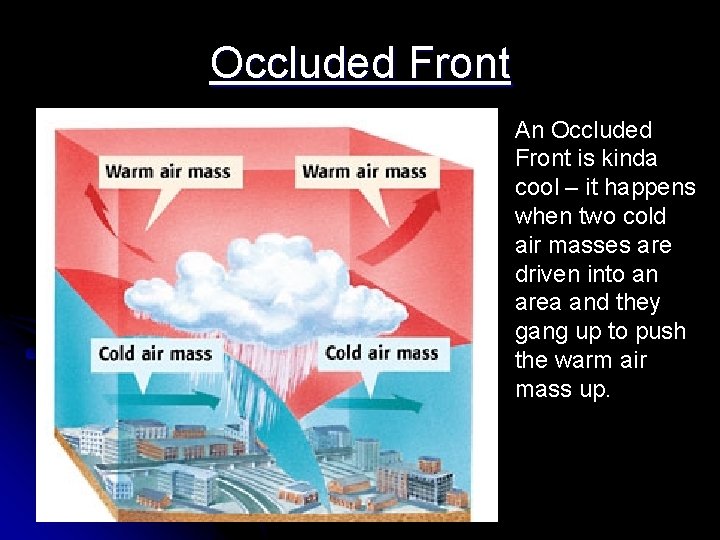
Occluded Front An Occluded Front is kinda cool – it happens when two cold air masses are driven into an area and they gang up to push the warm air mass up.
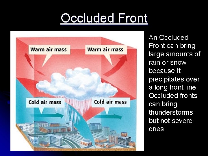
Occluded Front An Occluded Front can bring large amounts of rain or snow because it precipitates over a long front line. Occluded fronts can bring thunderstorms – but not severe ones
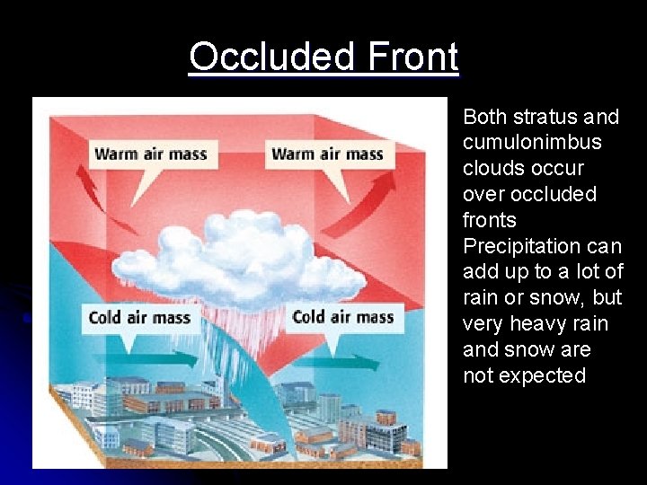
Occluded Front Both stratus and cumulonimbus clouds occur over occluded fronts Precipitation can add up to a lot of rain or snow, but very heavy rain and snow are not expected
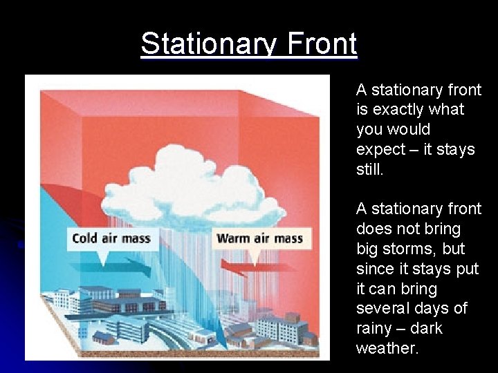
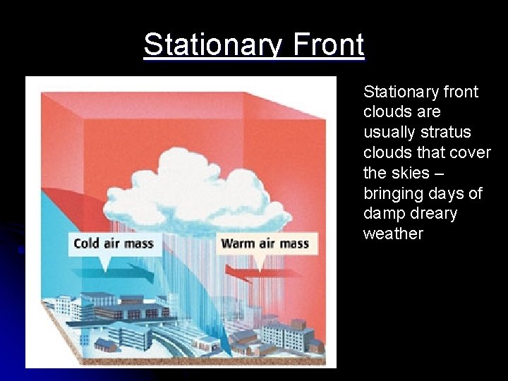
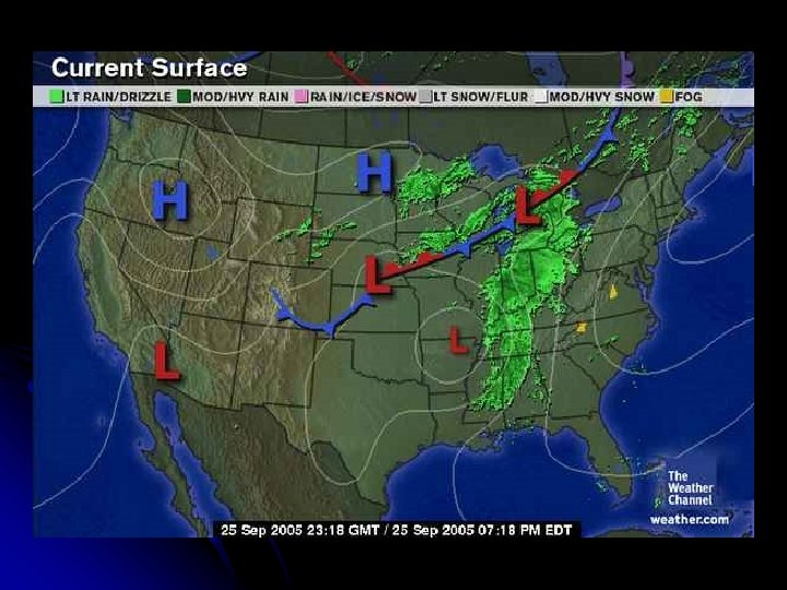
Stationary Front A stationary front is exactly what you would expect – it stays still. A stationary front does not bring big storms, but since it stays put it can bring several days of rainy – dark weather.
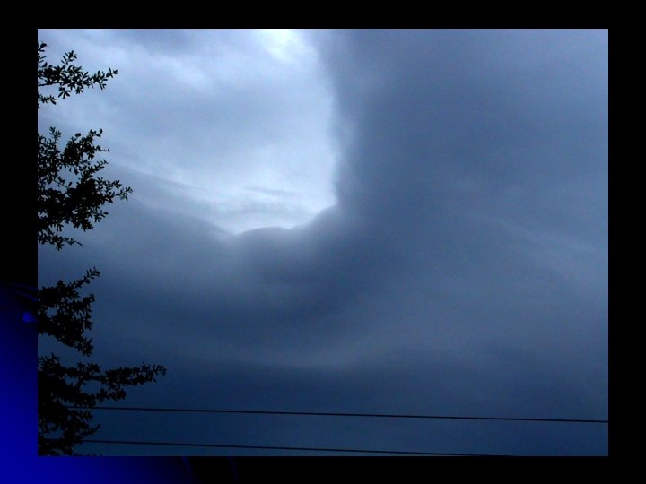
Stationary Front Stationary front clouds are usually stratus clouds that cover the skies – bringing days of damp dreary weather
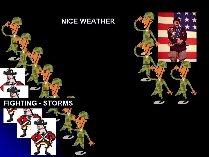
Air Mass Army Analogy l Think of air masses as an army front (the army is BEHIND the frontline) l At the Front there is FIGHTING and lots of VIOLENCE (stormy weather) l Behind the front (inside the air mass) the general sits on his butt and watches the goings-on while enjoying the nice weather!
NICE WEATHER FIGHTING - STORMS
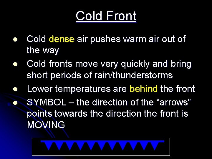
Cold Front l l Cold dense air pushes warm air out of the way Cold fronts move very quickly and bring short periods of rain/thunderstorms Lower temperatures are behind the front SYMBOL – the direction of the “arrows” points towards the direction the front is MOVING
Notes: Cold Front pushes warm air out – strong quick storms (thunderstorms) pointy arrows
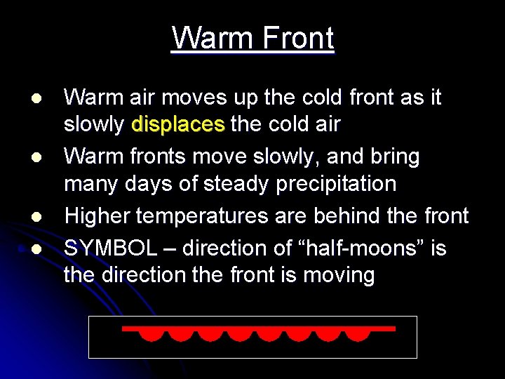
Warm Front l l Warm air moves up the cold front as it slowly displaces the cold air Warm fronts move slowly, and bring many days of steady precipitation Higher temperatures are behind the front SYMBOL – direction of “half-moons” is the direction the front is moving
Notes: Warm Front – warm air rises as it pushes cold out – brings warm weather and days of precipitation – rounded arrows
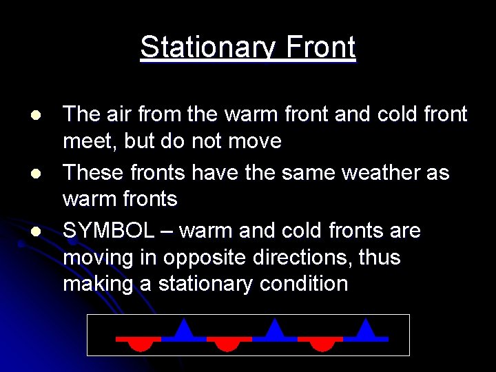
Stationary Front l l l The air from the warm front and cold front meet, but do not move These fronts have the same weather as warm fronts SYMBOL – warm and cold fronts are moving in opposite directions, thus making a stationary condition
Notes: Stationary Front – warm and cold front collide – but neither strong enough to push the other out – days of precipitation – both pointy and rounded arrows
The Cyclone l. A Cyclone is any low pressure system that has a counterclockwise rotation l(In the Northern Hemisphere)
End of Section 2. 2
Notes: Cyclone –low pressure system - rotates counter clockwise
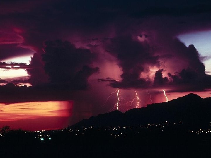
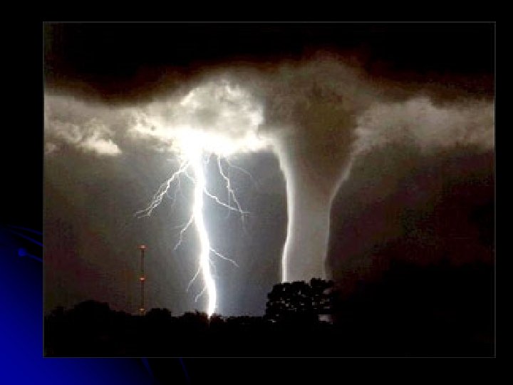
• small area storms formed by the strong upward movement of warm, moist air • usually occurs ahead of a cold front as the colder, denser air shoves the warmer air upward • This forms the cumulonimbus clouds that produce thunderstorms • These storms are accompanied by heavy rain, thunder, lightning, sometimes hail, and can also produce tornadoes
Notes: Thunderstorms • small storms caused by very hot land a cooler atmosphere • arrives ahead of a cold front with cumulonimbus clouds • Heavy rain – lightning and maybe hail or tornadoes
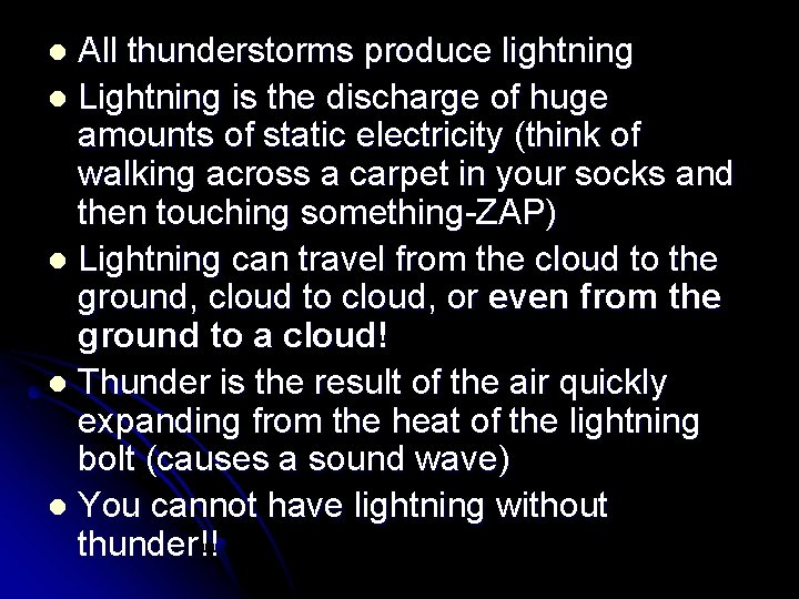
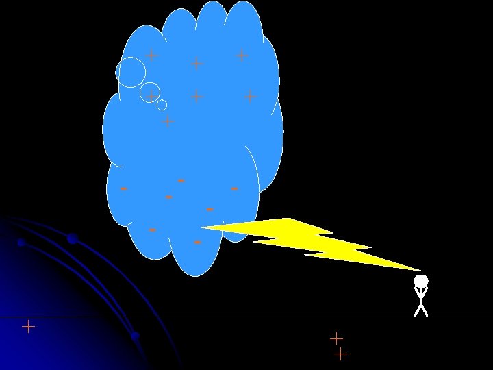
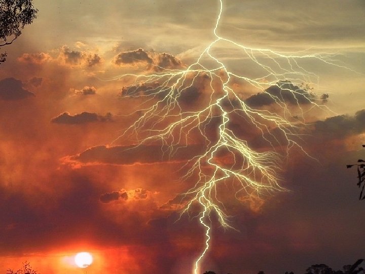
All thunderstorms produce lightning l Lightning is the discharge of huge amounts of static electricity (think of walking across a carpet in your socks and then touching something-ZAP) l Lightning can travel from the cloud to the ground, cloud to cloud, or even from the ground to a cloud! l Thunder is the result of the air quickly expanding from the heat of the lightning bolt (causes a sound wave) l You cannot have lightning without thunder!! l
Notes: Thunderstorms • Lightning – warm air rubs cooler air as it rises – causes static • Thunder – sonic boom as air moves faster than the speed of sound
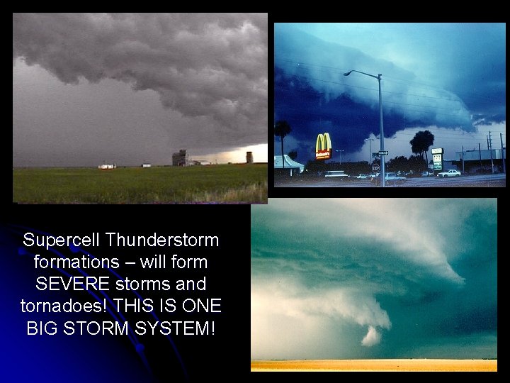
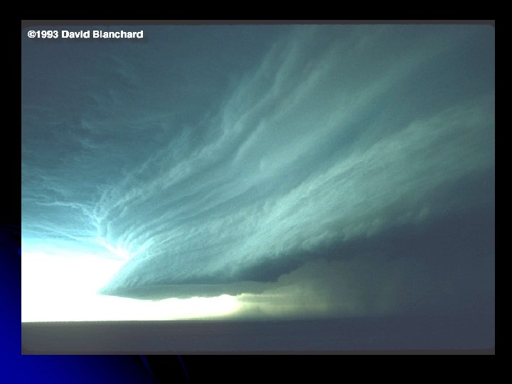
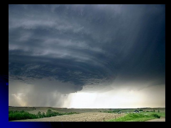
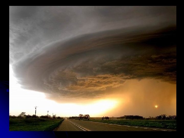
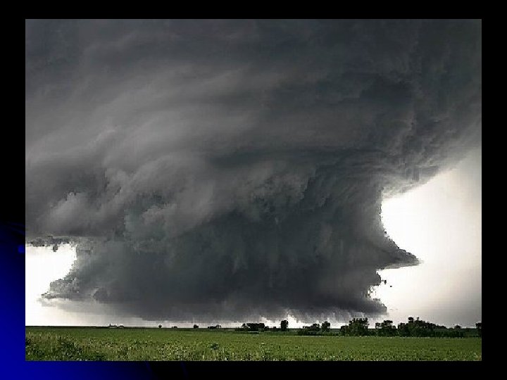
Supercell Thunderstorm formations – will form SEVERE storms and tornadoes! THIS IS ONE BIG STORM SYSTEM!
Notes: Thunderstorms • Supercell thunderstorm – major storm
Types of Cyclones: Tornado- a small, compact storm with strong winds l AKA: l l Twister l Willy-Willy (Australia)
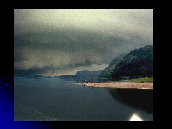
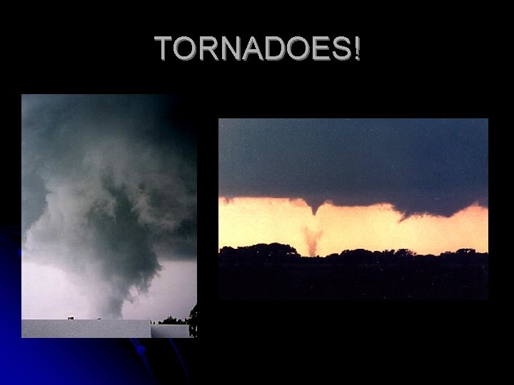
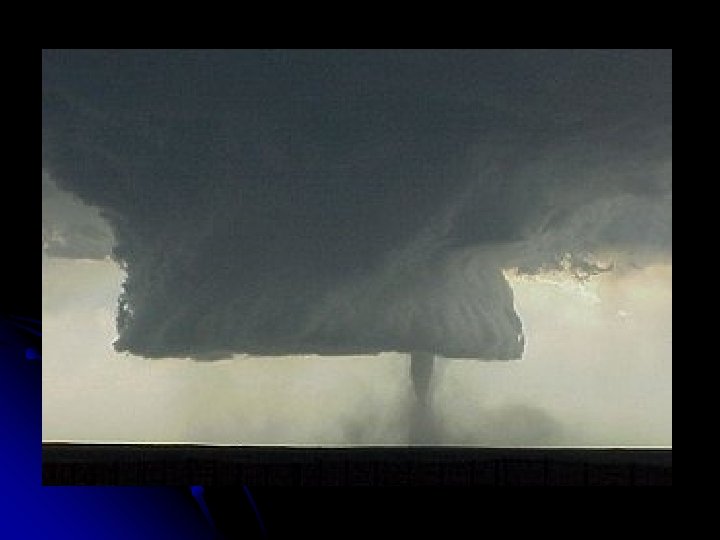
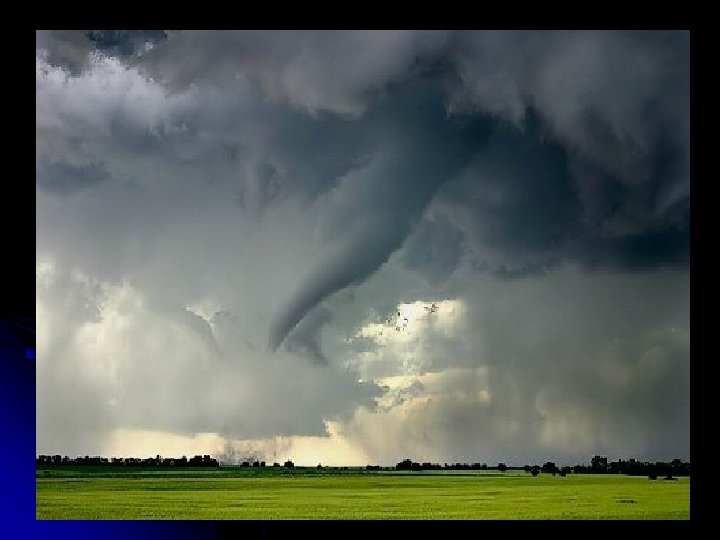
Tornadoes l form from very powerful thunderstorms (cumulonimbus clouds) l These are funnel shaped columns of spiraling winds that extend down to the ground from the base of a cloud l The winds move into a tornado (low pressure), and can reach a maximum of 318 mph!
Notes: Cyclones (tornadoes) • Almost all tornadoes occur in the US or Australia • Caused by powerful thunderstorms with cumulonimbus clouds
Tornadoes l Spin COUNTER CLOCKWISE (like a hurricane) l The actual funnel is made by water droplets (clouds) and dust
l Tornadoes are especially dangerous because it is so difficult to predict where they will form l Damage is usually along a narrow path where the tornado traveled l They usually last less then one hour
Notes: Cyclones (tornadoes) • Begin when funnel touches the ground • Impossible to predict • Very small path
l Most fatalities are caused by flying debris l Tornadoes are rated on the Fujita scale (F 0 – F 6) l An F 6 tornado has never been achieved. It would have wind speeds above 318 mph
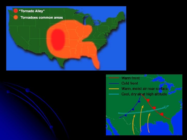
Notes: Cyclones (tornadoes) • Occur most in Tornado alley because of dry polar air meeting wet tropical air
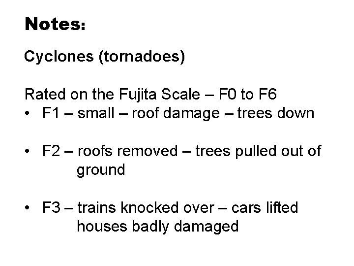
Notes: Cyclones (tornadoes) Rated on the Fujita Scale – F 0 to F 6 • F 1 – small – roof damage – trees down • F 2 – roofs removed – trees pulled out of ground • F 3 – trains knocked over – cars lifted houses badly damaged
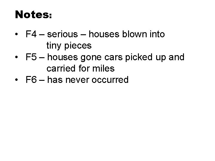
Notes: • F 4 – serious – houses blown into tiny pieces • F 5 – houses gone cars picked up and carried for miles • F 6 – has never occurred
TORNADOES!
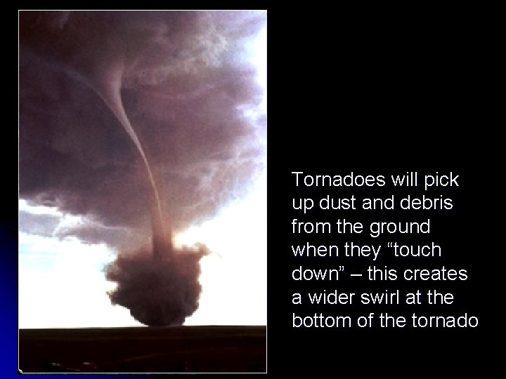
Tornadoes will pick up dust and debris from the ground when they “touch down” – this creates a wider swirl at the bottom of the tornado
For those of you who aren't familiar with tornadoes, here is a short glossary to help you understand. Fujita Scale: Scale used to measure wind speeds of a tornado and their severity. F 1: Laughable little string of wind unless it comes through your house, then enough to make your insurance company drop you like a brick. People enjoy standing on their porches to watch this kind. F 2: Strong enough to blow your car into your house, unless of course you drive an Expedition and live in a mobile home, then strong enough to blow your house into your car.
F 3: Will pick your house and your Expedition up and move you to the other side of town. F 4: Usually ranging from 1/2 to a full mile wide, this tornado can turn an Expedition into a Smart Car, then gift wrap it in a semi truck. F 5: The Mother of all Tornadoes, you might as well stand on your front porch and watch it, it’ll be quite a sight and it's probably going to be the last sight you’ll ever see.
Meteorologist: A rather soft-spoken, mild-mannered type person until severe weather strikes, and they start yelling at you through the TV: "GET TO YOUR BATHROOM OR YOU'RE GOING TO DIE!“ Storm Chaser: Meteorologist-rejects who are pretty much insane but get us really cool pictures of tornadoes. We release them from the mental institution every time it starts thundering, just to see what they'll do.
Types of Cyclones Hurricane- A large, organized storm with strong winds and heavy rain l AKA l l Typhoon- in the Pacific
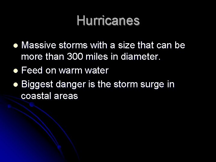
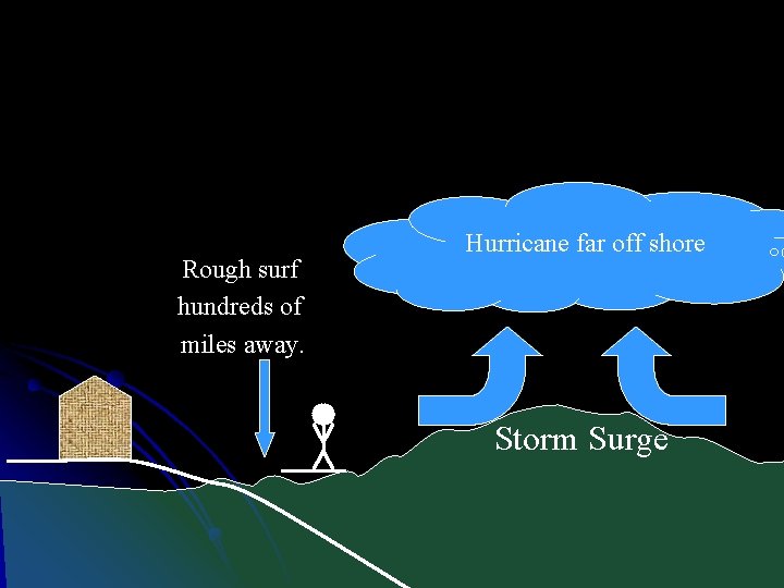
Hurricanes Massive storms with a size that can be more than 300 miles in diameter. l Feed on warm water l Biggest danger is the storm surge in coastal areas l
Notes: Hurricanes • the most powerful storms on earth • Massive • Begin as thunderstorms over the ocean
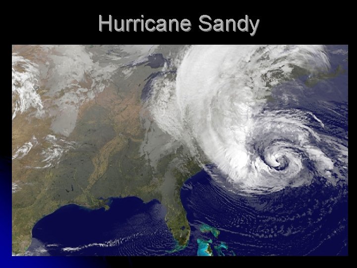
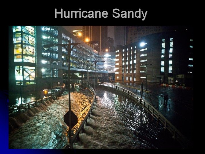
Hurricane Sandy
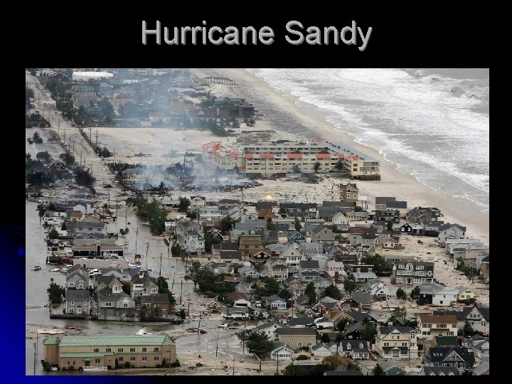
Hurricane Sandy
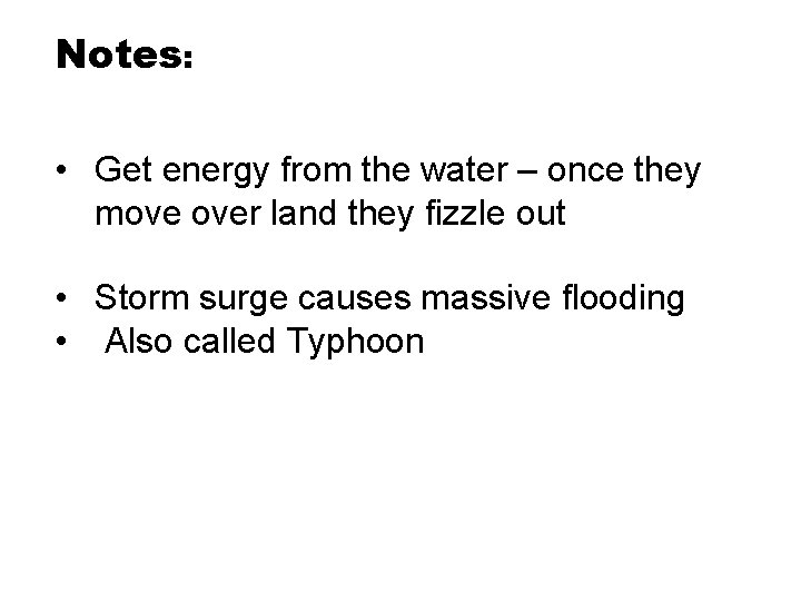
Notes: • Get energy from the water – once they move over land they fizzle out • Storm surge causes massive flooding • Also called Typhoon
Hurricane Sandy
Rough surf hundreds of miles away. Hurricane far off shore Storm Surge
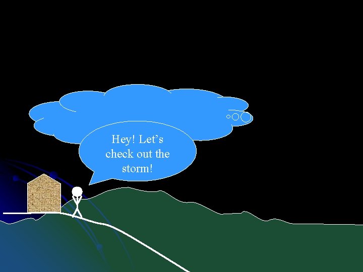
Hey! Let’s check out the storm!
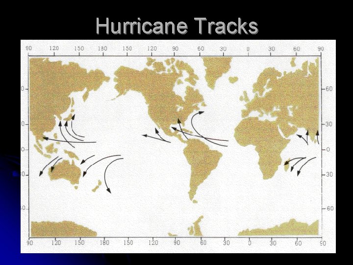
Hurricane Tracks
The BIG STORM TIP of the day: When your electricity goes out, and you go to bed at night, be sure to turn off everything that was on before it went out, or when it is unexpectedly restored in the middle of the night, every light, every computer, your dishwasher, your blow dryer, your washing machine, your microwave and your fans will all come on all at once. 1) You'll just about have a heart attack when they all come on at the same time, waking you from a dead sleep. And 2) Your circuit breakers will blow, leaving you in the dark once again.
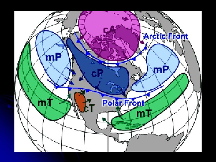
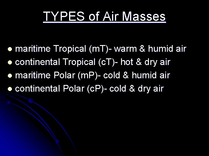
TYPES of Air Masses maritime Tropical (m. T)- warm & humid air l continental Tropical (c. T)- hot & dry air l maritime Polar (m. P)- cold & humid air l continental Polar (c. P)- cold & dry air l