Aerial Images Aerial Images n Aerial imagery has


- Slides: 19
Aerial Images
Aerial Images n Aerial imagery has been a primary source of geographic data • Started as soon as portable cameras were invented • Became practical with invention of airplane n Photogrammetry – science of measuring geometry from images
Aerial Image Attributes n Image scale – relative distance on image to distance on ground • Images contain distortions typically not found on maps • Non-uniform scale across image n Usually specify an average scale
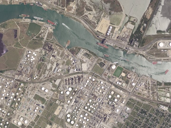
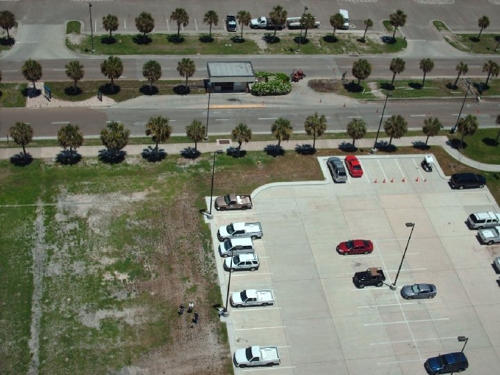
Aerial Image Attributes n Extent – Area covered by image • Depends on… Physical size of recording media n Lens system n Flying height n
Aerial Image Attributes n Image resolution – smallest object that can be reliably detected on an image • Typically resolution is measured between two highly contrasting colors • Resolution depends on film grain in analog cameras and sensor density in digital cameras • Resolution is often tested using alternating patterns of black and white lines
Photo Test Pattern Higher Resolution Lower resolution
Widely used types of Film n Panchromatic – black and white • Inexpensive and wide exposure range n True Color – sensitive to light across visible spectrum • Requires three emulsions
Widely used types of Film n Infrared – Sensitive to visible and infrared wavelengths • Sensitive to difference in brightness – high contrast • Used widely for vegetation mapping
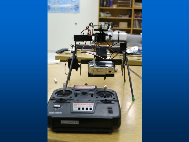
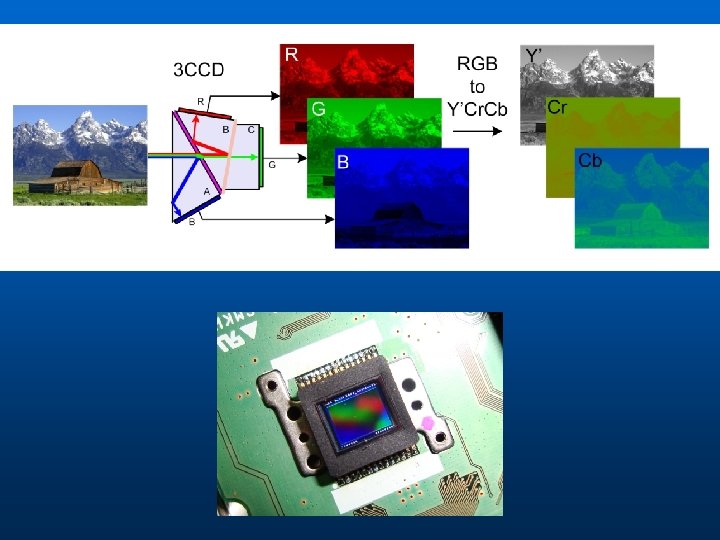
Digital Aerial Cameras n Quickly replacing film cameras • Eliminates conversion n Instead of film, use Charge Coupled Device (CCD) or similar element • CCD is a rectangular array of pixels that respond to light. n Multiple CCDs may be used with a single or multiple lens