A Geographical Information System for MSF Operational Needs

 link location (spatial) and database (tabular)")


- Slides: 14
A Geographical Information System for MSF Operational Needs MSF-CH GIS UNIT – MSF Scientific Day – 7 th May 2015
Definition of GIS • Geographic Information Systems (GIS) link location (spatial) and database (tabular) information and enable visualisation of patterns, relationships, and trends • This process gives a new perspective to data analysis that cannot be seen in a table or list format • A GIS uses geography as its organizing principle
The GIS Strategy for MSF-CH • • Setting the foundation of a system responding to needs Base maps and reference data Map Centre: Cornerstone of the GIS strategy Providing structure and a replicable system for other MSF Operational Centres 2012 Analysis of GIS at / for MSF 2013 Implementation of OCG’s GIS dev. Strategy 2014 Deployement 4 GIS officers Ebola context 2015 2020 Definition of the future of the GIS Unit
MSF Map Centre
MSF Map Centre • MSF movement-wide GIS data repository • Maps from different sources: Reliefweb, UNOSAT, … Cell Issues and requests Data, maps and tools Improve, populate, develop tools Map Centre OC GIS focal p. Cell Submit Datasets GIS Experts Issues and requests Crowdsourcing Tools Vienna Unit
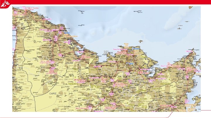
First Emergencies Remote mapping - 2013 Philippines – Haiyan • 1 st step: Activation: night before first departure, harvesting of existing maps ready to print • 2 nd step: Specific requests from Emergency Cell Success story • Reactivity • Support to operations • Naming and locations South Sudan Cameroon To be improved • Lack of Internet • Useful for HQ, less for the field • Data sharing from the field Syria Ukraine …
GIS in Ebola Response First continuous GIS support to emergency in MSF Up to four simultaneous deployments – Guinea (ongoing), Liberia, Sierra Leone Mapping support: Basemap: Naming, village locations, roads Epidemiological maps Other types of requests: LOG / Coordination / … Intersectional position: one GIS officer for a country
Added Value of the GIS • Faster response when knowing better the area of operations (GPS Men)
• Better / faster understanding of the outbreak
• Data management support • Interaction with multiple actors • Local government (training / data) • Humanitarian actors: WHO / CDC / IFRC / (maps / data) • Sharing geographical resources: Open. Street. Map
CONCLUSION • Improvement of the GIS Culture • Innovative approach • Successful pilot • Transversal position: useful for Epidemiologists, Logisticians, Admin, Water and Sanitation. . . • Information manager in the field
What next for the GIS ? • Reinforce the GIS Unit • Developing training and capacity building • Promoting an intersectional GIS approach àSharing a common set of referenced data and standard procedures • Improve the support to MSF Operations
20 GPS Men 7 GIS Officers deployed 1, 350 maps in the Map Centre Thanks for your attention GIS UNIT – MSF OCG Sylvie de Laborderie GIS Expert GIS Unit – MSF-CH Gis. unit@geneva. msf. org Mathieu Soupart Logistics Director MSF OCG Gis. focal@geneva. msf. org