A Comparison of the Northern American Regional Reanalysis

- Slides: 1

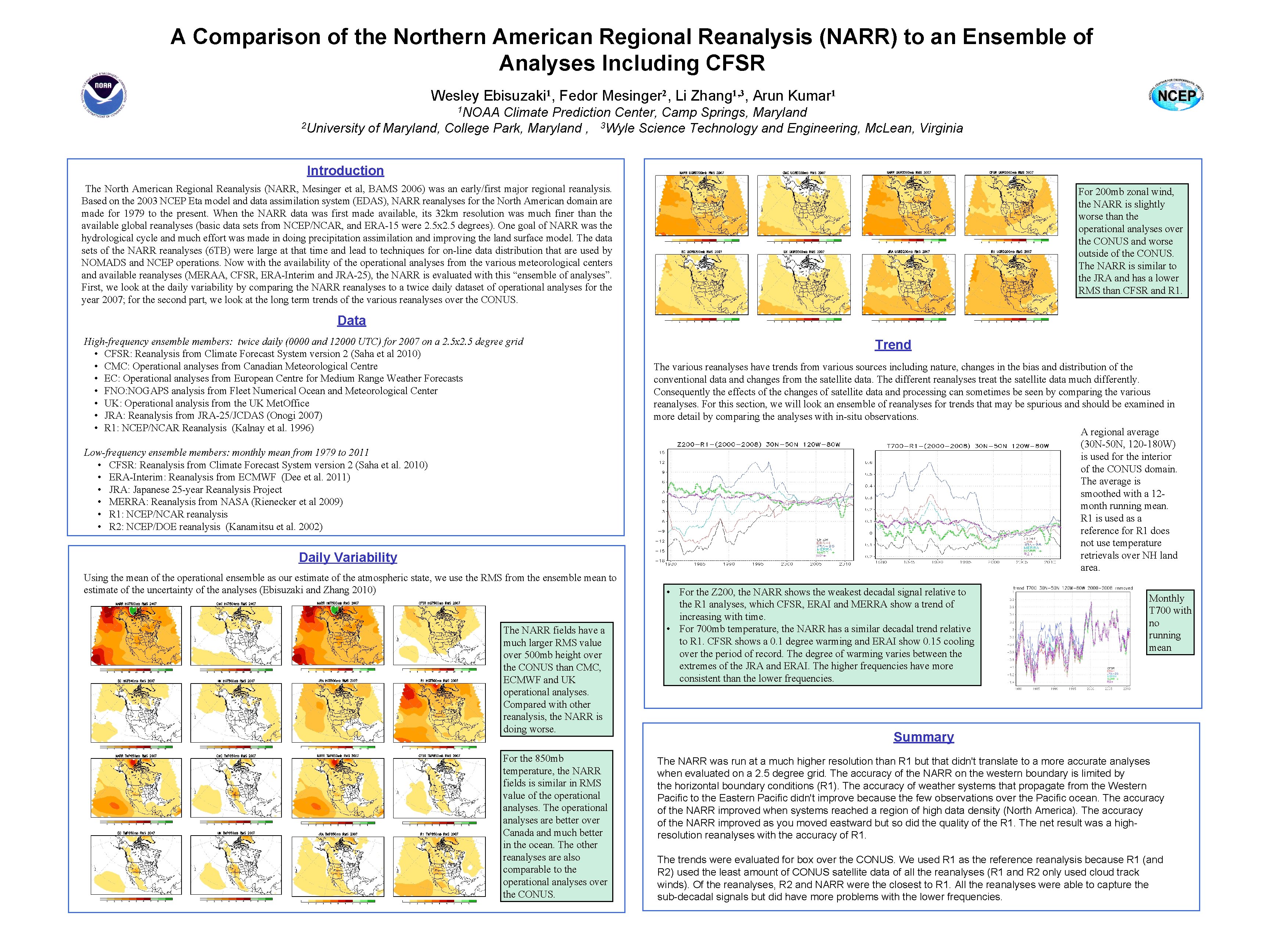
A Comparison of the Northern American Regional Reanalysis (NARR) to an Ensemble of Analyses Including CFSR Wesley Ebisuzaki 1, Fedor Mesinger 2, Li Zhang 1, 3, Arun Kumar 1 1 NOAA Climate Prediction Center, Camp Springs, Maryland 2 University of Maryland, College Park, Maryland , 3 Wyle Science Technology and Engineering, Mc. Lean, Virginia Introduction The North American Regional Reanalysis (NARR, Mesinger et al, BAMS 2006) was an early/first major regional reanalysis. Based on the 2003 NCEP Eta model and data assimilation system (EDAS), NARR reanalyses for the North American domain are made for 1979 to the present. When the NARR data was first made available, its 32 km resolution was much finer than the available global reanalyses (basic data sets from NCEP/NCAR, and ERA-15 were 2. 5 x 2. 5 degrees). One goal of NARR was the hydrological cycle and much effort was made in doing precipitation assimilation and improving the land surface model. The data sets of the NARR reanalyses (6 TB) were large at that time and lead to techniques for on-line data distribution that are used by NOMADS and NCEP operations. Now with the availability of the operational analyses from the various meteorological centers and available reanalyses (MERAA, CFSR, ERA-Interim and JRA-25), the NARR is evaluated with this “ensemble of analyses”. First, we look at the daily variability by comparing the NARR reanalyses to a twice daily dataset of operational analyses for the year 2007; for the second part, we look at the long term trends of the various reanalyses over the CONUS. For 200 mb zonal wind, the NARR is slightly worse than the operational analyses over the CONUS and worse outside of the CONUS. The NARR is similar to the JRA and has a lower RMS than CFSR and R 1. Data High-frequency ensemble members: twice daily (0000 and 12000 UTC) for 2007 on a 2. 5 x 2. 5 degree grid • CFSR: Reanalysis from Climate Forecast System version 2 (Saha et al 2010) • CMC: Operational analyses from Canadian Meteorological Centre • EC: Operational analyses from European Centre for Medium Range Weather Forecasts • FNO: NOGAPS analysis from Fleet Numerical Ocean and Meteorological Center • UK: Operational analysis from the UK Met. Office • JRA: Reanalysis from JRA-25/JCDAS (Onogi 2007) • R 1: NCEP/NCAR Reanalysis (Kalnay et al. 1996) Trend The various reanalyses have trends from various sources including nature, changes in the bias and distribution of the conventional data and changes from the satellite data. The different reanalyses treat the satellite data much differently. Consequently the effects of the changes of satellite data and processing can sometimes be seen by comparing the various reanalyses. For this section, we will look an ensemble of reanalyses for trends that may be spurious and should be examined in more detail by comparing the analyses with in-situ observations. A regional average (30 N-50 N, 120 -180 W) is used for the interior of the CONUS domain. The average is smoothed with a 12 month running mean. R 1 is used as a reference for R 1 does not use temperature retrievals over NH land area. Low-frequency ensemble members: monthly mean from 1979 to 2011 • CFSR: Reanalysis from Climate Forecast System version 2 (Saha et al. 2010) • ERA-Interim: Reanalysis from ECMWF (Dee et al. 2011) • JRA: Japanese 25 -year Reanalysis Project • MERRA: Reanalysis from NASA (Rienecker et al 2009) • R 1: NCEP/NCAR reanalysis • R 2: NCEP/DOE reanalysis (Kanamitsu et al. 2002) Daily Variability Using the mean of the operational ensemble as our estimate of the atmospheric state, we use the RMS from the ensemble mean to estimate of the uncertainty of the analyses (Ebisuzaki and Zhang 2010) The NARR fields have a much larger RMS value over 500 mb height over the CONUS than CMC, ECMWF and UK operational analyses. Compared with other reanalysis, the NARR is doing worse. For the 850 mb temperature, the NARR fields is similar in RMS value of the operational analyses. The operational analyses are better over Canada and much better in the ocean. The other reanalyses are also comparable to the operational analyses over the CONUS. • For the Z 200, the NARR shows the weakest decadal signal relative to the R 1 analyses, which CFSR, ERAI and MERRA show a trend of increasing with time. • For 700 mb temperature, the NARR has a similar decadal trend relative to R 1. CFSR shows a 0. 1 degree warming and ERAI show 0. 15 cooling over the period of record. The degree of warming varies between the extremes of the JRA and ERAI. The higher frequencies have more consistent than the lower frequencies. Monthly T 700 with no running mean Summary The NARR was run at a much higher resolution than R 1 but that didn't translate to a more accurate analyses when evaluated on a 2. 5 degree grid. The accuracy of the NARR on the western boundary is limited by the horizontal boundary conditions (R 1). The accuracy of weather systems that propagate from the Western Pacific to the Eastern Pacific didn't improve because the few observations over the Pacific ocean. The accuracy of the NARR improved when systems reached a region of high data density (North America). The accuracy of the NARR improved as you moved eastward but so did the quality of the R 1. The net result was a highresolution reanalyses with the accuracy of R 1. The trends were evaluated for box over the CONUS. We used R 1 as the reference reanalysis because R 1 (and R 2) used the least amount of CONUS satellite data of all the reanalyses (R 1 and R 2 only used cloud track winds). Of the reanalyses, R 2 and NARR were the closest to R 1. All the reanalyses were able to capture the sub-decadal signals but did have more problems with the lower frequencies.