4 Panel Charts The funnel approach to forecastingbriefing
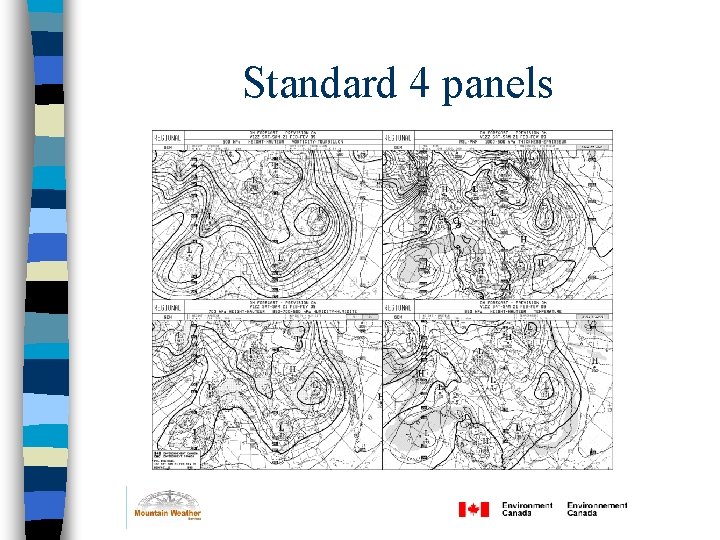
4 Panel Charts The funnel approach to forecasting/briefing and the most commonly used NWP output
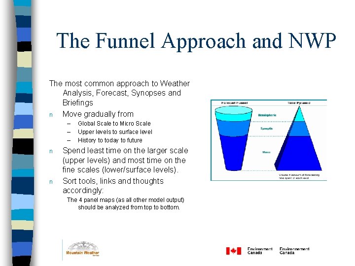
The Funnel Approach and NWP The most common approach to Weather Analysis, Forecast, Synopses and Briefings n Move gradually from – – – n n Global Scale to Micro Scale Upper levels to surface level History to today to future Spend least time on the larger scale (upper levels) and most time on the fine scales (lower/surface levels). Sort tools, links and thoughts accordingly: The 4 panel maps (as all other model output) should be analyzed from top to bottom.
References
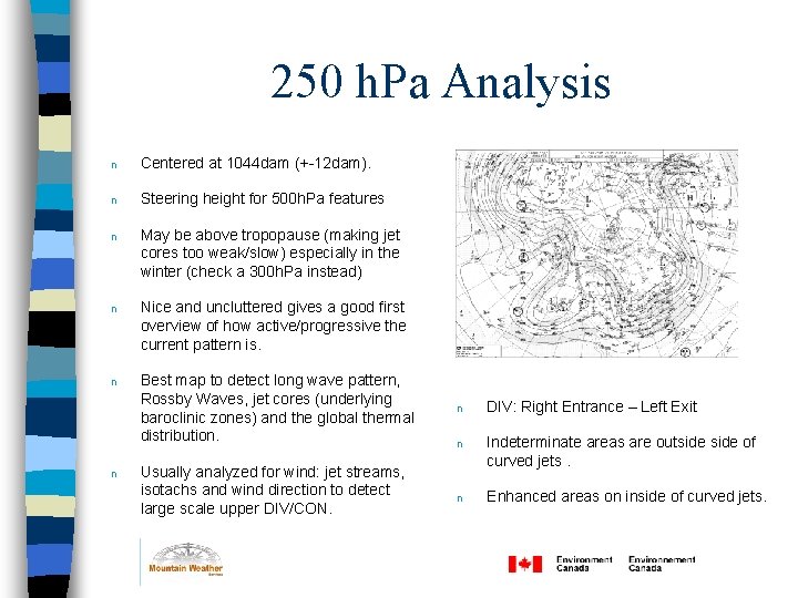
250 h. Pa Analysis n Centered at 1044 dam (+-12 dam). n Steering height for 500 h. Pa features n May be above tropopause (making jet cores too weak/slow) especially in the winter (check a 300 h. Pa instead) n Nice and uncluttered gives a good first overview of how active/progressive the current pattern is. n Best map to detect long wave pattern, Rossby Waves, jet cores (underlying baroclinic zones) and the global thermal distribution. n Usually analyzed for wind: jet streams, isotachs and wind direction to detect large scale upper DIV/CON. n DIV: Right Entrance – Left Exit n Indeterminate areas are outside of curved jets. n Enhanced areas on inside of curved jets.
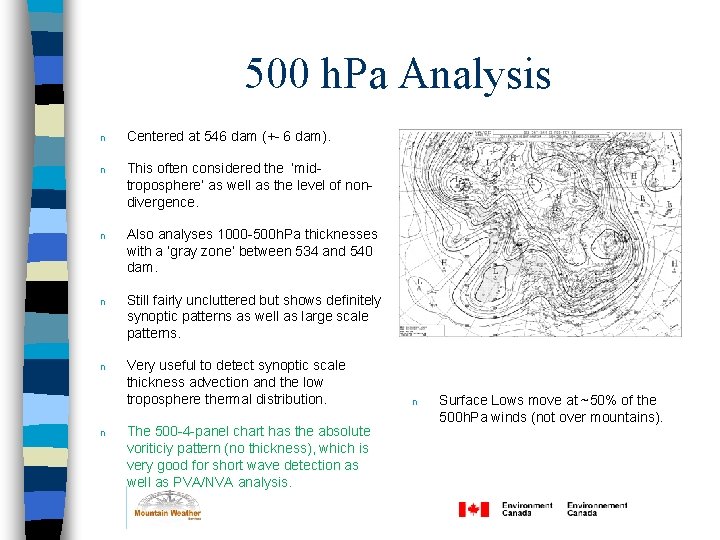
500 h. Pa Analysis n Centered at 546 dam (+- 6 dam). n This often considered the ‘midtroposphere’ as well as the level of nondivergence. n Also analyses 1000 -500 h. Pa thicknesses with a ‘gray zone’ between 534 and 540 dam. n Still fairly uncluttered but shows definitely synoptic patterns as well as large scale patterns. n Very useful to detect synoptic scale thickness advection and the low troposphere thermal distribution. n The 500 -4 -panel chart has the absolute voriticiy pattern (no thickness), which is very good for short wave detection as well as PVA/NVA analysis. n Surface Lows move at ~50% of the 500 h. Pa winds (not over mountains).
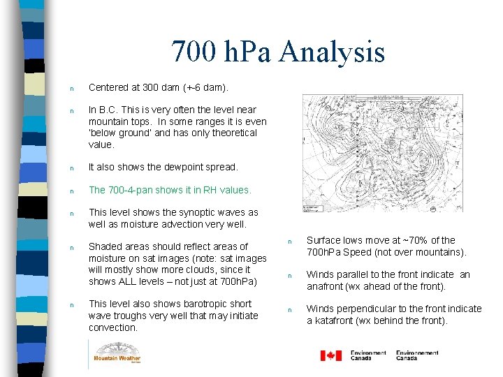
700 h. Pa Analysis n Centered at 300 dam (+-6 dam). n In B. C. This is very often the level near mountain tops. In some ranges it is even ‘below ground’ and has only theoretical value. n It also shows the dewpoint spread. n The 700 -4 -pan shows it in RH values. n This level shows the synoptic waves as well as moisture advection very well. n Shaded areas should reflect areas of moisture on sat images (note: sat images will mostly show more clouds, since it shows ALL levels – not just at 700 h. Pa) n This level also shows barotropic short wave troughs very well that may initiate convection. n Surface lows move at ~70% of the 700 h. Pa Speed (not over mountains). n Winds parallel to the front indicate an anafront (wx ahead of the front). n Winds perpendicular to the front indicate a katafront (wx behind the front).
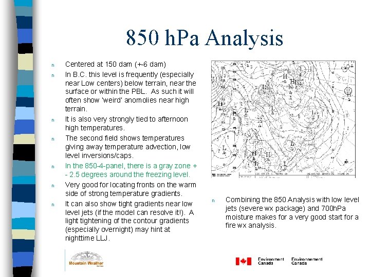
850 h. Pa Analysis n n n n Centered at 150 dam (+-6 dam) In B. C. this level is frequently (especially near Low centers) below terrain, near the surface or within the PBL. As such it will often show ‘weird’ anomolies near high terrain. It is also very strongly tied to afternoon high temperatures. The second field shows temperatures giving away temperature advection, low level inversions/caps. In the 850 -4 -panel, there is a gray zone + - 2. 5 degrees around the freezing level. Very good for locating fronts on the warm side of strong temperature gradients. It can also show tight gradients near low level jets (if the model can resolve it!). A light tightening of the contour gradients (especially overnight) may hint at nighttime LLJ. n Combining the 850 Analysis with low level jets (severe wx package) and 700 h. Pa moisture makes for a very good start for a fire wx analysis.
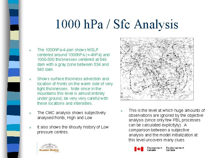
1000 h. Pa / Sfc Analysis n The 1000 h. Pa-4 -pan shows MSLP centered around 1000 h. Pa (+-4 h. Pa) and 1000 -500 thicknesses centered at 546 dam with a gray zone between 534 and 540 dam. n Shows surface thickness advection and location of fronts on the warm side of very tight thicknesses. Note since in the mountains this level is almost entirely under ground, be very careful with these locations and intensities. n The CMC analysis shows subjectively analysed fronts, High and Low n It also shows the 6 hourly history of Low pressure centres. n This is the level at which huge amounts of observations are ignored by the objective analysis (since only few PBL processes can be calculated explicityly). A comparison between a subjective analysis and the model initialization at this level uncovers many clues.
Standard 4 panels
- Slides: 9