
2006 Flood in El Paso TX Overview Background
2006 Flood in El Paso TX

Overview Background Progress Future Work
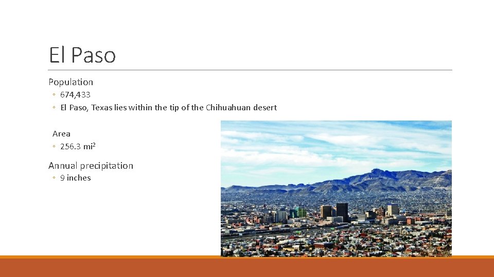
El Paso Population ◦ 674, 433 ◦ El Paso, Texas lies within the tip of the Chihuahuan desert Area ◦ 256. 3 mi 2 Annual precipitation ◦ 9 inches
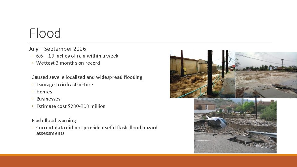
Flood July – September 2006 ◦ 6. 6 – 10 inches of rain within a week ◦ Wettest 3 months on record Caused severe localized and widespread flooding ◦ Damage to infrastructure ◦ Homes ◦ Businesses ◦ Estimate cost $200 -300 million Flash flood warning ◦ Current data did not provide useful flash-flood hazard assessments
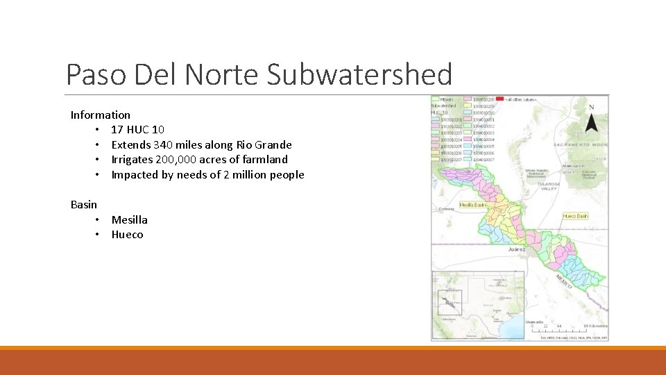
Paso Del Norte Subwatershed Information • 17 HUC 10 • Extends 340 miles along Rio Grande • Irrigates 200, 000 acres of farmland • Impacted by needs of 2 million people Basin • Mesilla • Hueco
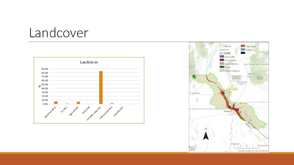
er W at n rre Ba en Op Ice s as Gr nd et la ub cr b. S ow Sn ru Sh W st re tu ul rre t m en Fo ve lo p Ag ric De % Landcover 90. 00 80. 00 70. 00 60. 00 50. 00 40. 00 30. 00 20. 00 10. 00
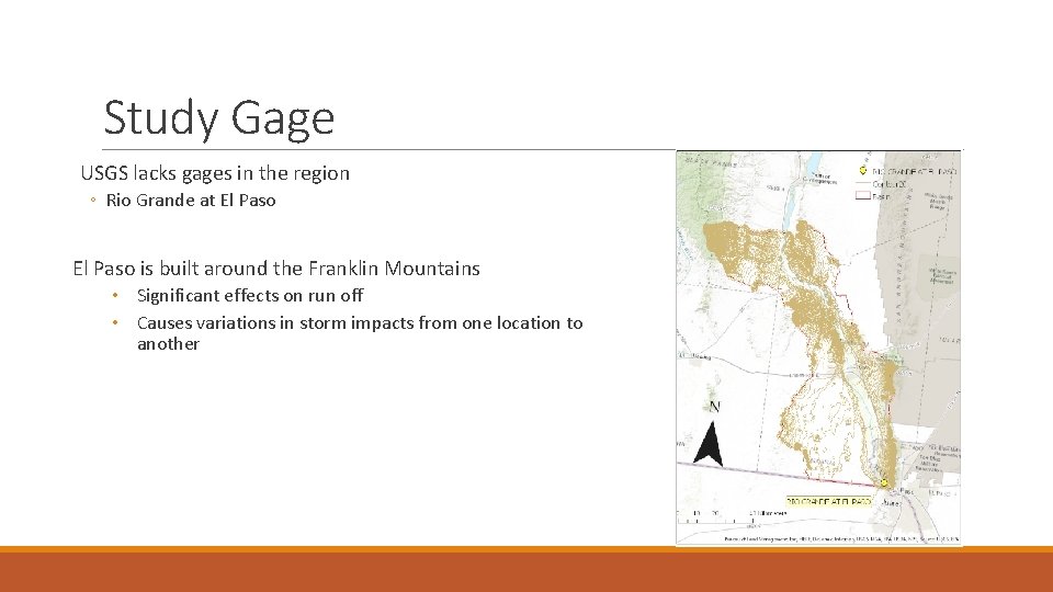
Study Gage USGS lacks gages in the region ◦ Rio Grande at El Paso is built around the Franklin Mountains • Significant effects on run off • Causes variations in storm impacts from one location to another
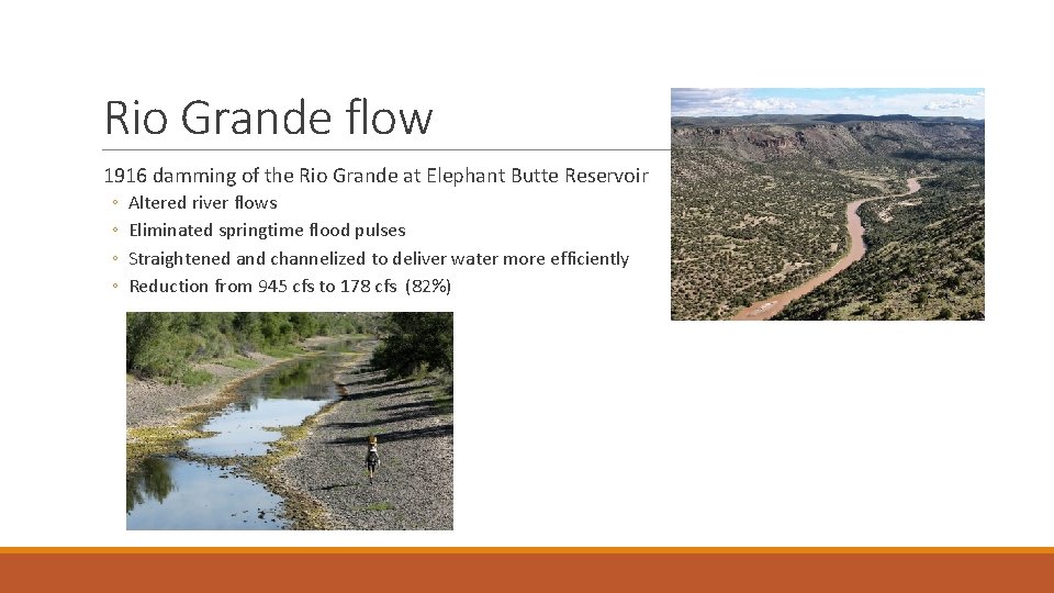
Rio Grande flow 1916 damming of the Rio Grande at Elephant Butte Reservoir ◦ ◦ Altered river flows Eliminated springtime flood pulses Straightened and channelized to deliver water more efficiently Reduction from 945 cfs to 178 cfs (82%)
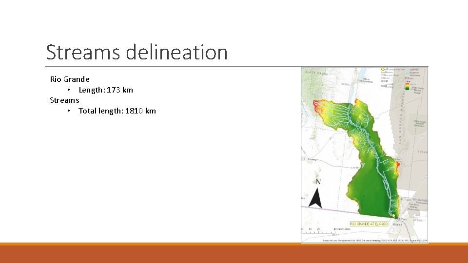
Streams delineation Rio Grande • Length: 173 km Streams • Total length: 1810 km
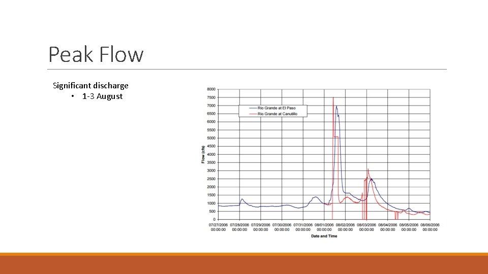
Peak Flow Significant discharge • 1 -3 August
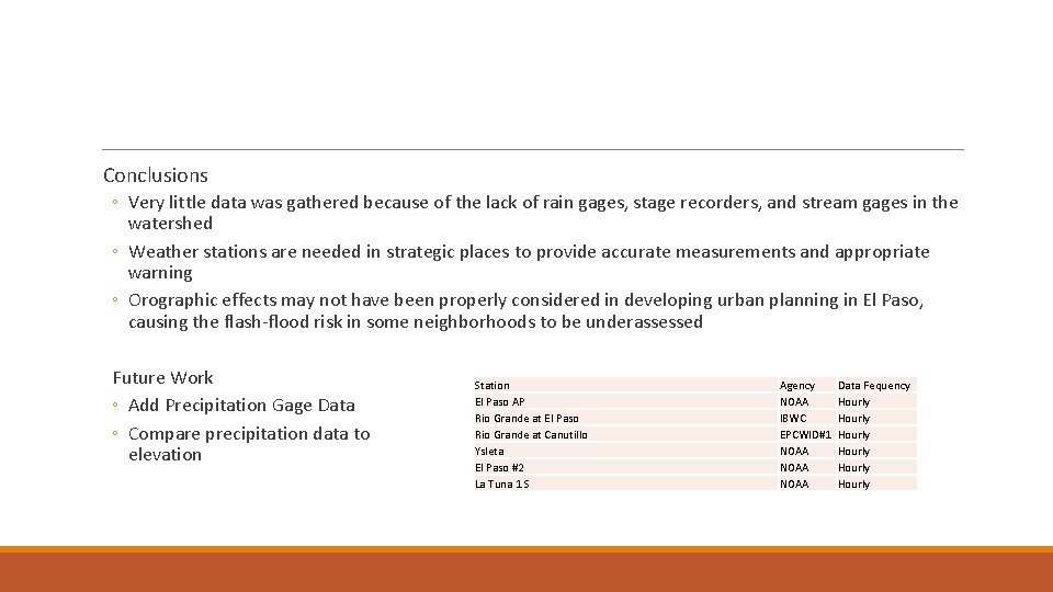
Conclusions ◦ Very little data was gathered because of the lack of rain gages, stage recorders, and stream gages in the watershed ◦ Weather stations are needed in strategic places to provide accurate measurements and appropriate warning ◦ Orographic effects may not have been properly considered in developing urban planning in El Paso, causing the flash-flood risk in some neighborhoods to be underassessed Future Work ◦ Add Precipitation Gage Data ◦ Compare precipitation data to elevation Station El Paso AP Rio Grande at El Paso Rio Grande at Canutillo Ysleta El Paso #2 La Tuna 1 S Agency NOAA IBWC EPCWID#1 NOAA Data Fequency Hourly Hourly
Questions? References Thomas E. Gill and Timothy W. Collins, 2010. Southwest Hydrology. Federal Emergency Management Agency, 2007. Flood Frequency Determination El Paso County and Incorporated Communities, Texas. USGS Current conditions for USGS 08364000 Rio Grande at El Paso. http: //nwis. waterdata. usgs. gov/tx/nwis/monthly/? search_site_no=08364000& agency_cd=USGS & referred_module=sw& format=sites_selection_links
- Slides: 12