2 Europe North America South America Asia Africa


 English Portugese you English from? country are")


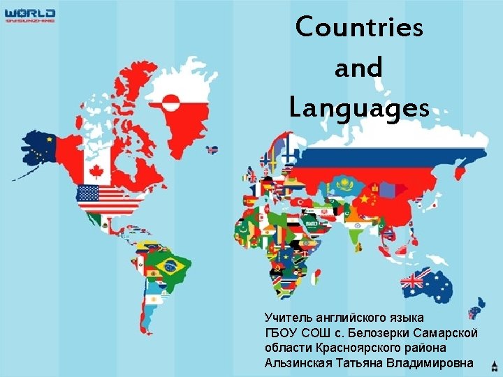
- Slides: 13
2
Europe North America South America Asia Africa Antarctica Australia 3
Sing “A Continent Song” A continent, a continent is a bigbig piece of land A continent, a continent don’t you know their names? It’s AFRICA, and ASIA, NORTH AMERICA, SOUTH AMERICA, AUSTRALIA, ANTARCTICA, 4 And EUROPE
Label the parts of the world 5
Countries Russia Canada the UK France Japan the USA Mexico Italy Brazil Egypt China Turkey India Australia 6
Where is this country? Example: Canada is in North America Japan Egypt Brazil France Italy Australia 7
Let’s jump down Well done! and up! 8
Country Australia Brazil What Britain Official Language(s) English Portugese you English from? country are What language do you Arabic speak? Egypt England France Greece Italy Japan Mexico Poland Portugal Russia English French Greek Italian Japanese Spanish Polish Portugese Russian I am from…. I speak…. 9
A dialogue model - Hello! - What is your name? - My name is …. . - What country are you from, …. ? - I am from …. . What country are you from, …? - I am from …. I speak …. What language do you speak? - I speak …. - OK, see you later. Bye! - Bye! 10
What did you learn? I know… continents countries languages that people speak I can… work in pairs make dialogues use speech patterns 11
Thank you for the lesson! Good bye! 12
Links: Слайд 1, 6 и 13. Изображение карты мира со странами http: //lh 5. ggpht. com/amrelgarhy 81/SKb. BIt 4 Mrh. I/AAAAAac/g. Q 9 Pi 1 f. Lv 9 A/s 1600 h/WORLD_MAP_by_SUNZHINE%5 B 3%5 D. jpg Слайд 2. Изображение статичного глобуса http: //img 1. liveinternet. ru/images/attach/c/2/74/147/74147361_barretr_Earth_000. png Слайд 2 и 4. Изображение звездного неба в космосе. http: //newsuniverse. ru/wp-content/uploads/2012/08/108731. jpg Слайд 3. Изображение карты мира и глобусов. http: //www. 123 rf. com/photo_8838553_set-of-globe. html Слайд 4. Изображение анимированного глобуса http: //upload. wikimedia. org/wikipedia/commons/f/f 2/World. Map-A_non-Frame-498 x 498 animated 36 steps. gif Слайд 5 и 7. Изображение частей света. Нарезки из доменной карты мира. http: //zemljaki. mybb. ru/uploads/0000/59/f 0/11929 -2 -f. jpg Песня “A Continent Song” http: //www. icompositions. com/music/song. php? sid=2483 Слайд 8. Минусовка песни “Baa, black sheep” http: //x-minus. org/track/78930/kids-english-songs-baa-black-sheep. html Cлайд 10. Изображения мальчика и девочки http: //pr. adcontext. net/files/uden-s. jpg 13