1 Please come in and sit down quietly


- Slides: 16
1. Please come in and sit down quietly. 2. All you need is a writing utensil 3. Please complete the kick-start and then wait for further instructions. GEOGRAPHY MAP SKILLS HTTPS: //WWW. YOUTUBE. COM/WATCH? V=CGMY 5 F 0 C--8 Kick-Start What different types of maps we will we use in this class? See how many your table can list on the half sheet of paper. Group with most correct answers will win a prize.
What is a map? A map is a representation, usually on a flat surface, of the features of an area of the earth or a portion of the heavens, showing them in their respective forms, sizes, and relationships according to some convention of representation. Now what does that mean?
A map is a representation, A map is a drawing or model usually on a flat surface, of a round Earth on a flat surface, of the features of an area of the earth that shows the landforms (mountains, rivers, etc. ) or a portion of the heavens, or part of the sky in a particular region, showing them in their respective forms, sizes, and relationships drawn to scale according to some convention of representation. using an accepted form of drawing or model.
Types of Maps There are three basic types of maps: PHYSICAL POLITICAL and THEMATIC.
Physical Maps • Physical maps show the natural features of the Earth. • Physical maps do not contain made features. • For example, a physical map would be a map of what you would see if you were looking down on Earth from space.
When you look at this map, what do you see? Notice you do not see country borders or city markings. These divisions are created by people. For example, there is no actual line dividing Texas from its bordering states. Although some astronauts (with the use of binoculars believe it or not) are able to see roads, large ocean tankers, and even the Great Pyramids from space, at very high altitudes, none of these are visible and all you are left with are natural land formations.
Political Maps Unlike physical maps, political maps show humans have impacted the landscape. For example, city names, roads, country borders, etc. are all part of political maps. Political maps change frequently (physical maps change very, very slowly through geologic processes) and must be redrawn often. A political map of the world that is 50 years old is no longer accurate. Wars and ethnic conflict are two major causes political maps change.
Political Maps
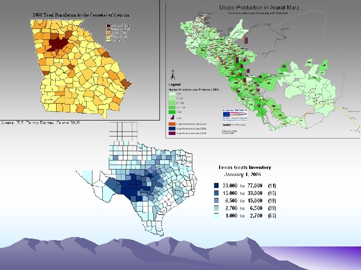
Thematic Maps • Thematic maps can represent a variety of information including things like climate, precipitation, vegetation, elevation, population, life expectancy, etc. • Thematic maps are generally used when you are looking at a single piece of information.
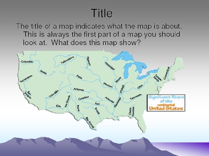
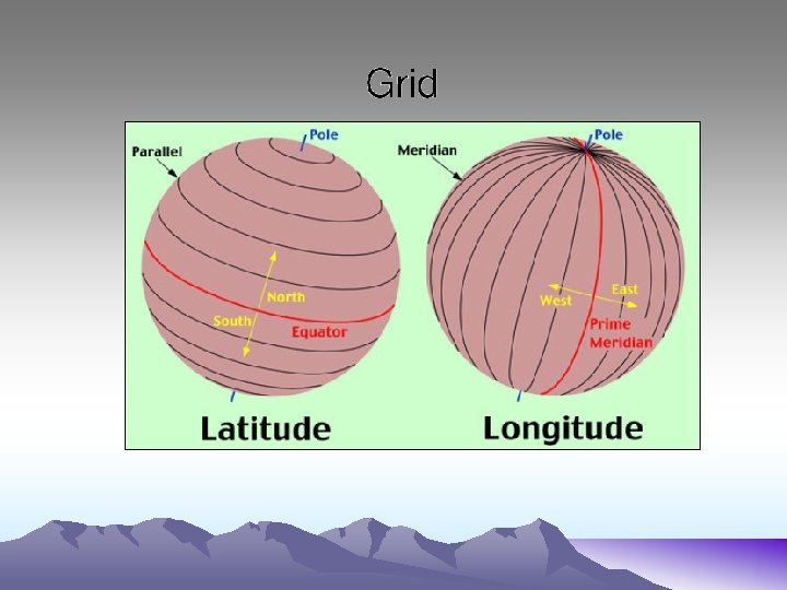
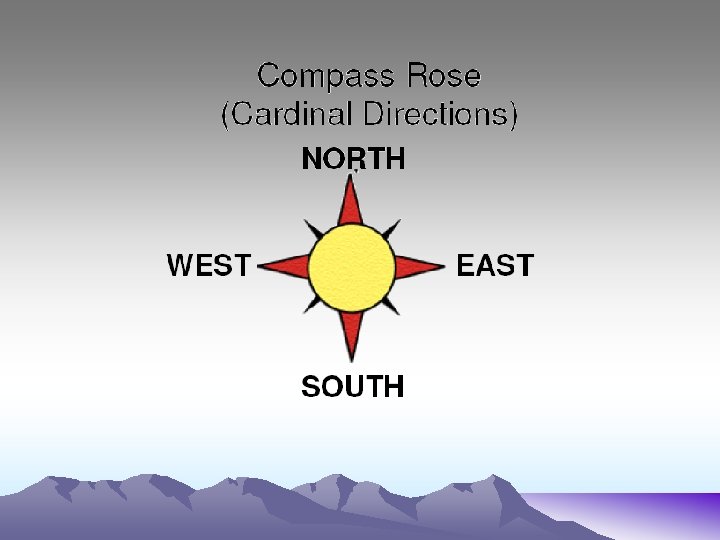
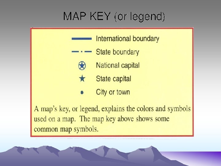
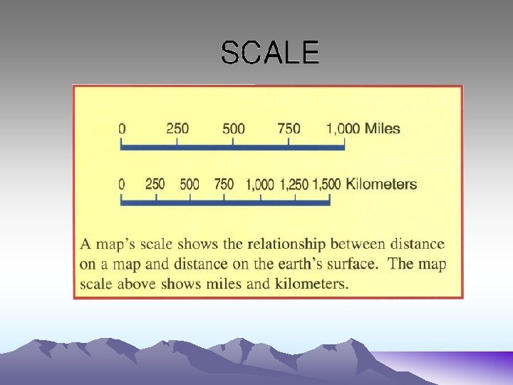
Map Components Title Grid Compass Key or Legend Scale